
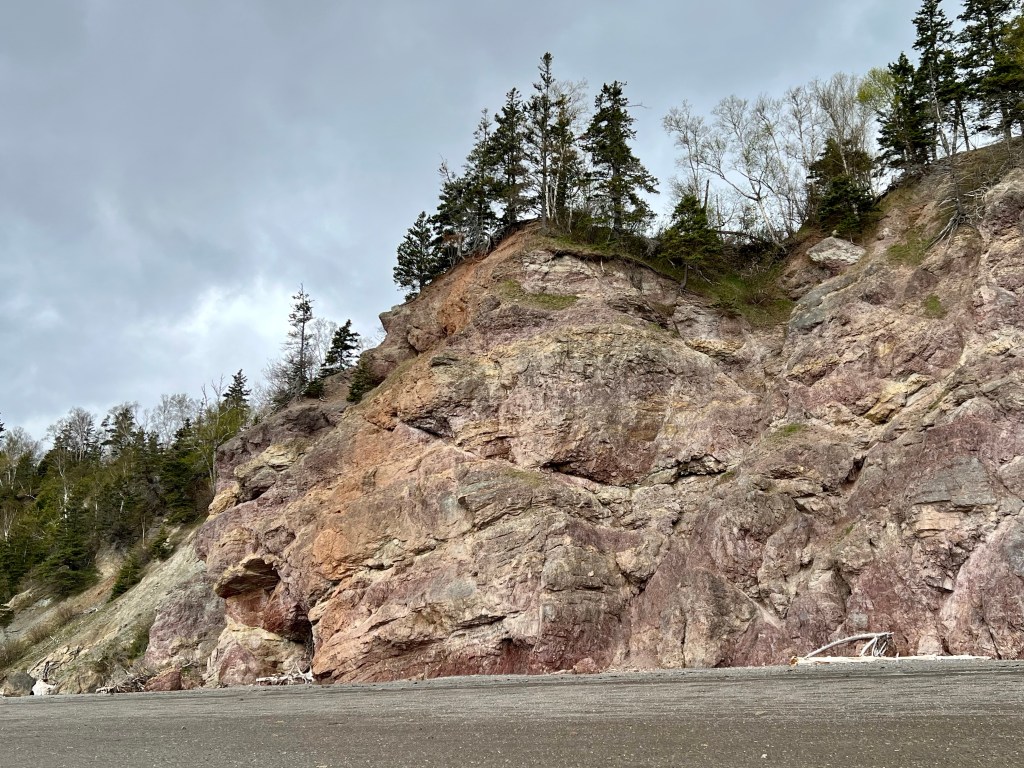
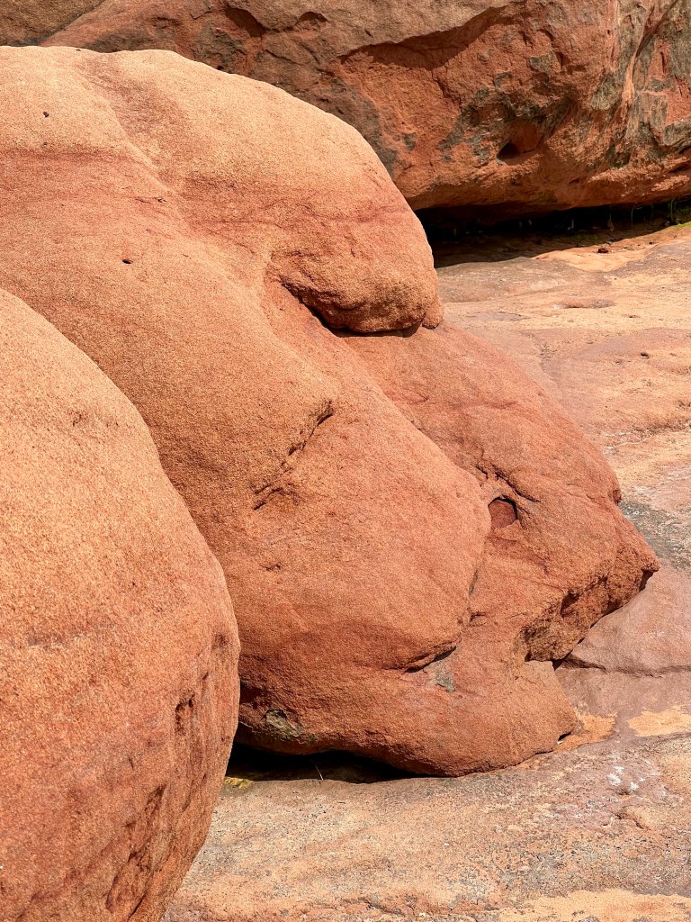
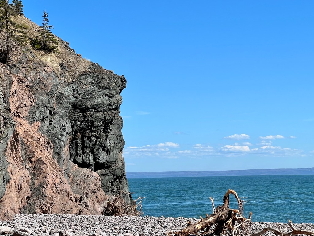
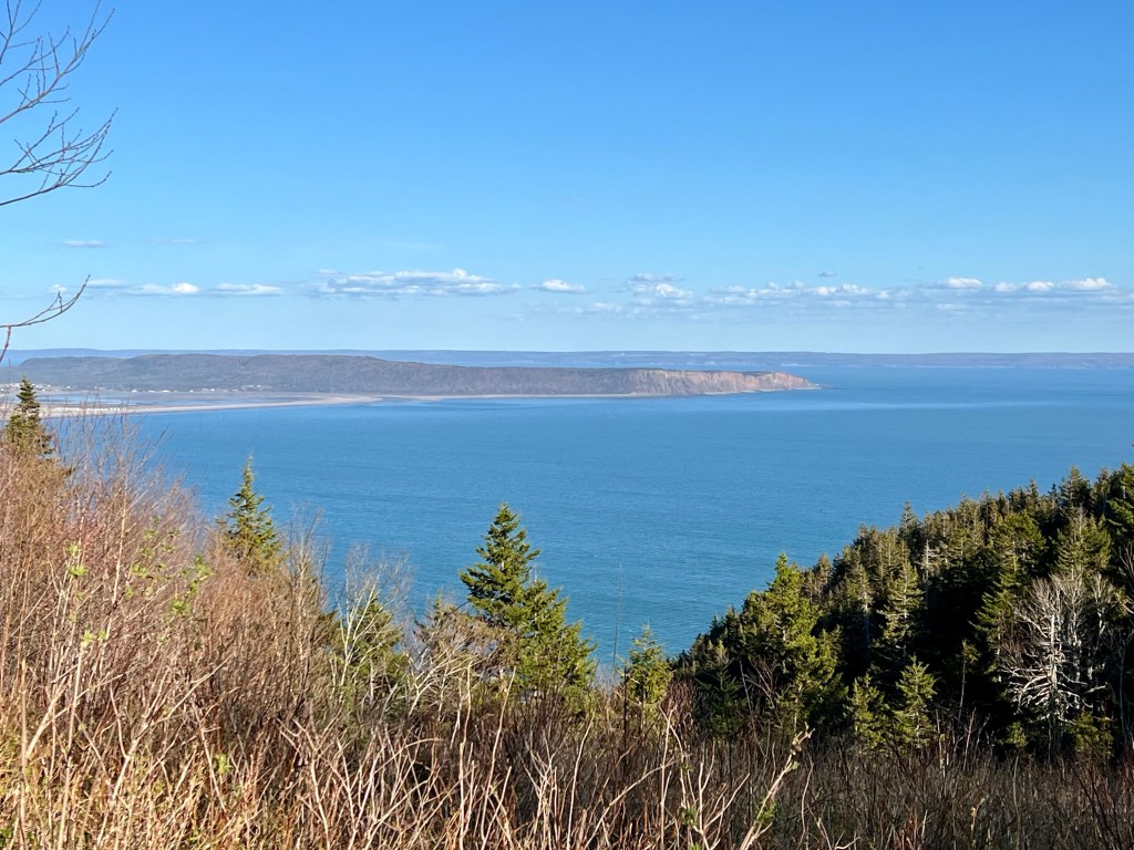
… all along the Fundy Shore rock cliffs .
…Home to Custom Guided Upper Bay of Fundy Ocean-floor Tours Tours .

… all along the Fundy Shore rock cliffs .

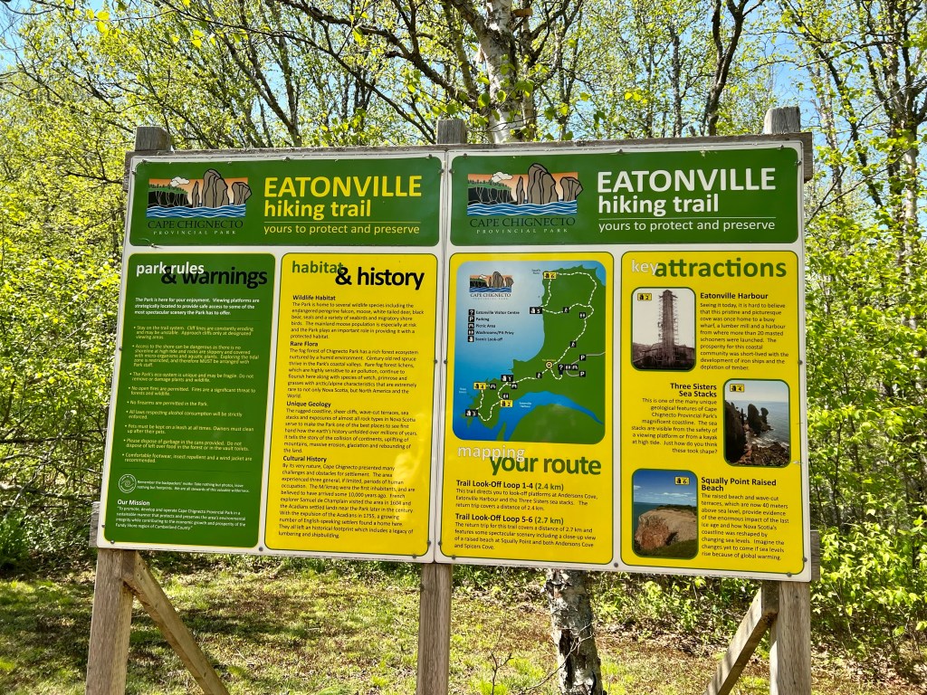

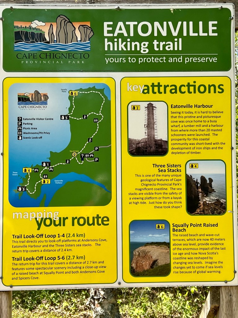

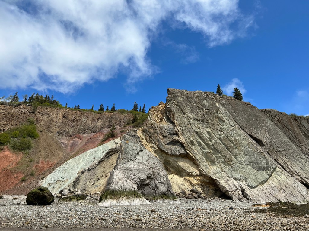
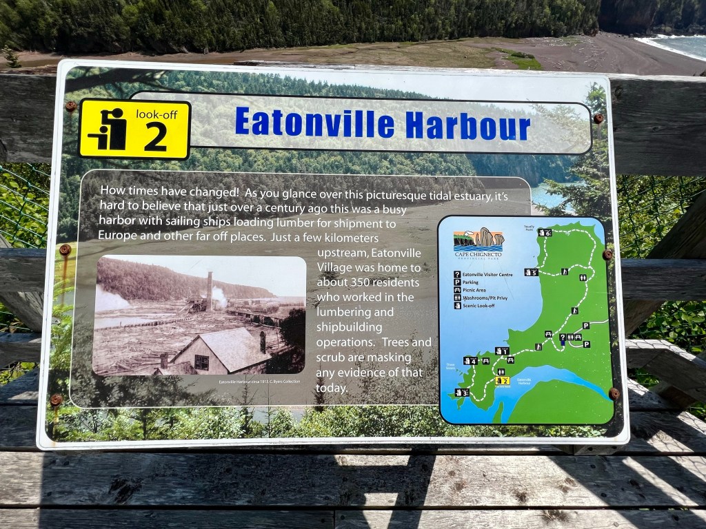
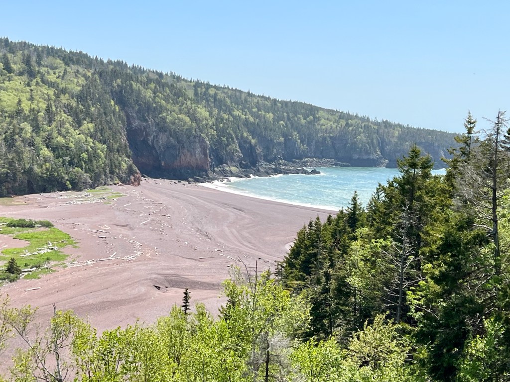
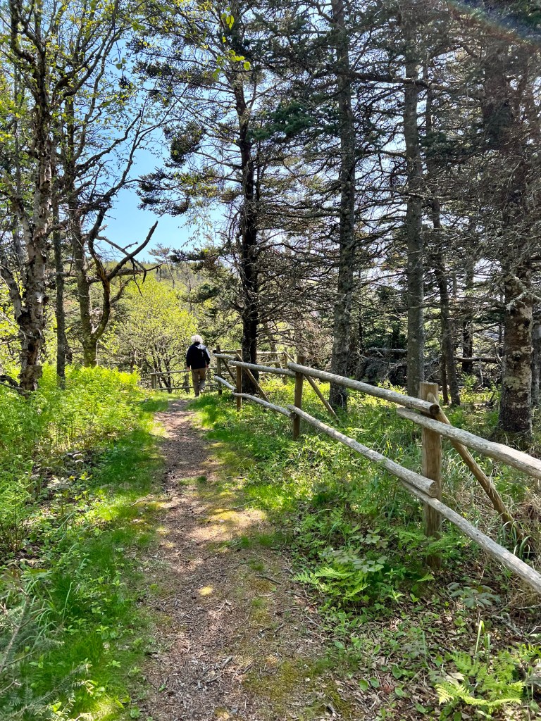
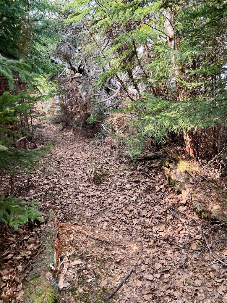
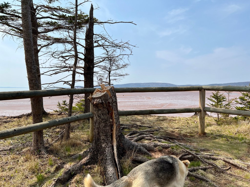
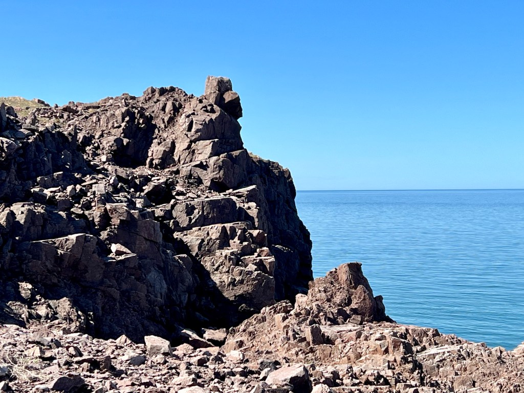
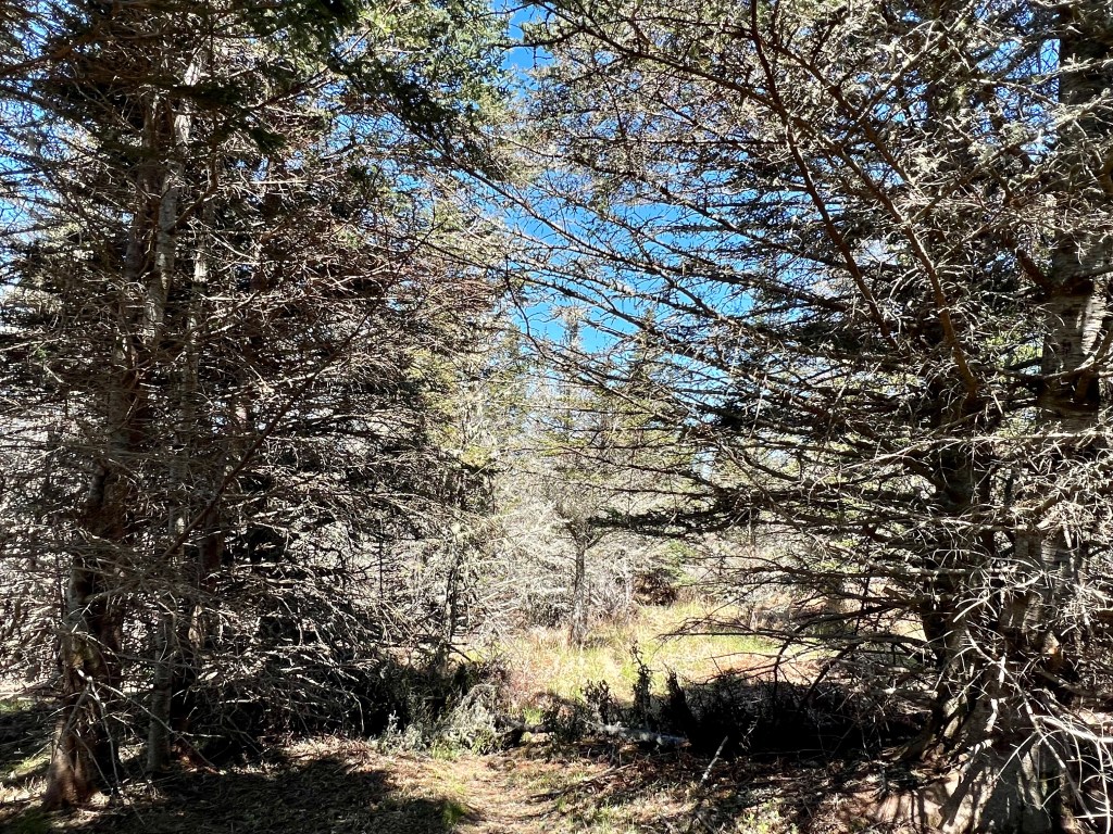
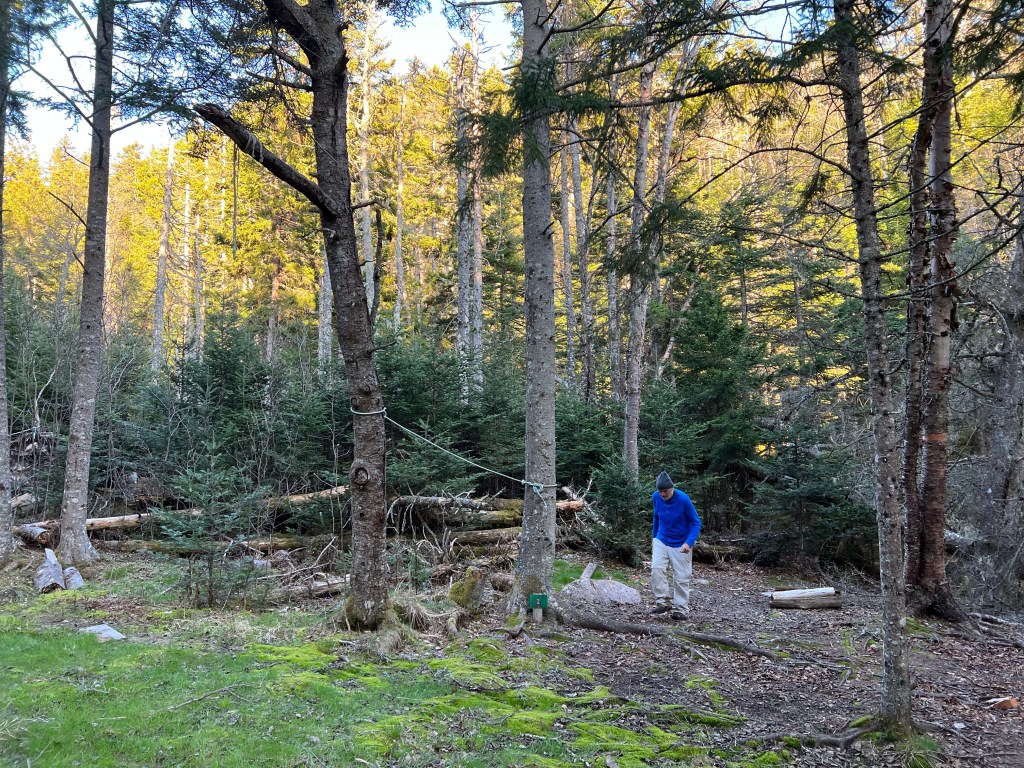
Sunday afternoon, sunshine and time to spare… we took a drive to Eatonville. There is plenty of parking near the gate and a well-maintained path leads to the trailhead just past the Eatonville Bunkhouse. Heading down the hill the interpretive board provides detailed trail information about the various worthwhile look off points.
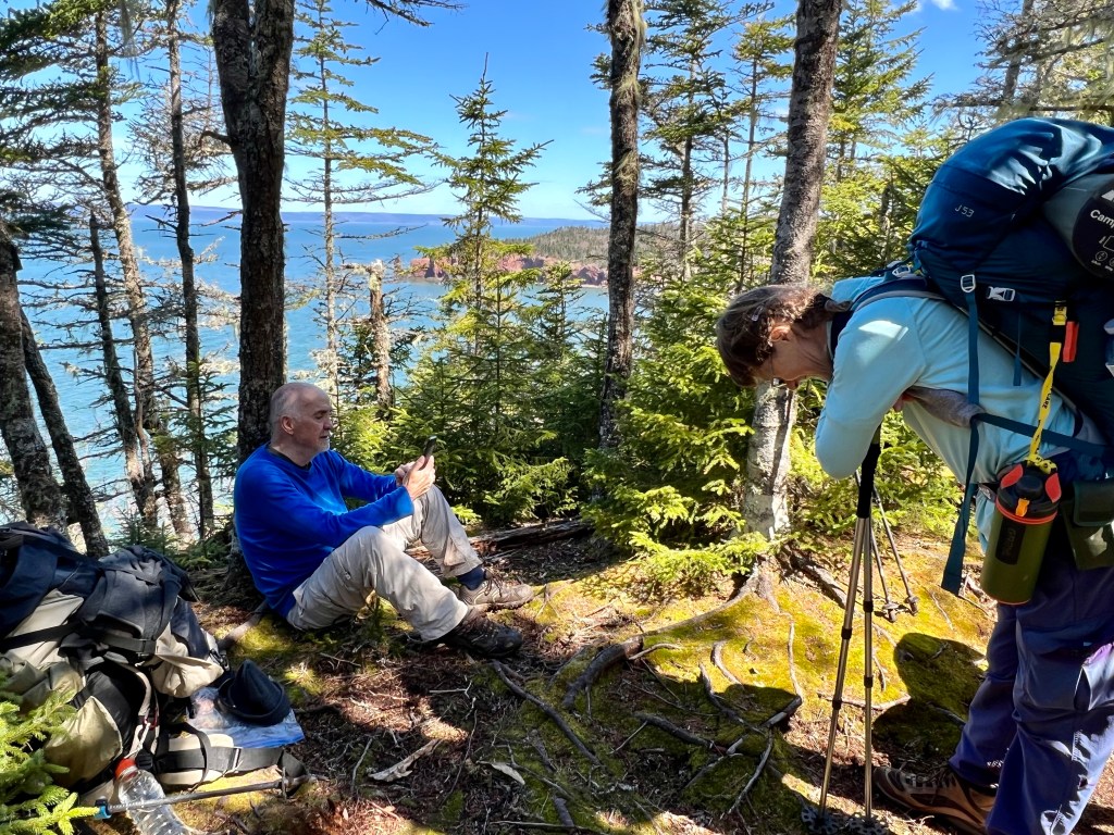
I was here a year ago when we had a Cliffs of Fundy GeoPark guided tour of the first four points of interest. Ever since I yearned to return, repeat the tour route and visit the remaining points of interest.
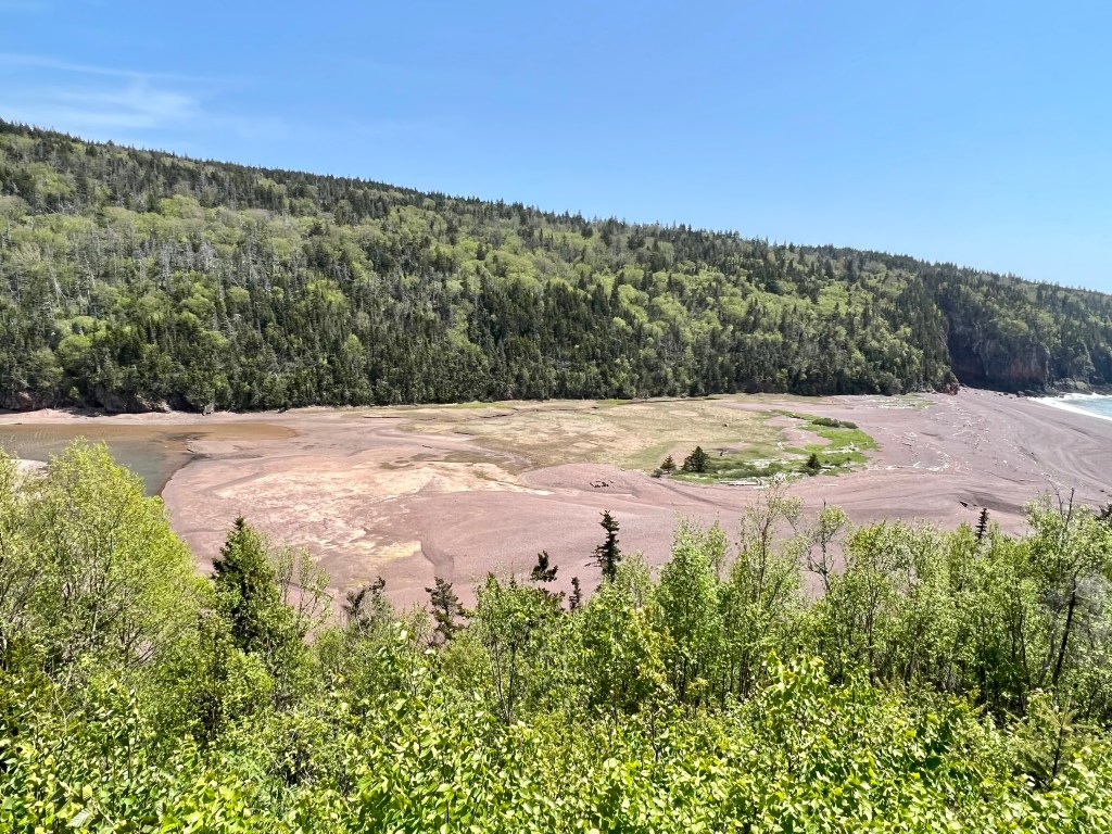
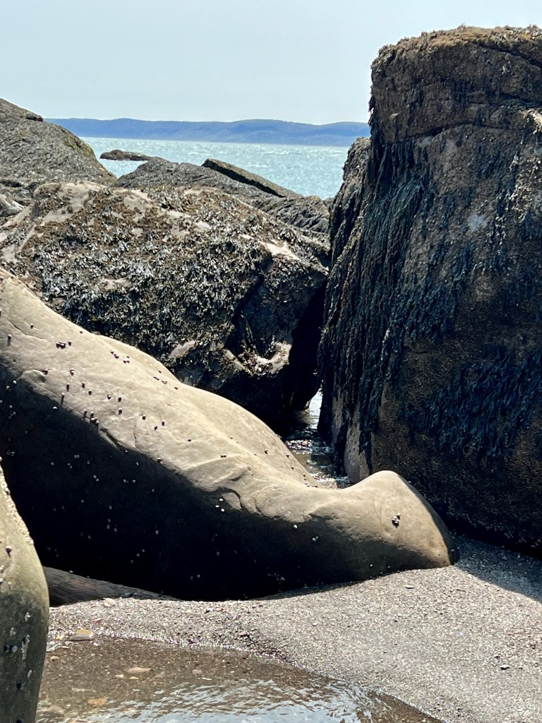
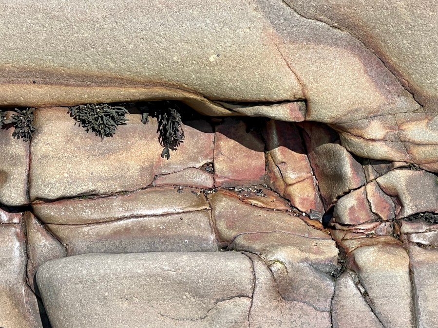
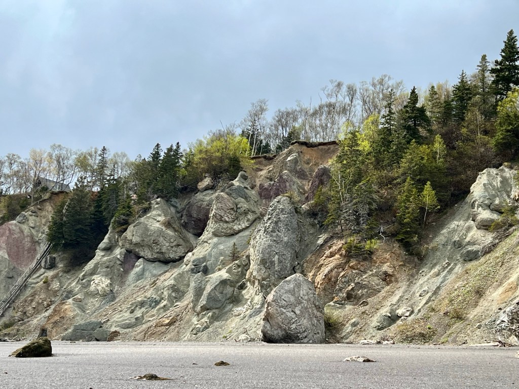
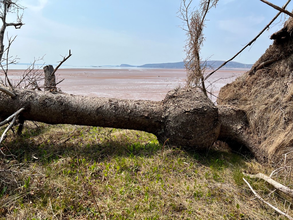
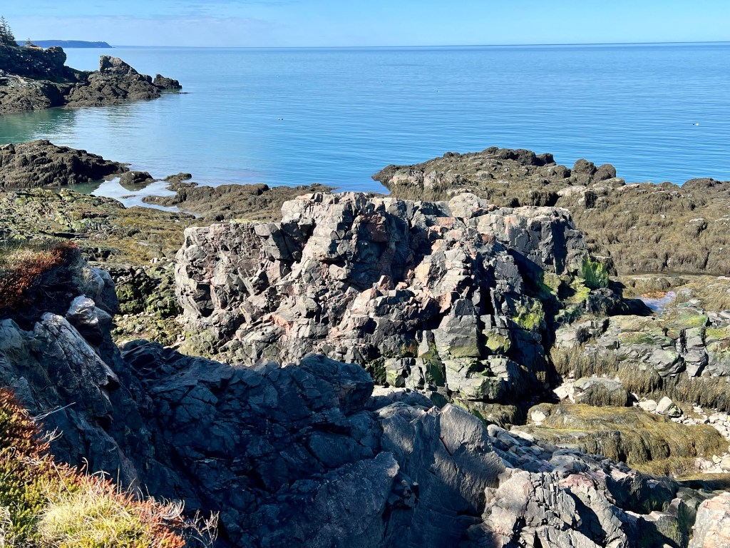
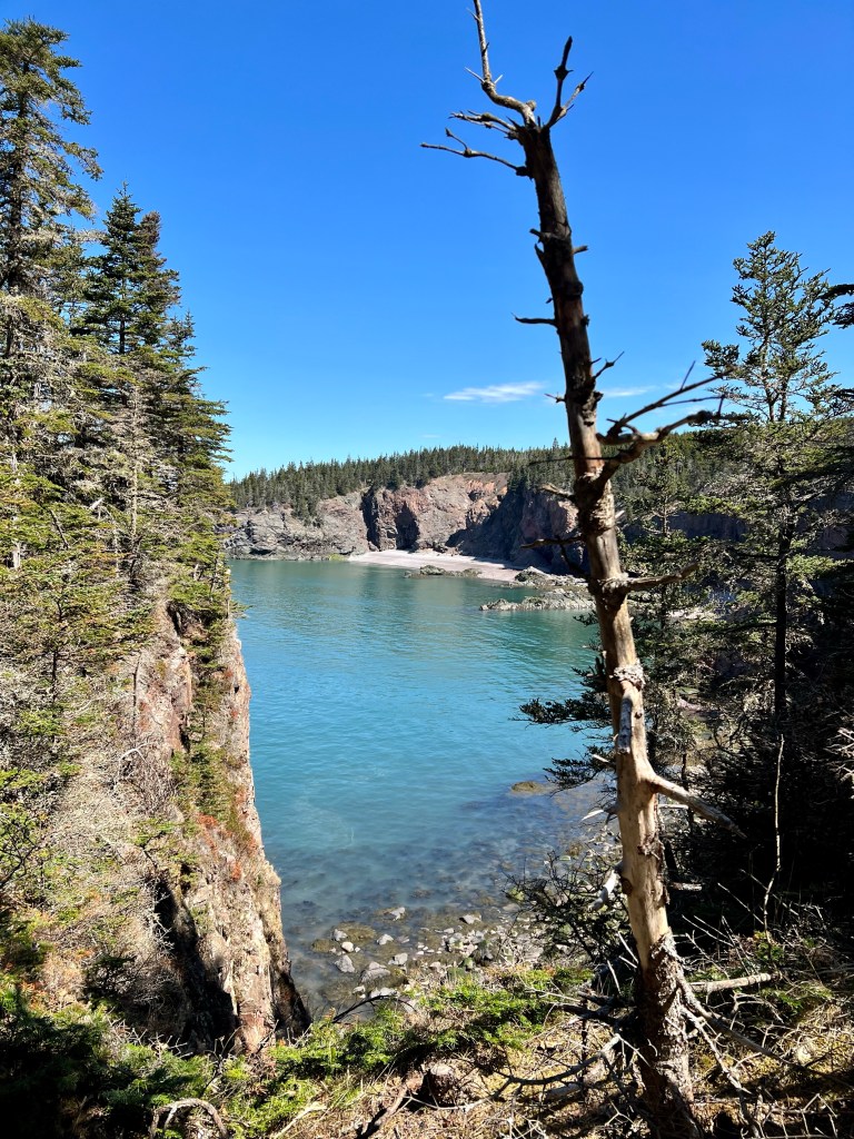
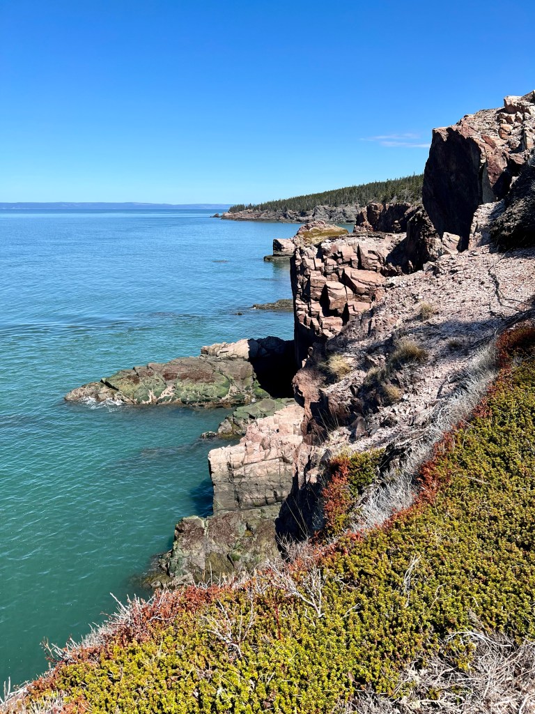
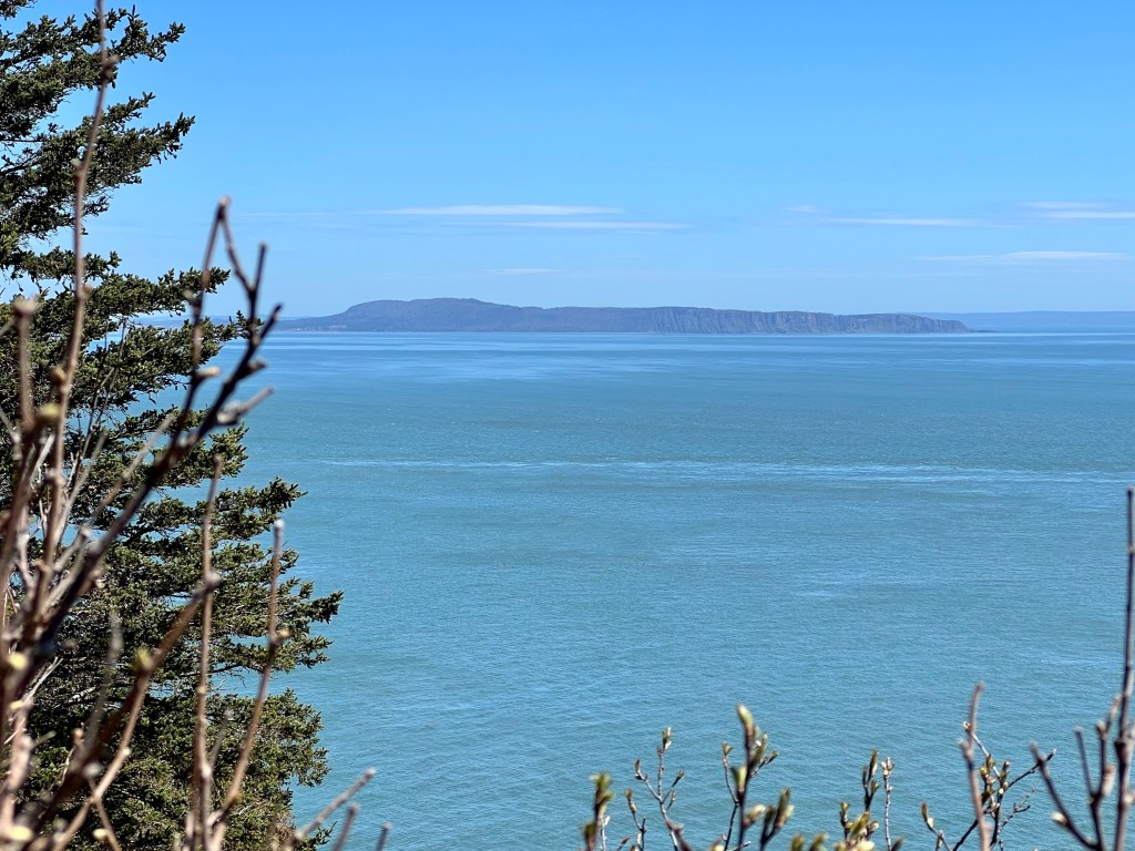
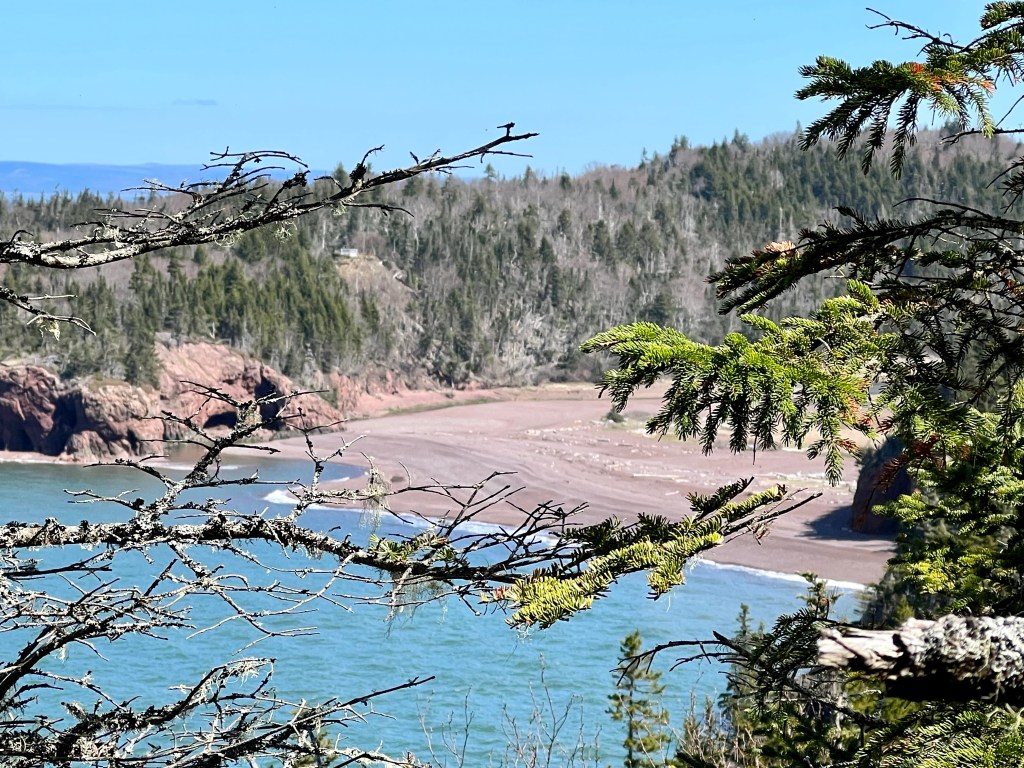
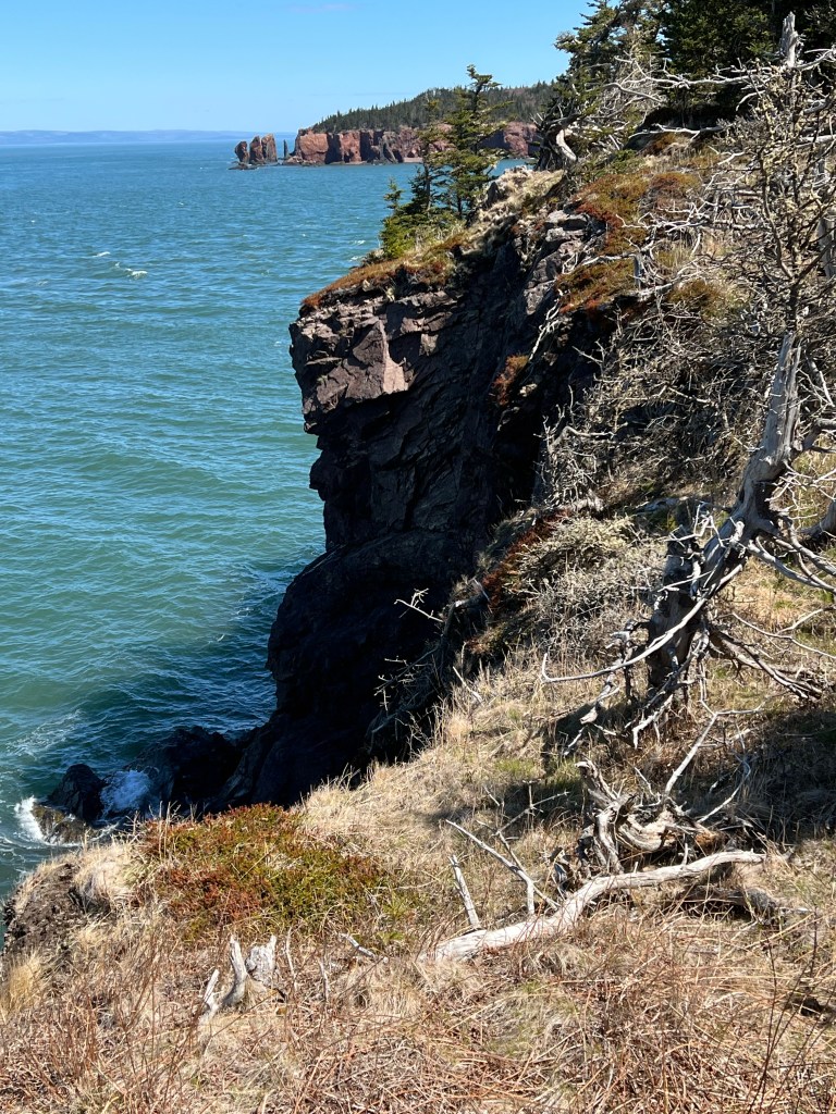
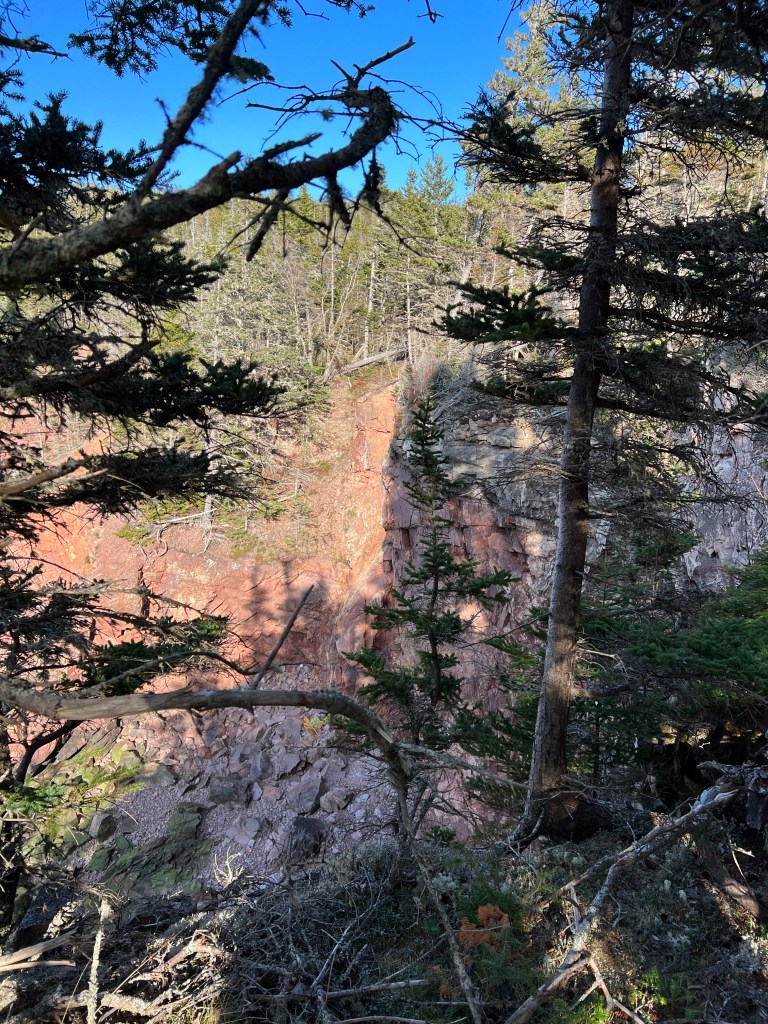
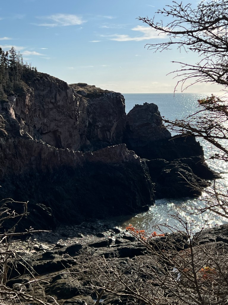
The second look-off provided an unobstructed view of the historically significant Eatonville Harbour.
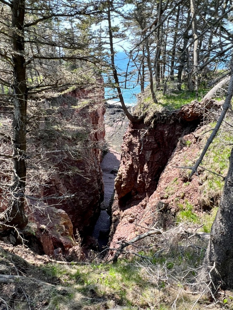
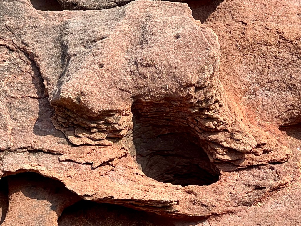
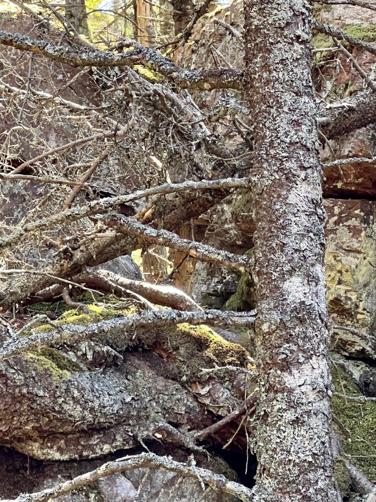
Next to the interpretive board I had to check for the wedged rock in the fissure. Yes, it was exactly where I discovered it last year.


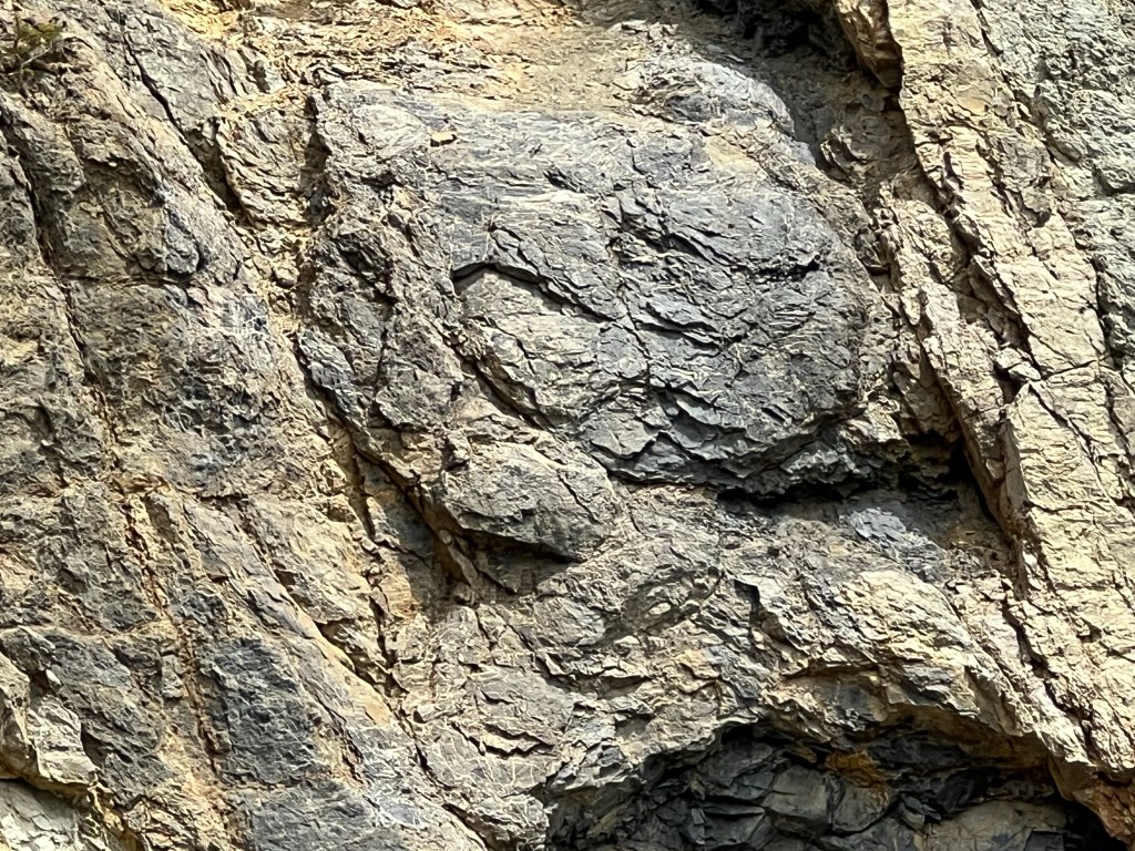
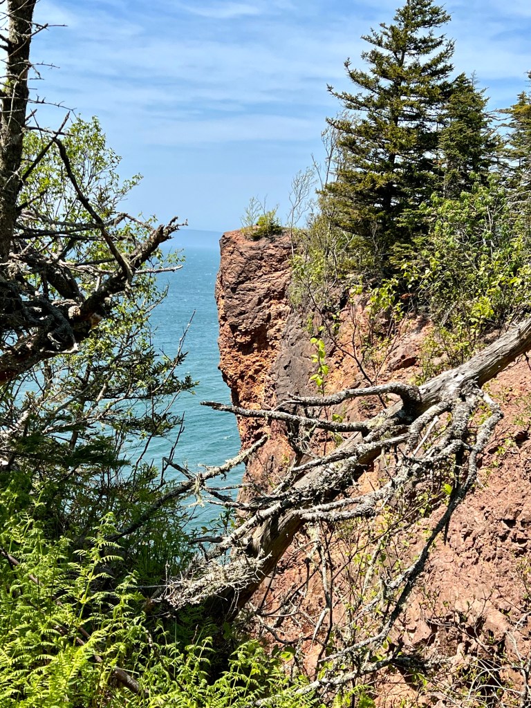
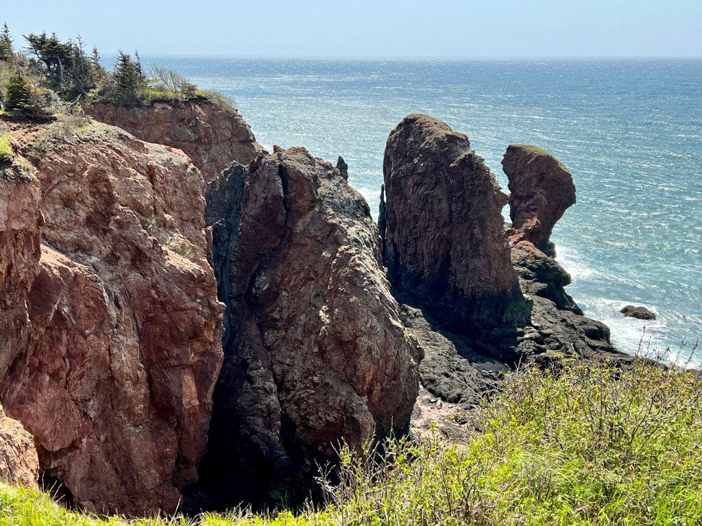
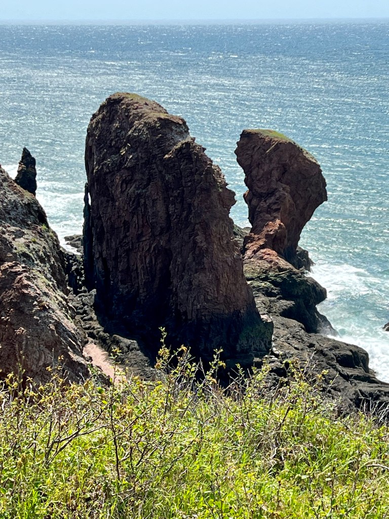
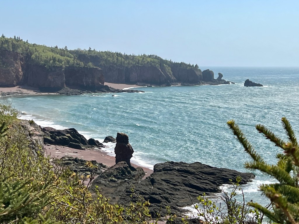
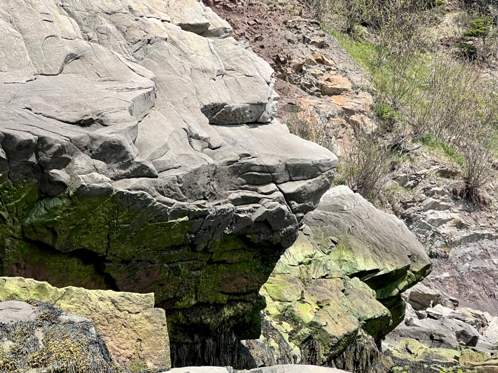
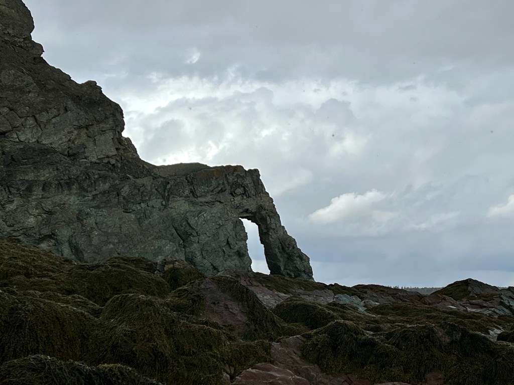
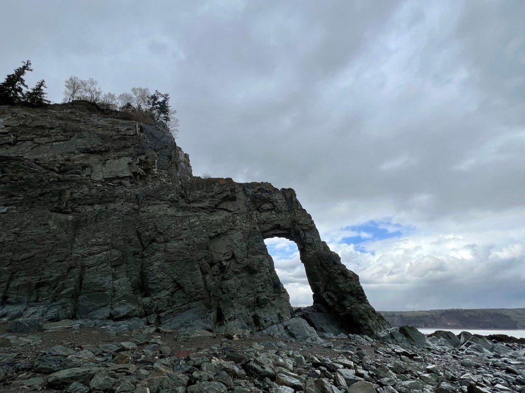
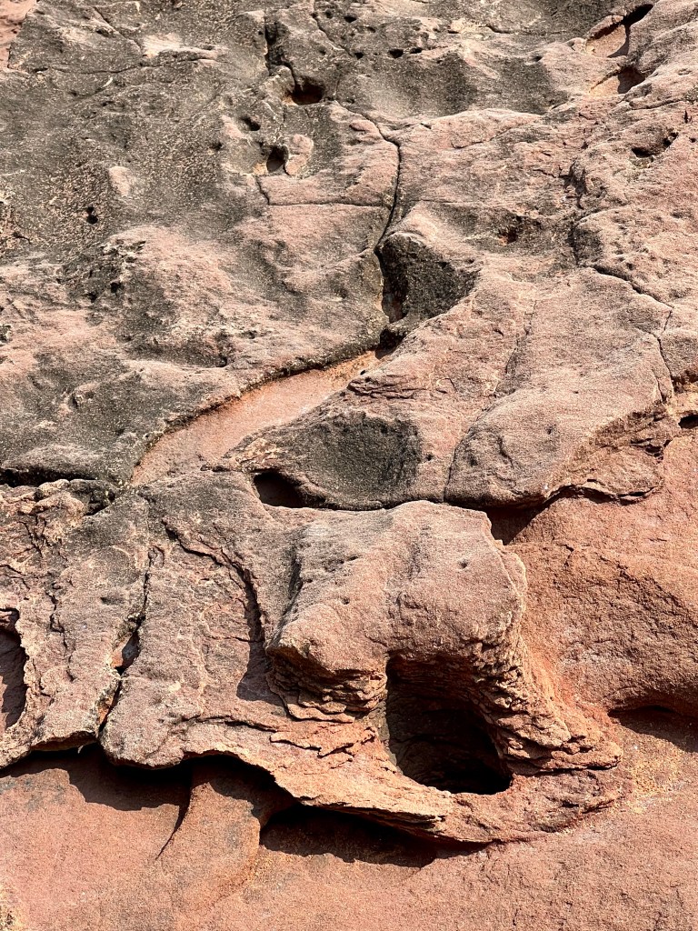
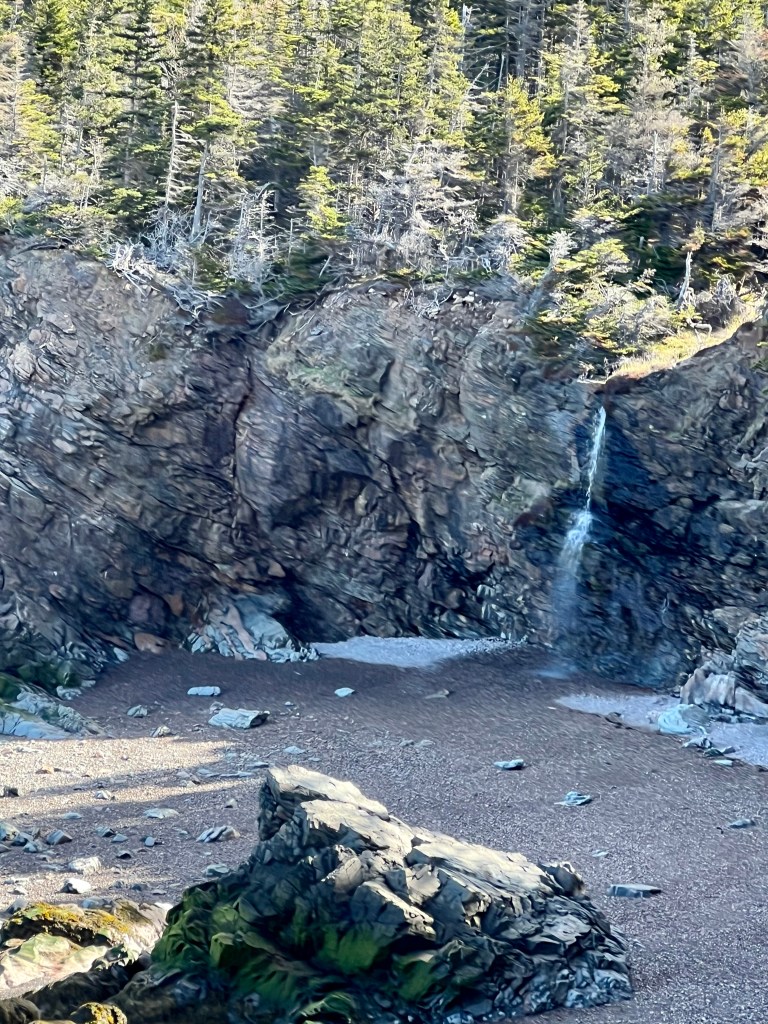
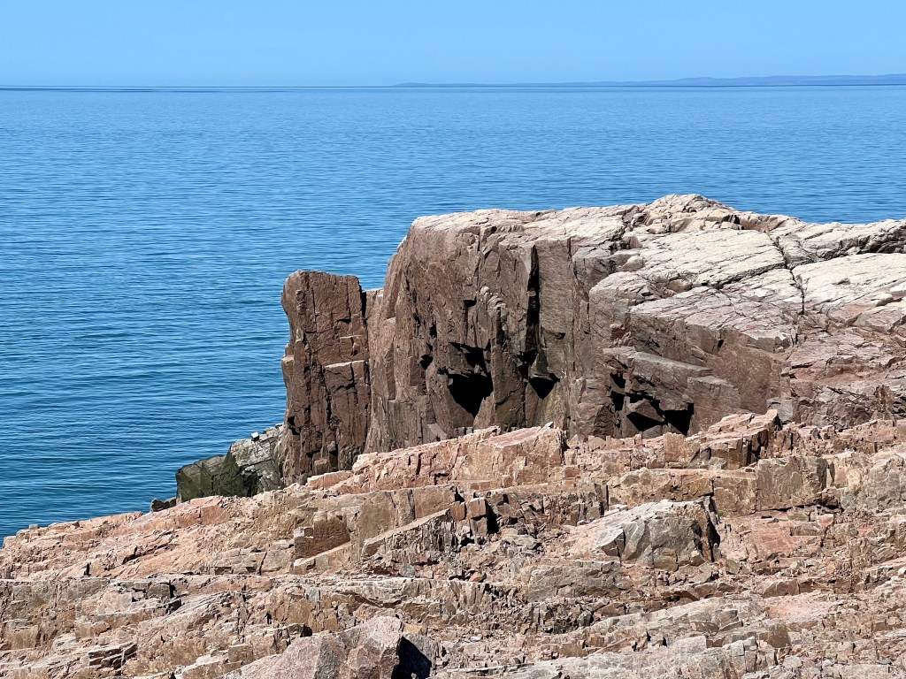
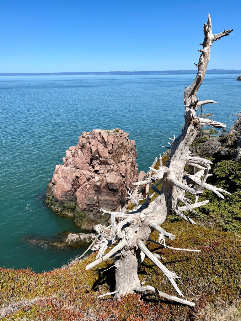
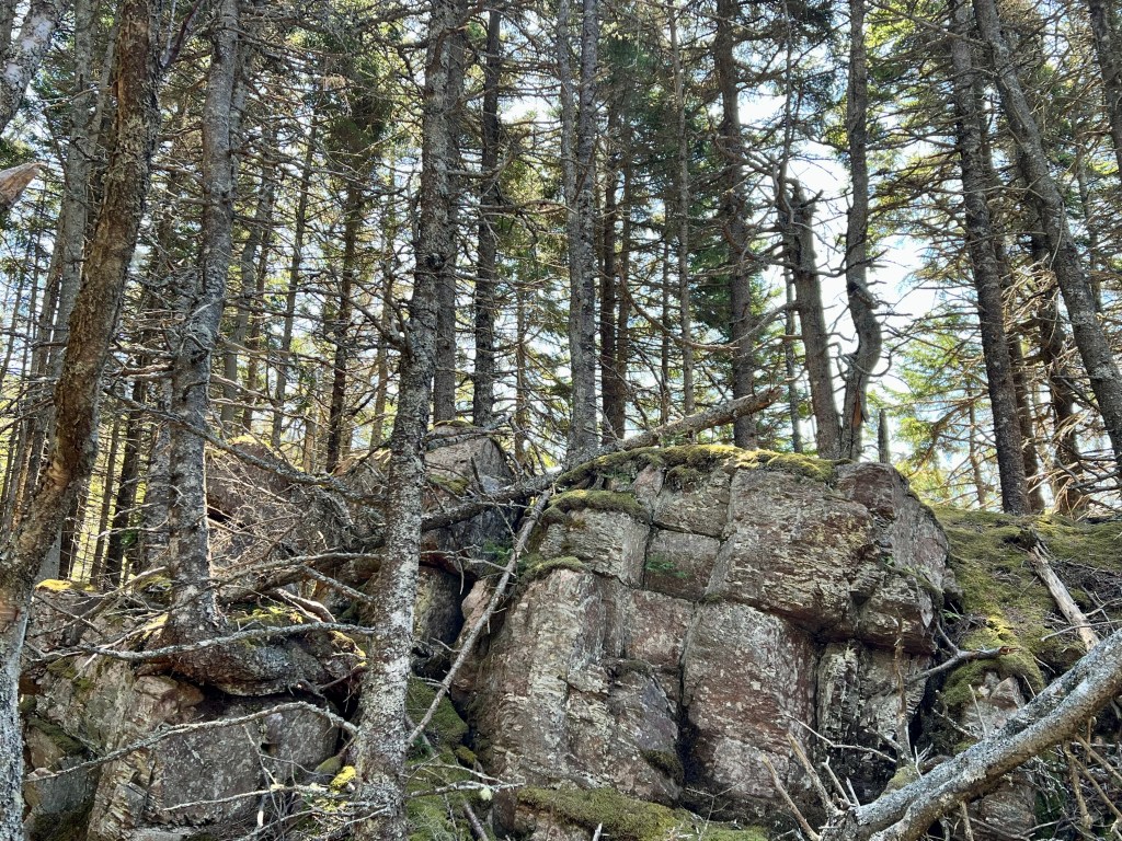
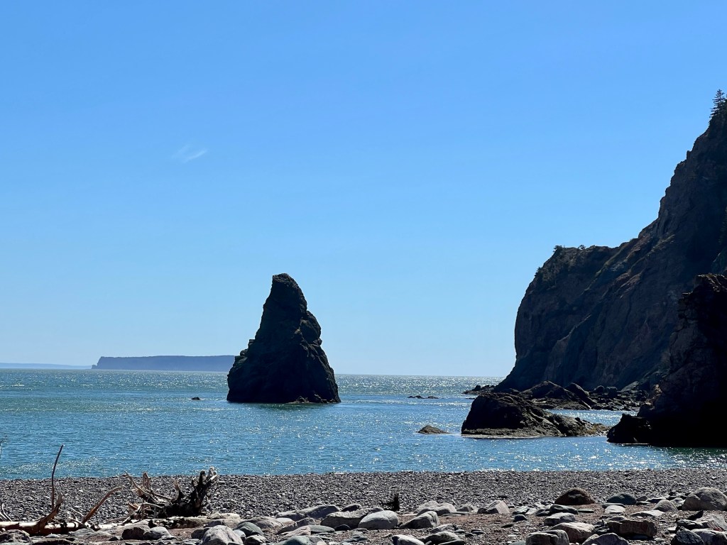
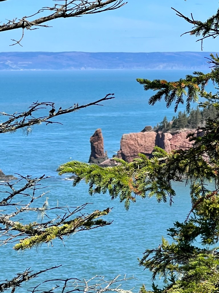
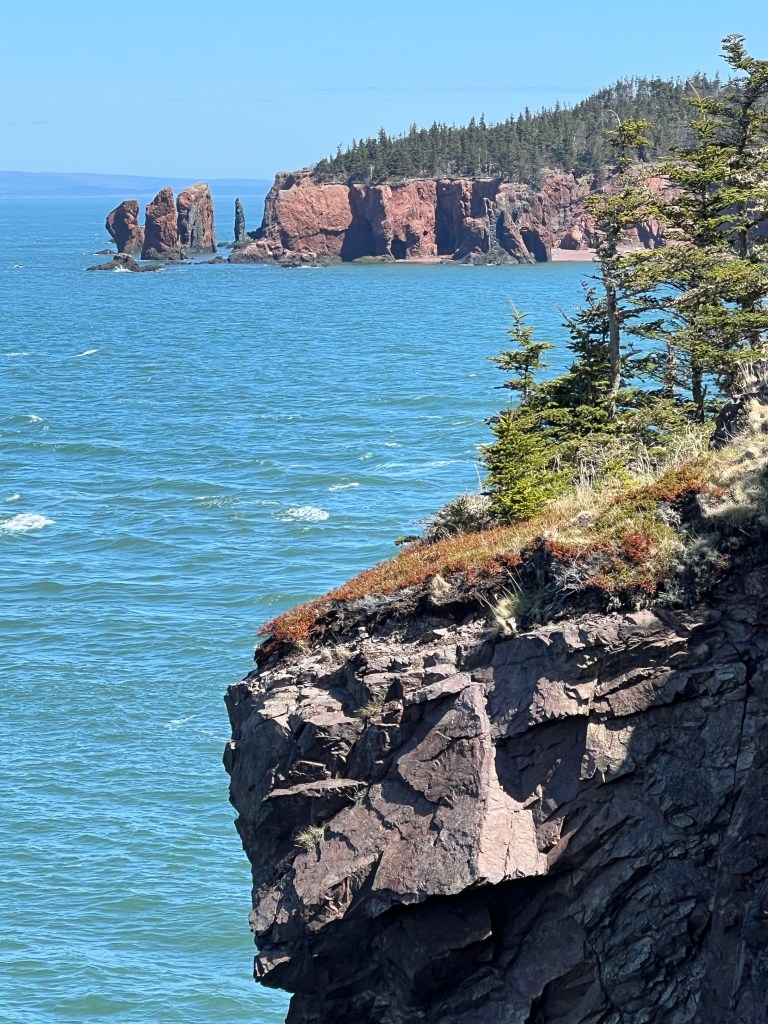
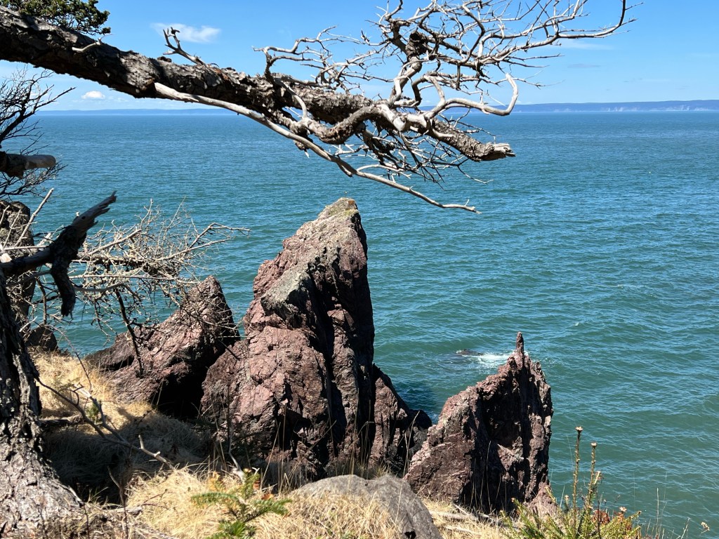
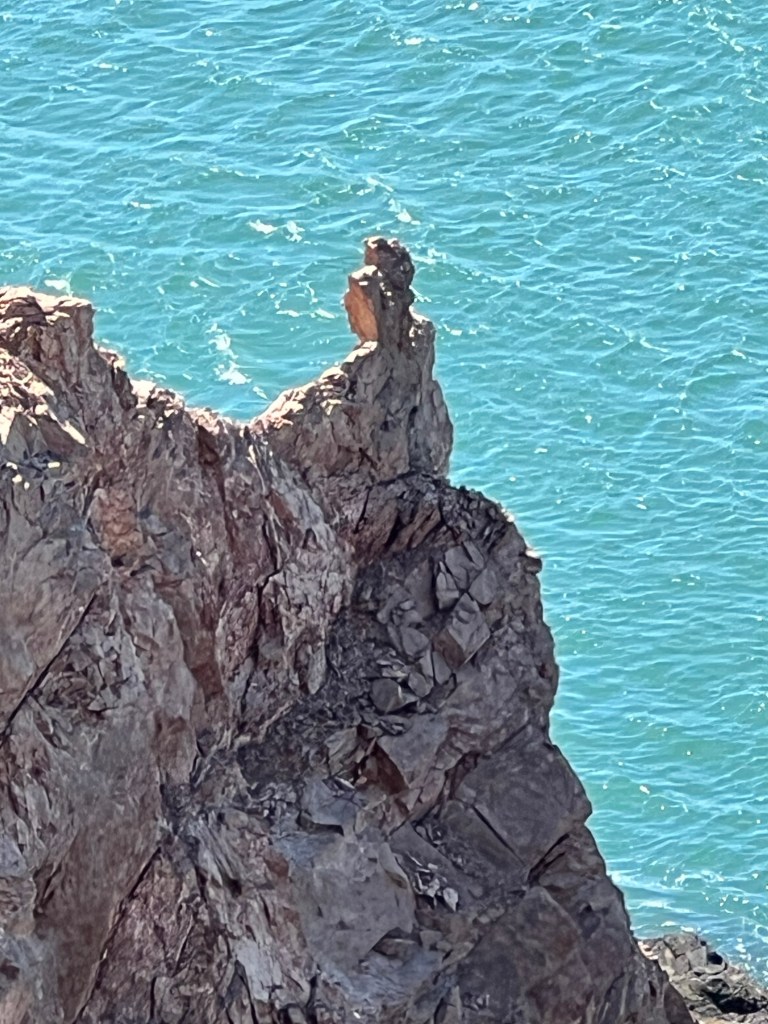
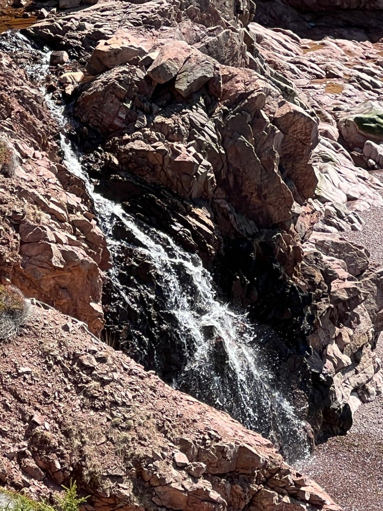
The evolution of pillar rock formations is the focus at the third look-off platform. It’s hard to believe that this pillar started as a rather large sea which morphed into a narrow arch when eventually that narrow arm collapsed and left this pillar. With each wind gust, each tide cycle and rain storm the pillar continues to erode and will eventually disintegrate to pebbles at the beach.


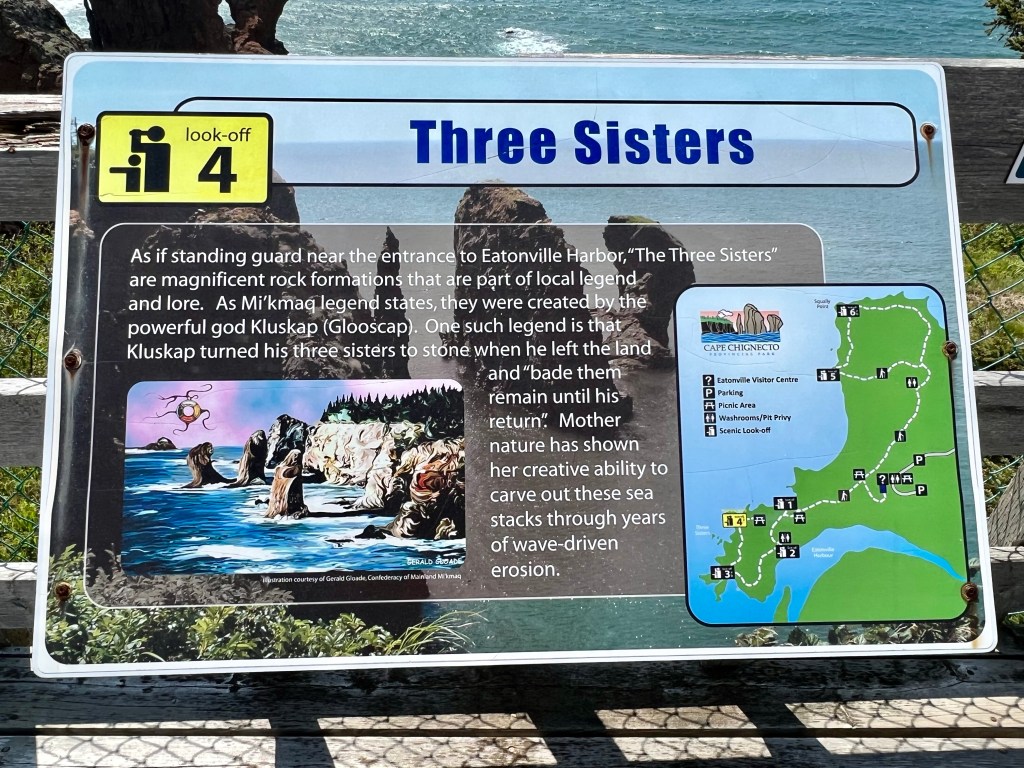
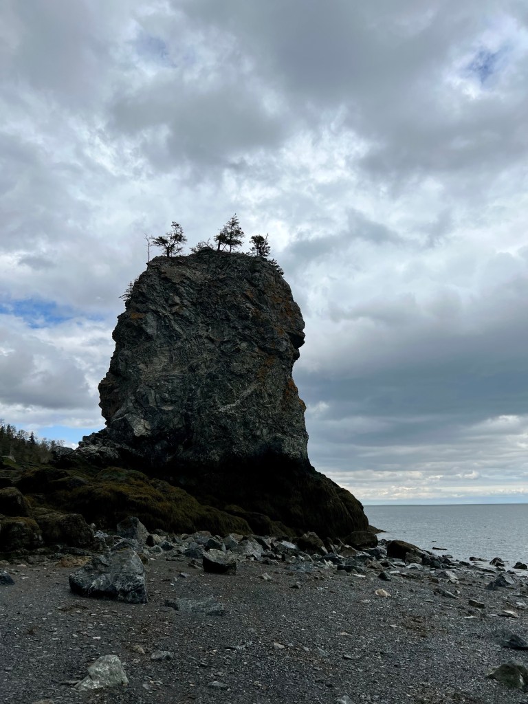
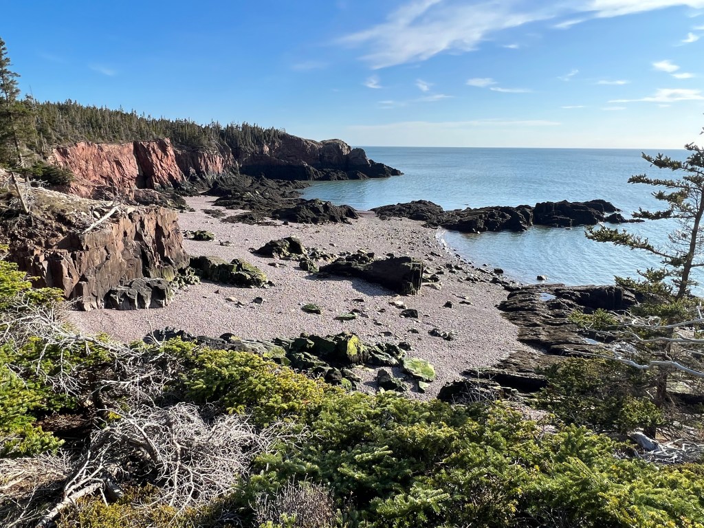
At last, but not least, we arrived at the Three Sisters viewing platform. The tide was rolling in but not high enough to completely surround these unique pillars.
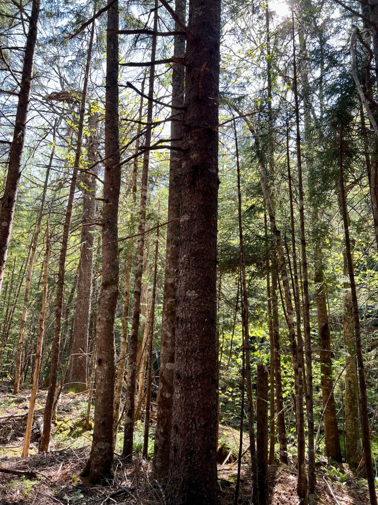
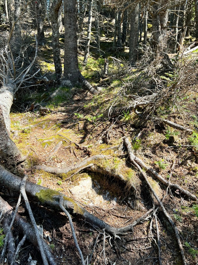
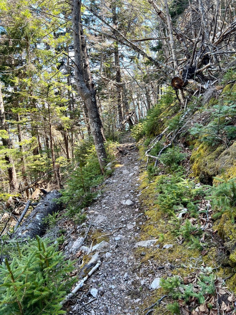
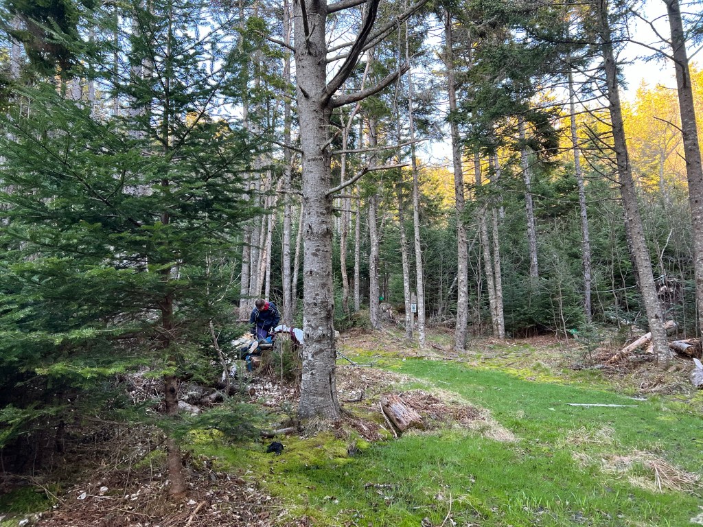
A short cut leading through the forest returned us to the main trail.


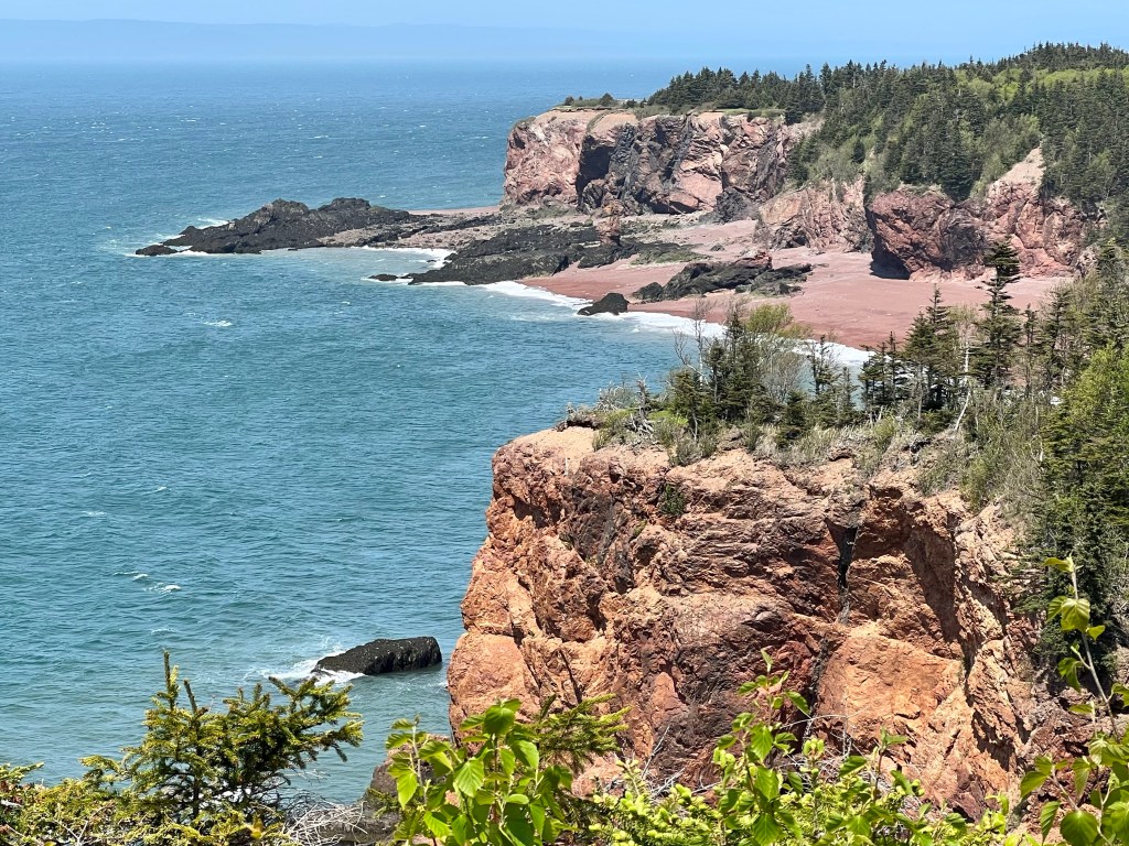
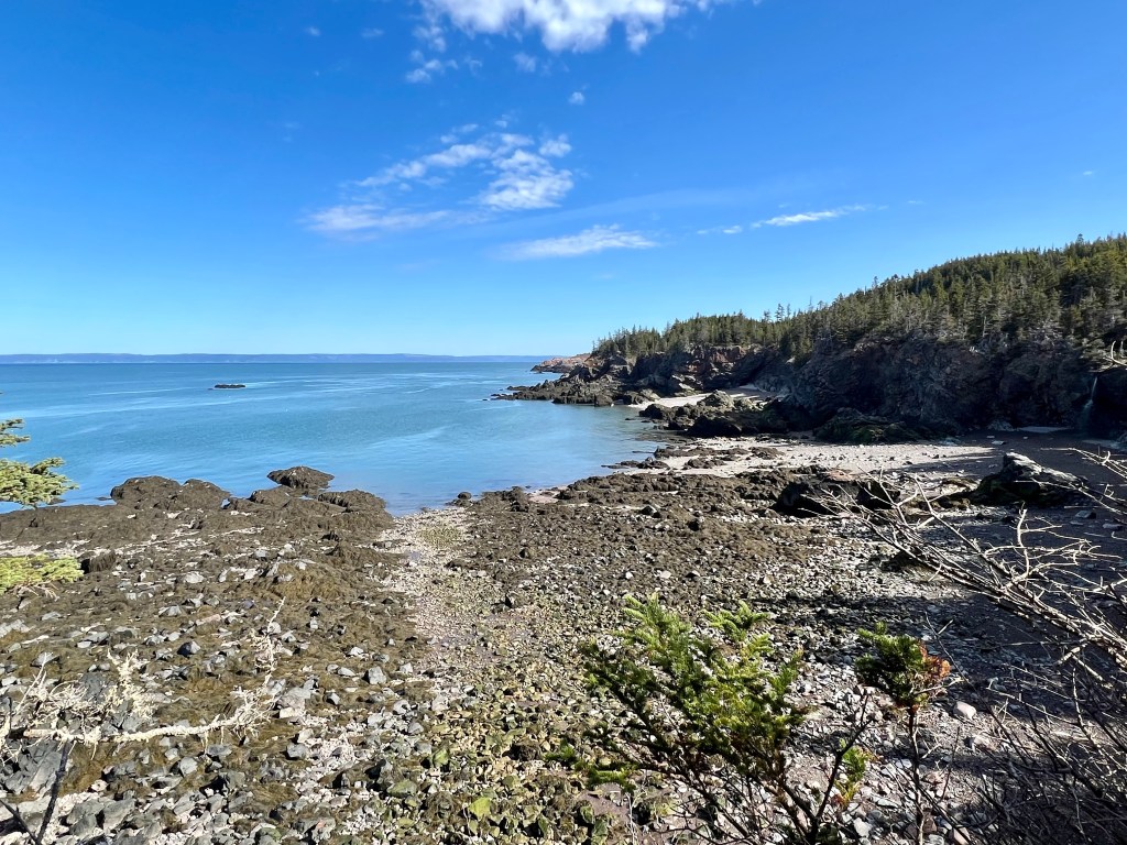
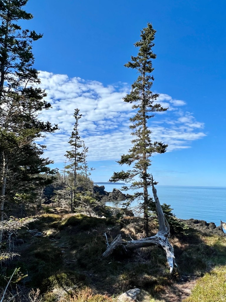
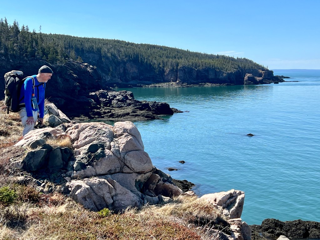
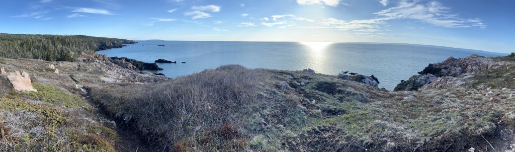
Once we returned to the map display board we continued straight instead of returning to the Bunkhouse. We were glad we carried on because the coastal views are some of the most beautiful to take in.

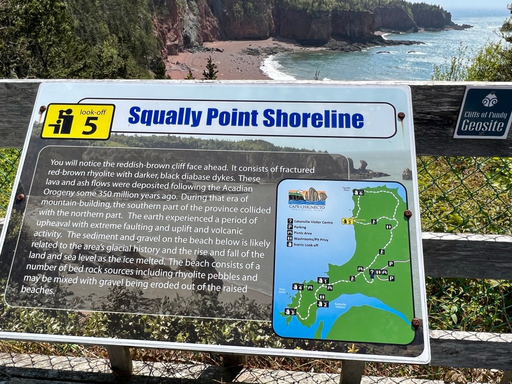
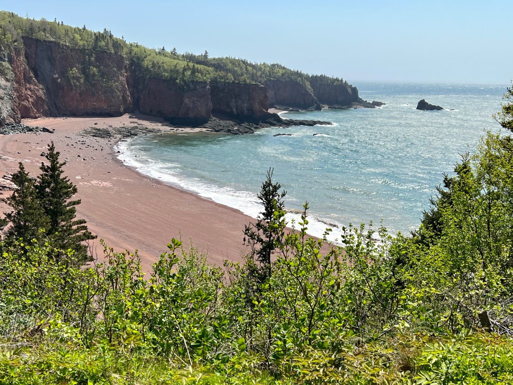

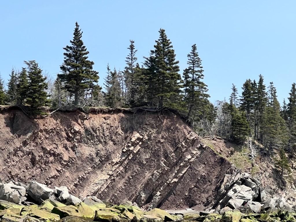
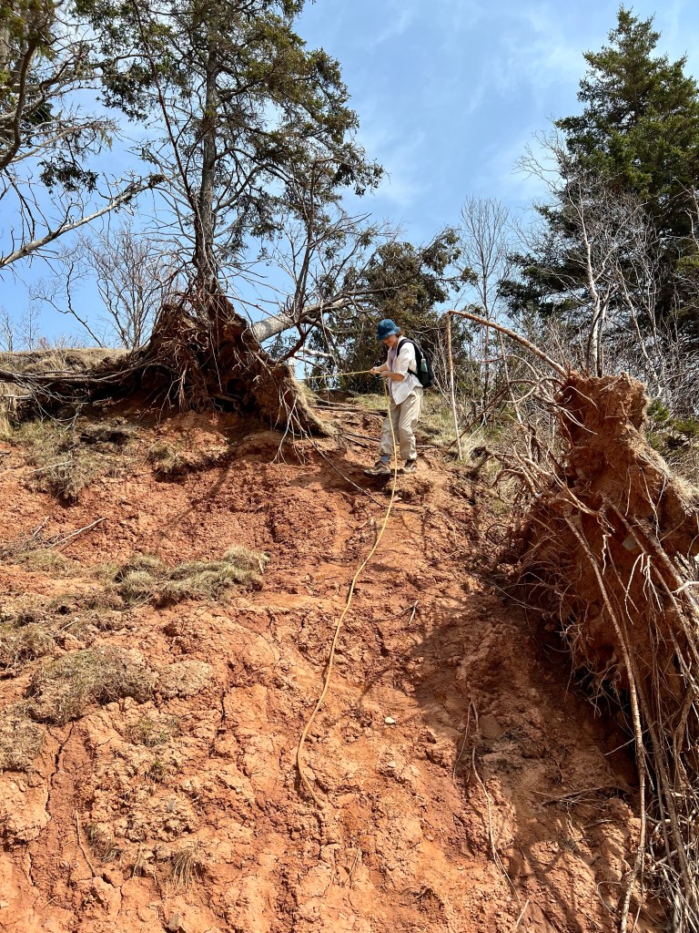
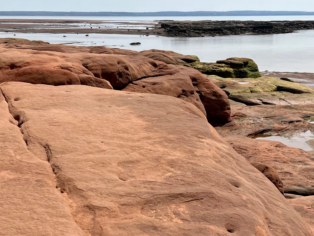
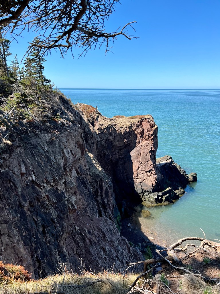
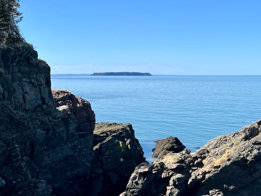
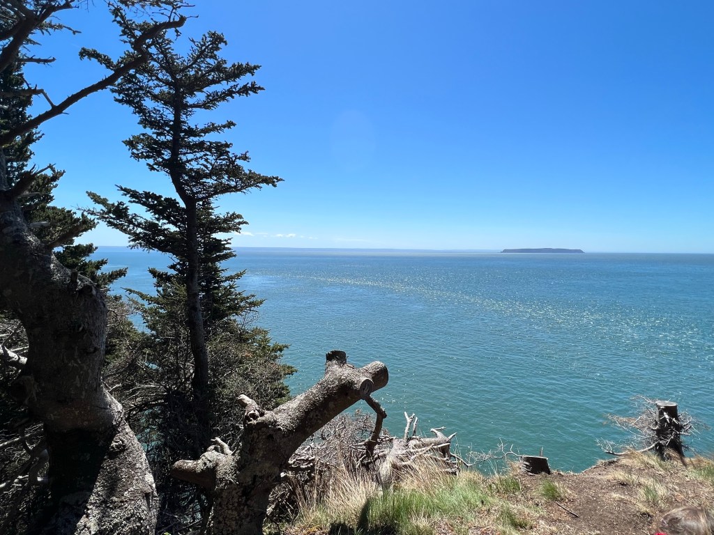
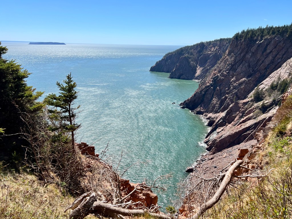
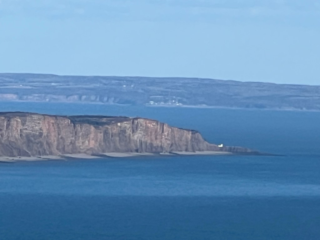
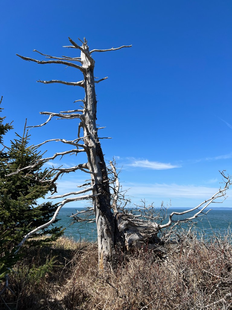
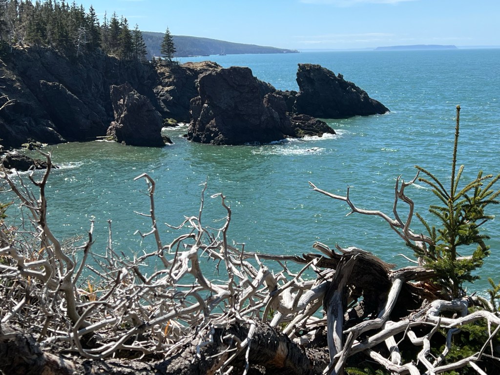
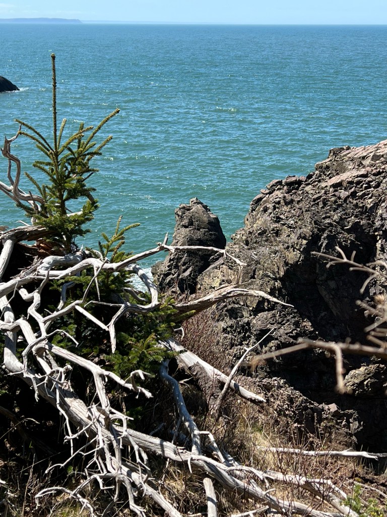
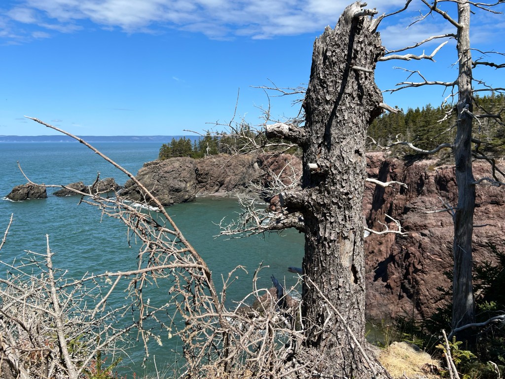
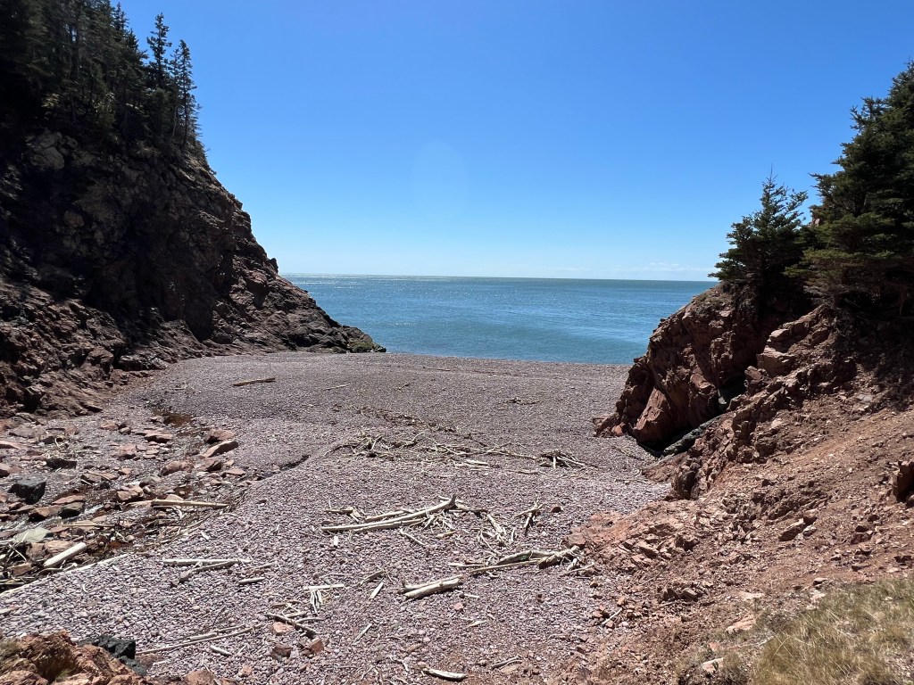
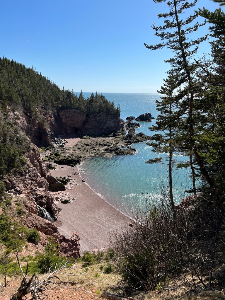
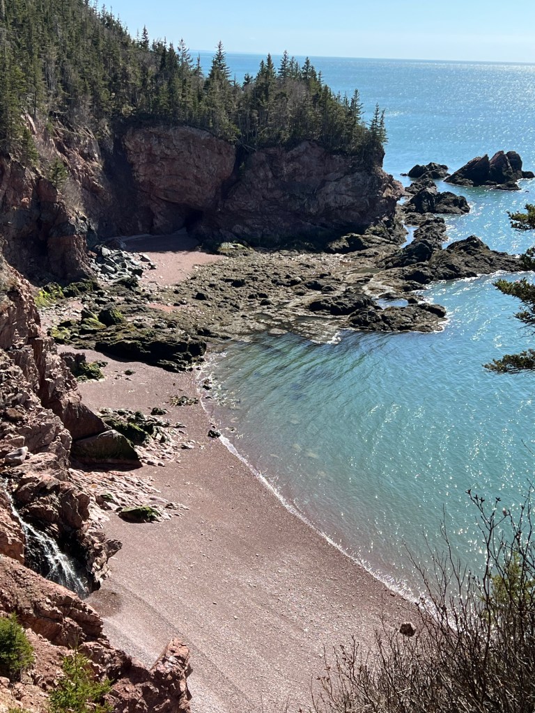
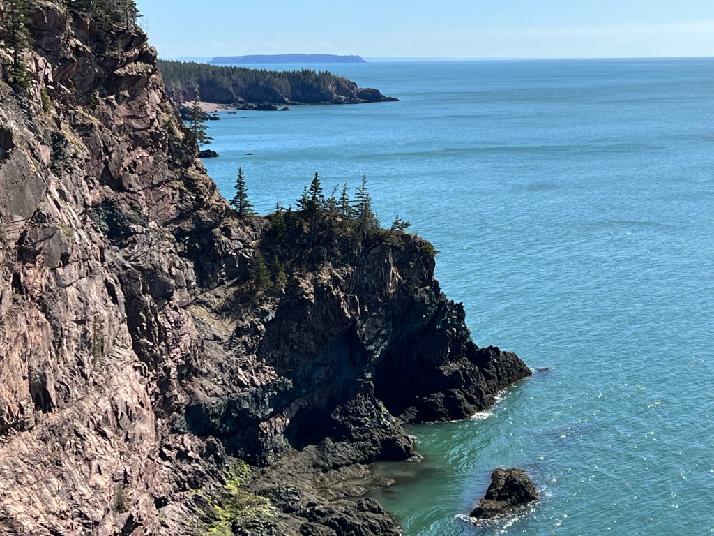
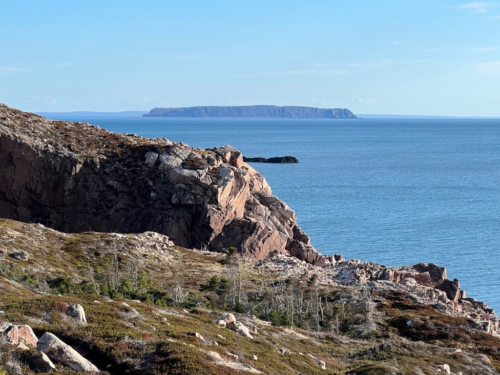
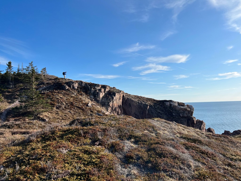
Squally Point look-off afforded us a fabulous view of the impressive rhyolite cliffs. We discovered beach access we plan to investigate when we have a full day to explore. We were certainly envious of the two people far below us enjoying the all-consuming wave action of the mighty Bay of Fundy.


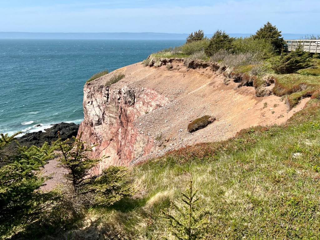

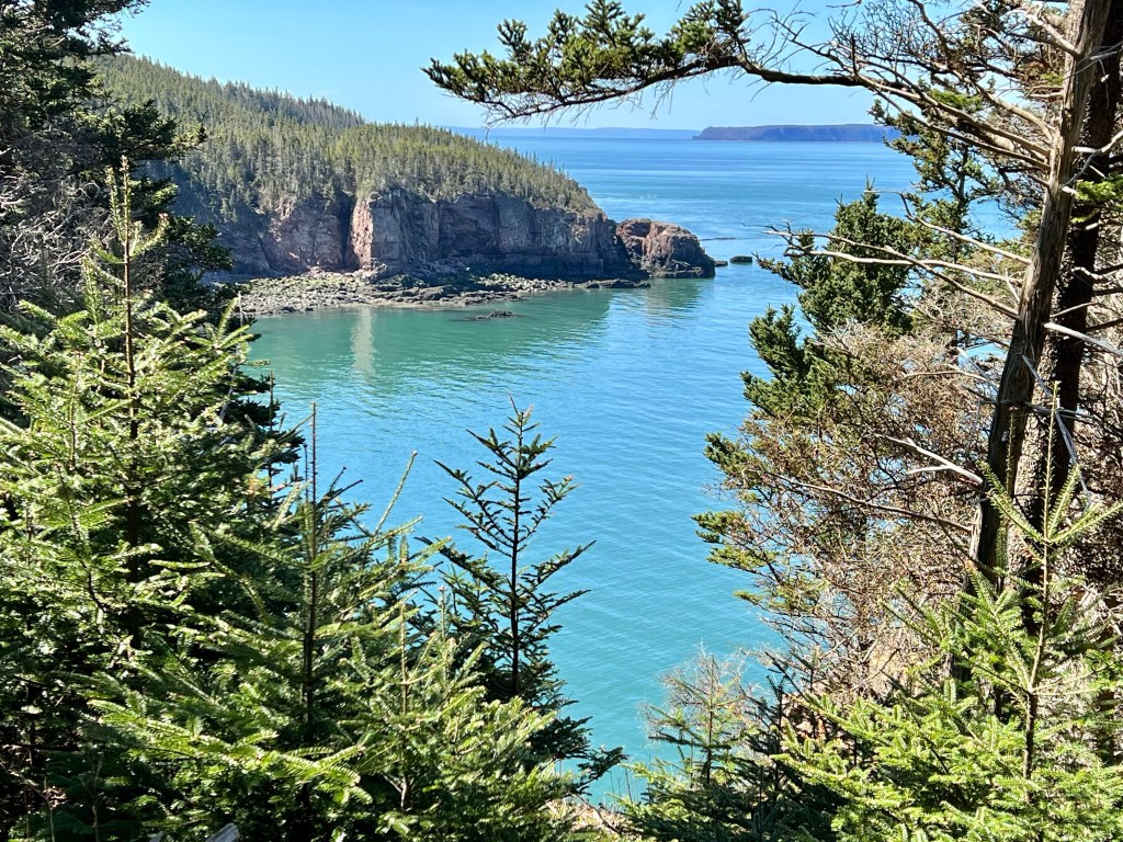
Squally Point took our breath away, literally! What impressive natural history we witnessed while the wind nearly blew us over. We explored the well-maintained look-off boardwalk leading us to the ultimate view of Spicer’s Cove, across to the Apple River Lighthouse and Fundy National Park on the New Brunswick shore.

Once we returned to the trail the wind was less strong and we enjoyed a leisurely stroll back to our starting point.


If you have limited time to explore the Cliffs of Fundy Geopark make your way to Apple River. It provides the visitor with a wonderful smorgasboard of this impressive coastline reminiscent of Cape Chignecto. Walking this trail today ignited my desire to return to the Cape Chignecto Coastal Trail and hike it a second time.
Thanks for checking in this Sunday. I hope you had a fantastic weekend. Best wishes, Anna

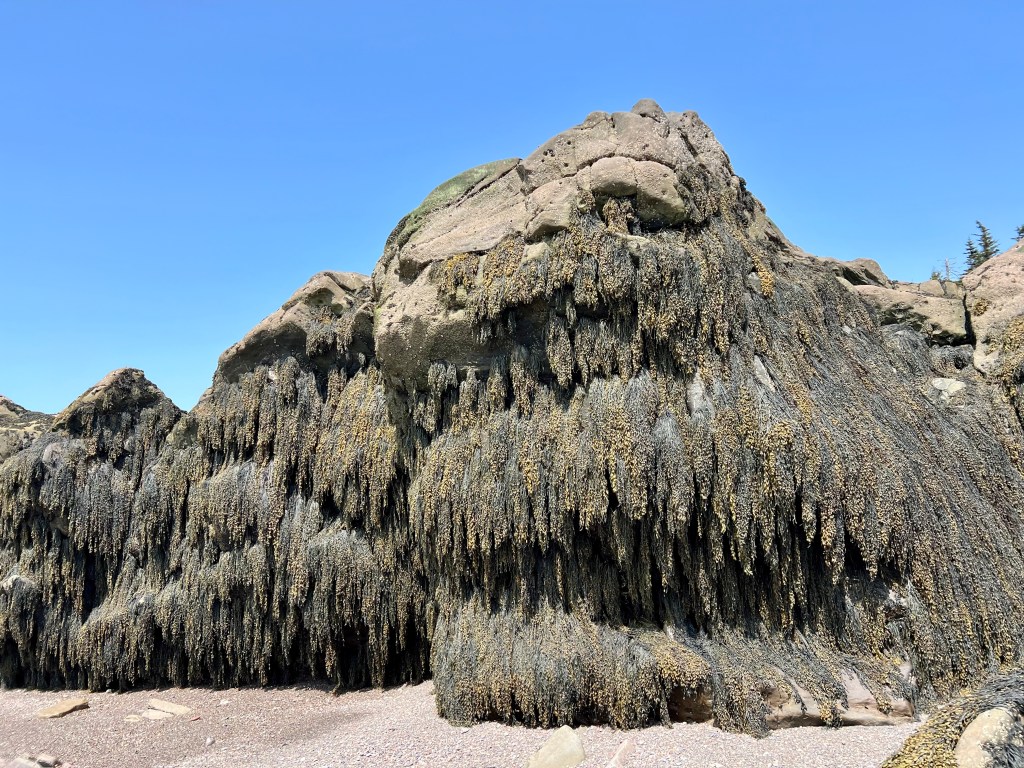
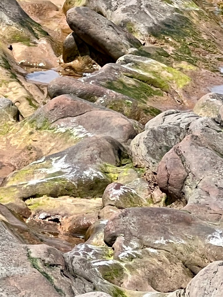
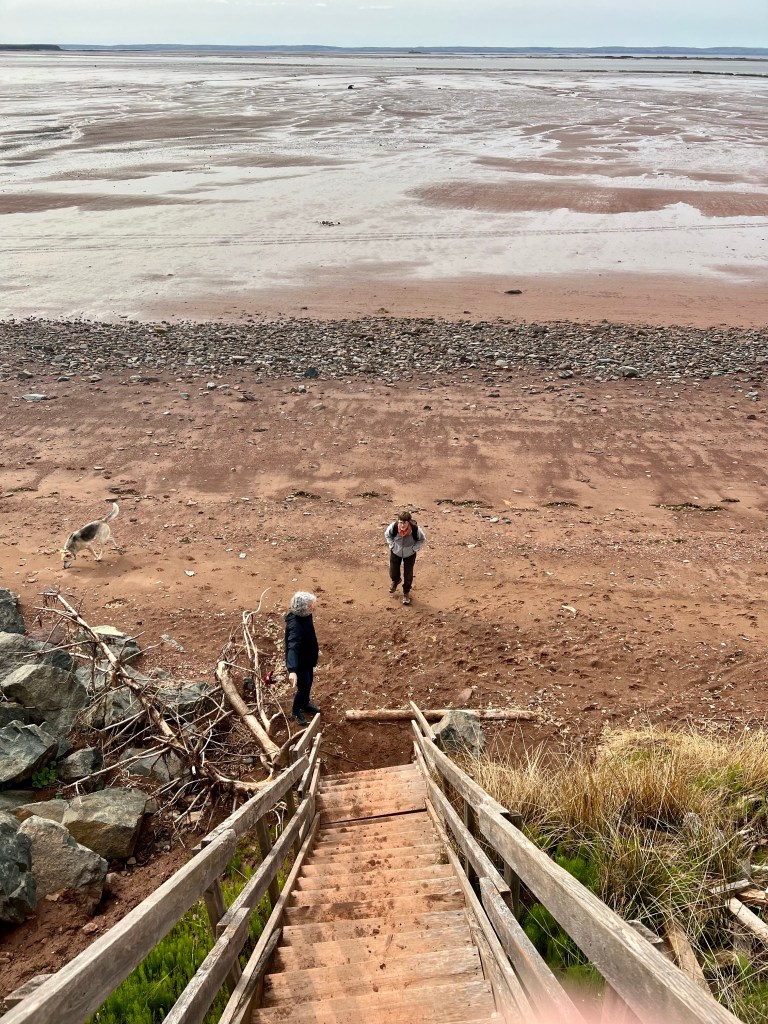
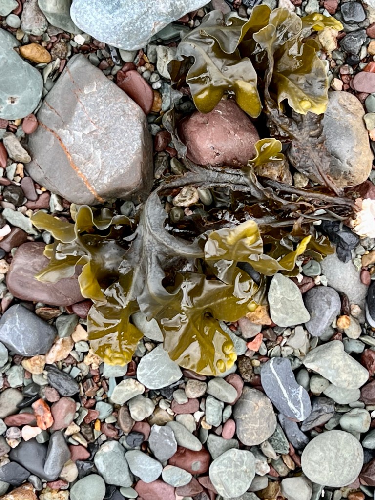
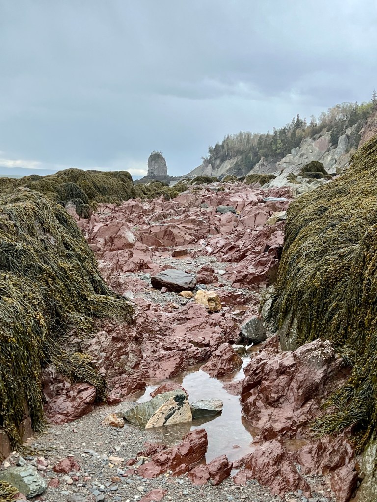
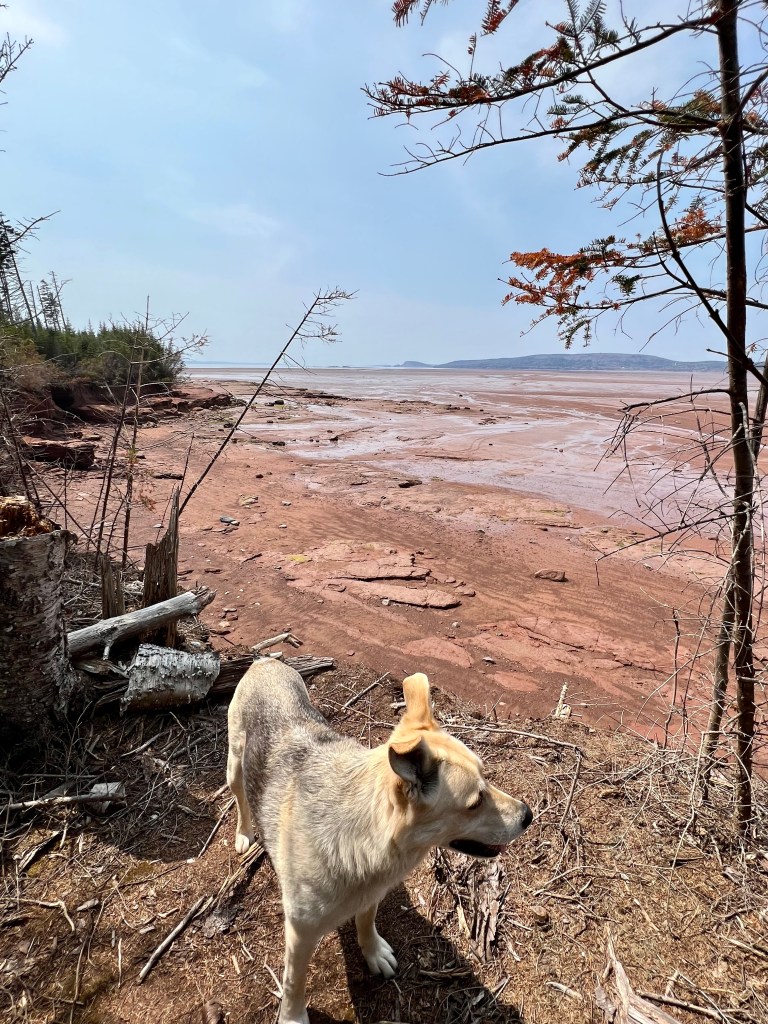
Besides my first aid kit and plenty of water I like to leave a bit of room in my backpack for my sense of adventure. Today’s beach excursion was timed carefully to see how long we would have to get past the large seaweed covered rocks on the east side of FoxPoint Beach, explore the beach leading toward Diligent River beach and get back before the tide cuts us off.
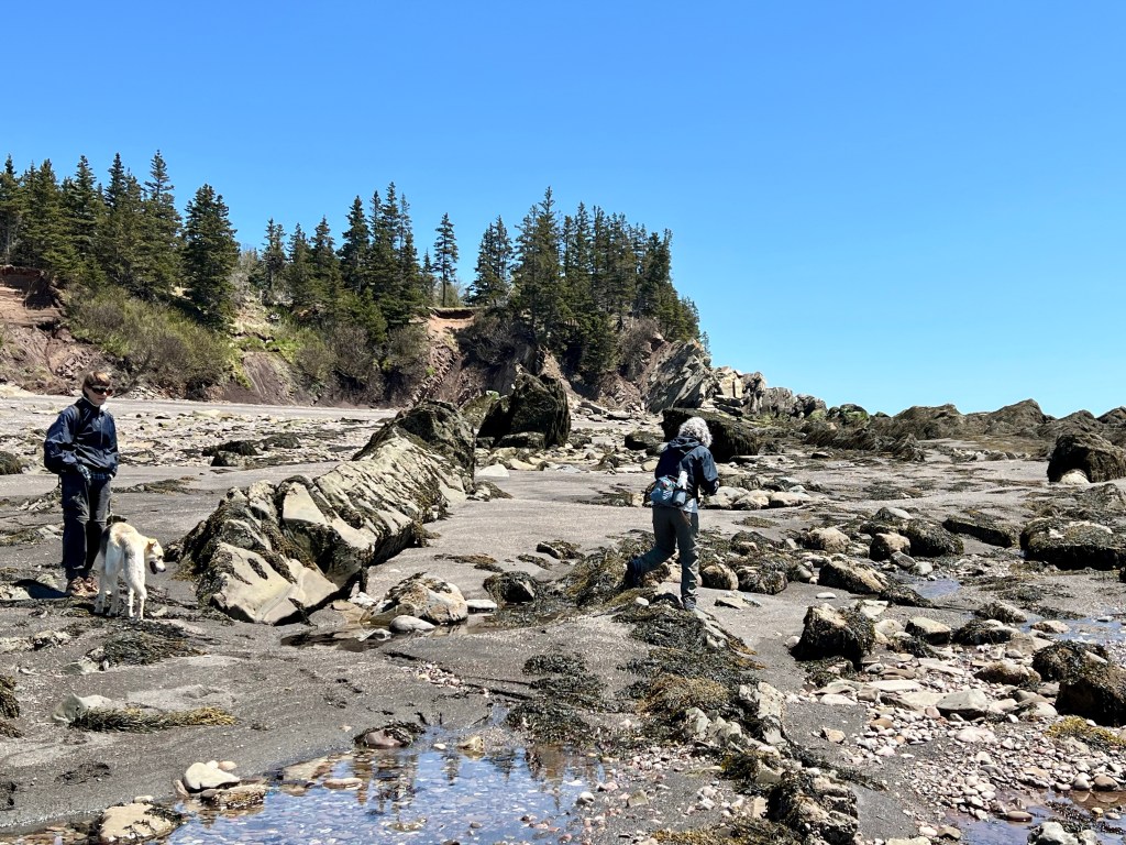


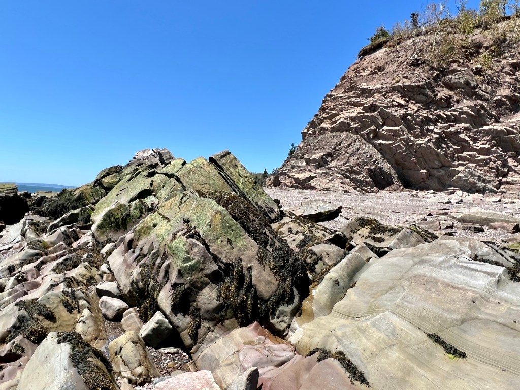
Our departure was a bit delayed and we arrived at the beach eight minutes before low tide. We are currently in a phase where we don’t have extreme low tides and that became apparent as we navigated our way between the rocks trying to find a relatively safe route past the looming seaweed boulders.


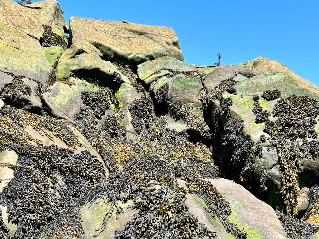
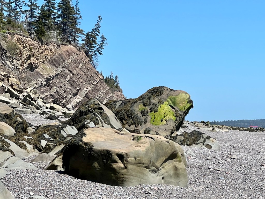
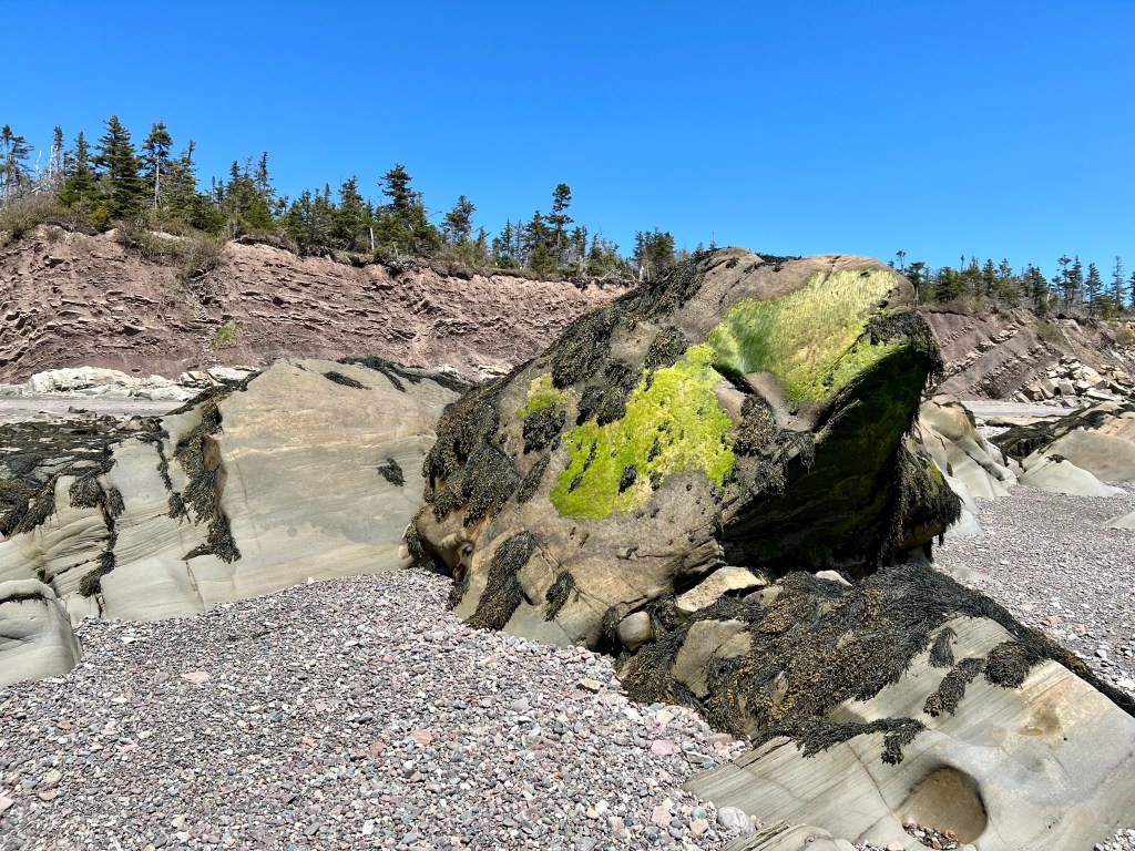
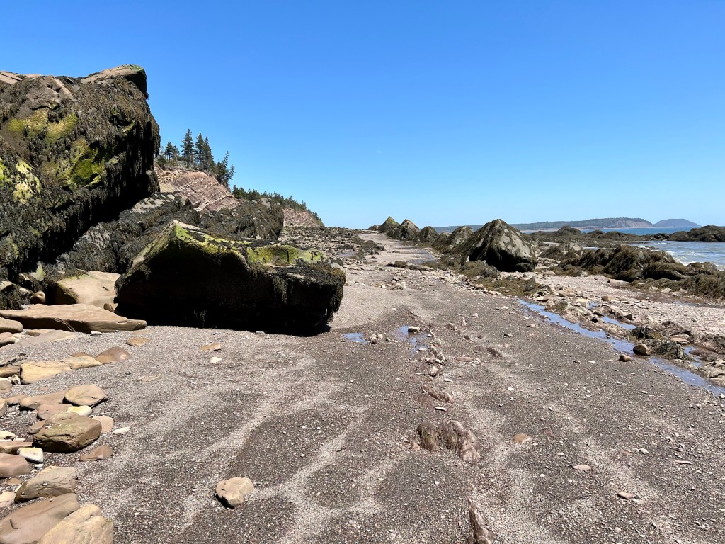


What awaited us beyond our usual turn around point was breath-taking! The rocky beach was a bit challenging to walk on but our hiking boots stood up well. We kept an eye on the clock and managed to return to the estimated pinch point just in time. Our window was exactly 90 minutes.
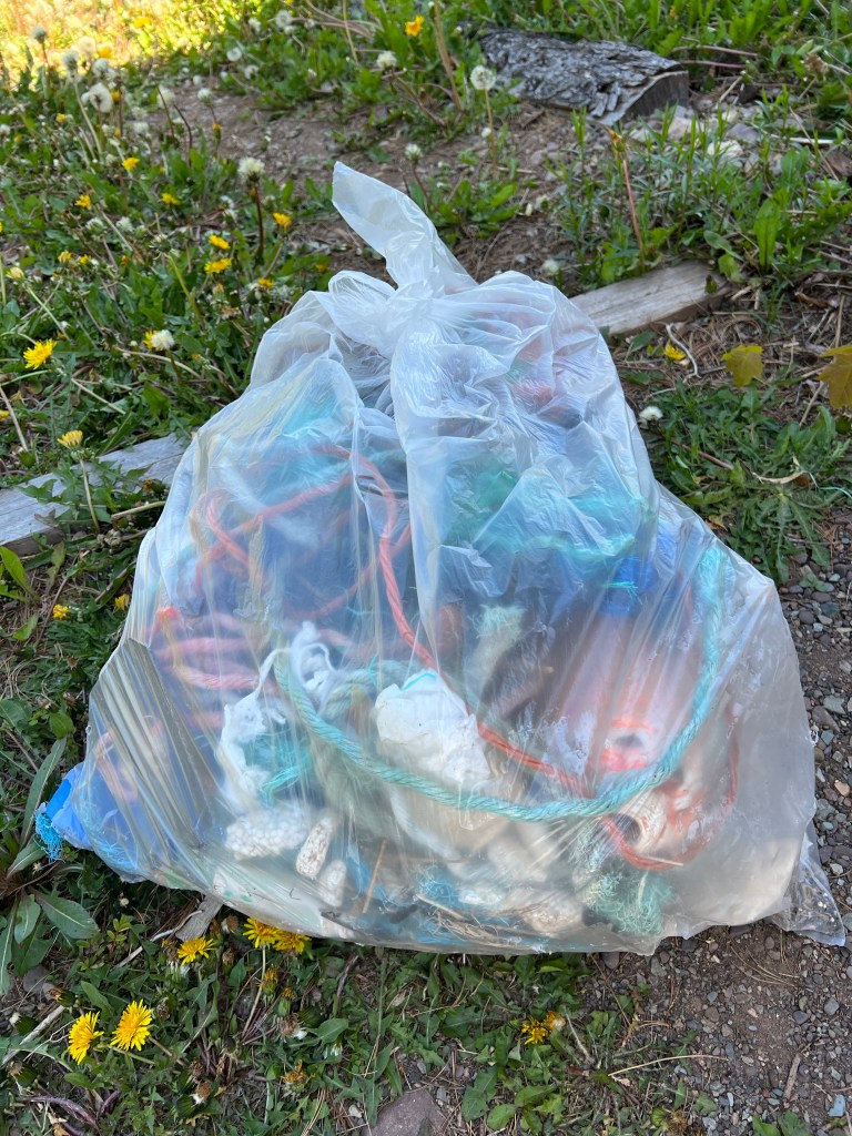
On the way back to the car we managed to pick up 17 lbs of beach trash. it always feels good when you know that you left the beach a little cleaner than when you arrived.
Wishing you all a weekend filled with sunshine! Cheers, Anna

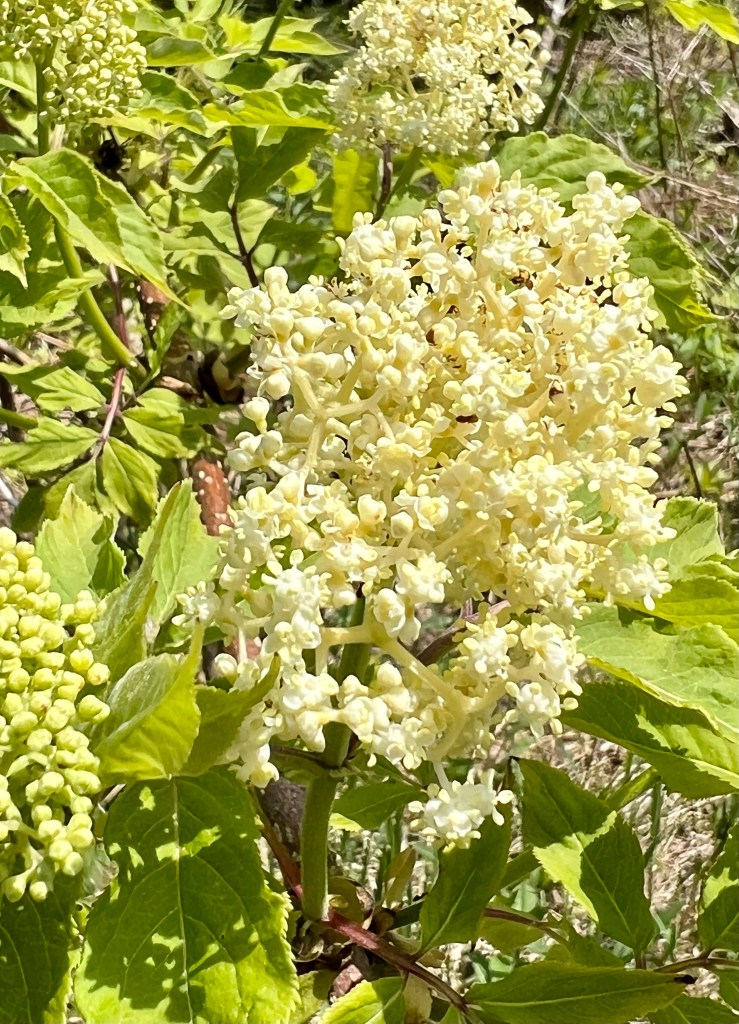
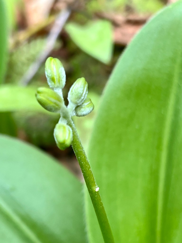
…anticipating full blossoms. All we need is a sunny day. Happy Friday, everyone!

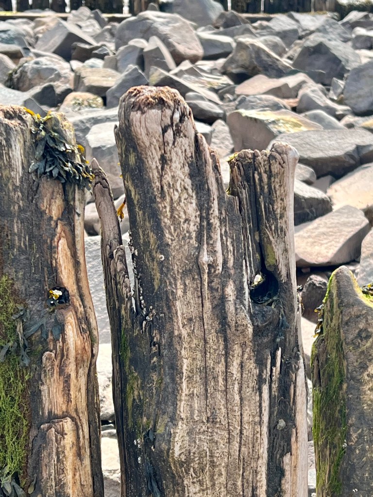
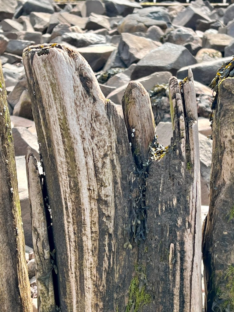


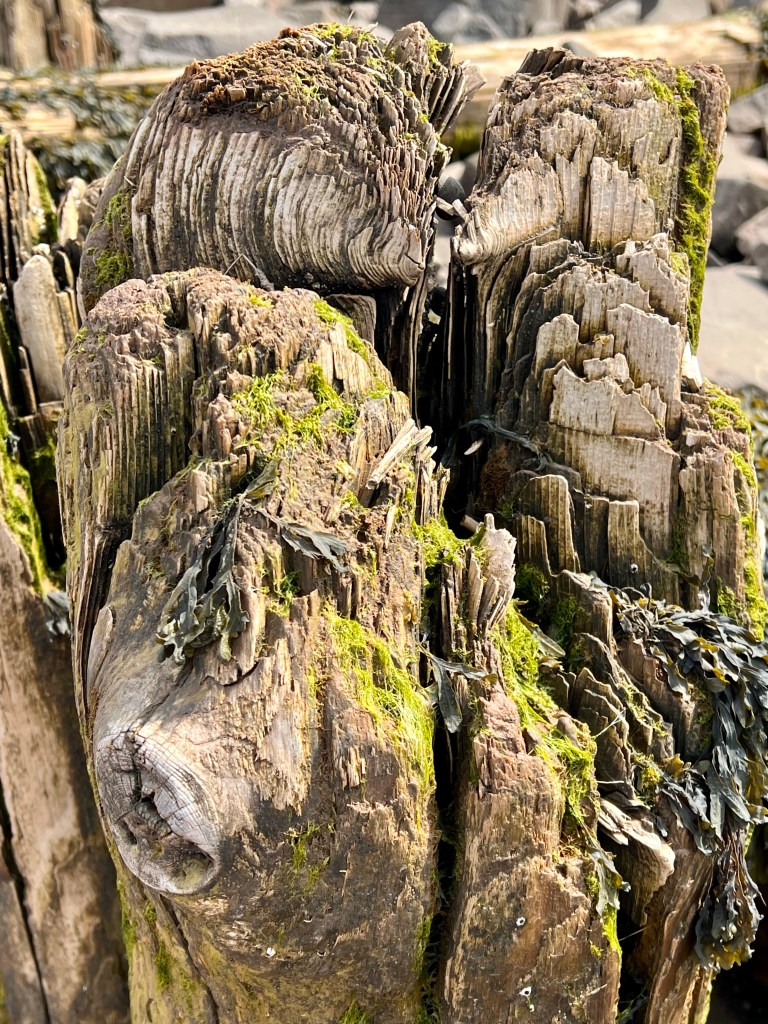


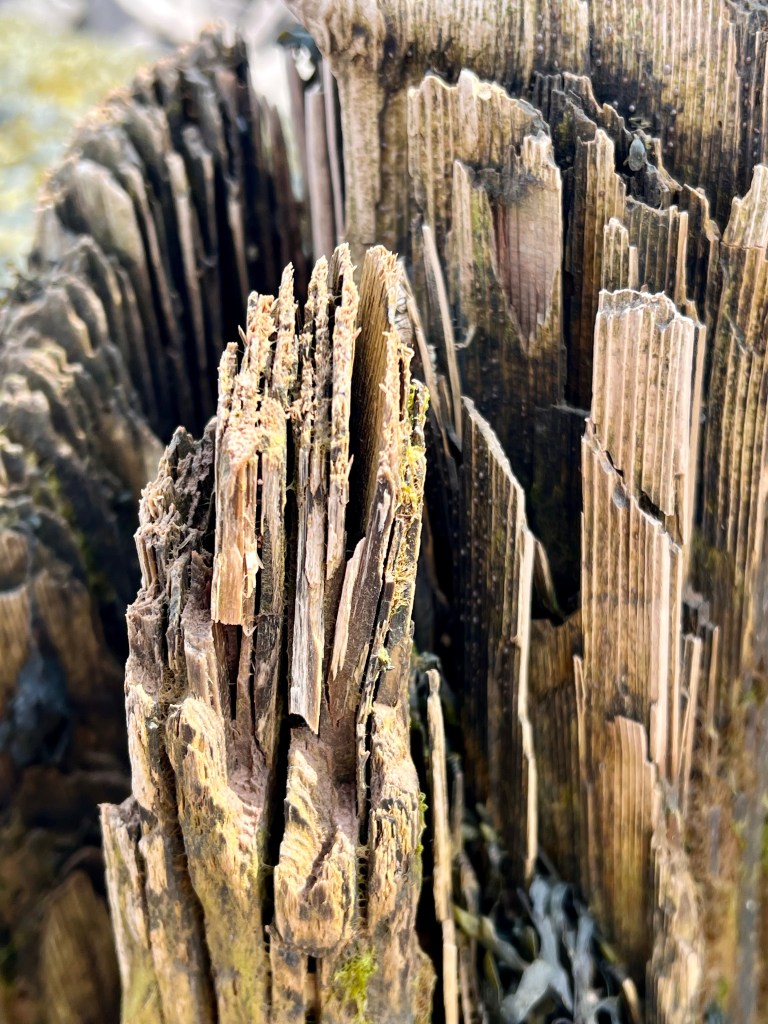

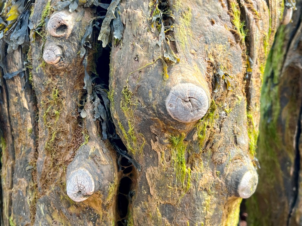
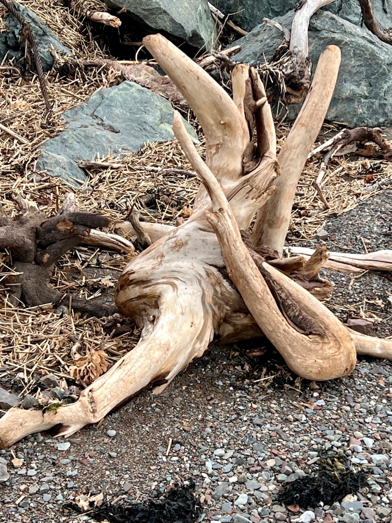
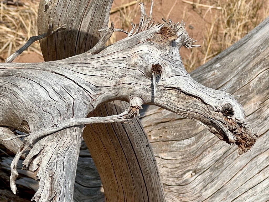
I love roaming the beaches, especially when I come across old warf remnants weathered by wind, sun and the relentless tides. These amazing natural sculptures are found at the mouth of the Bass River. Imagine the stories these posts could tell!
Happy Thursday, Anna
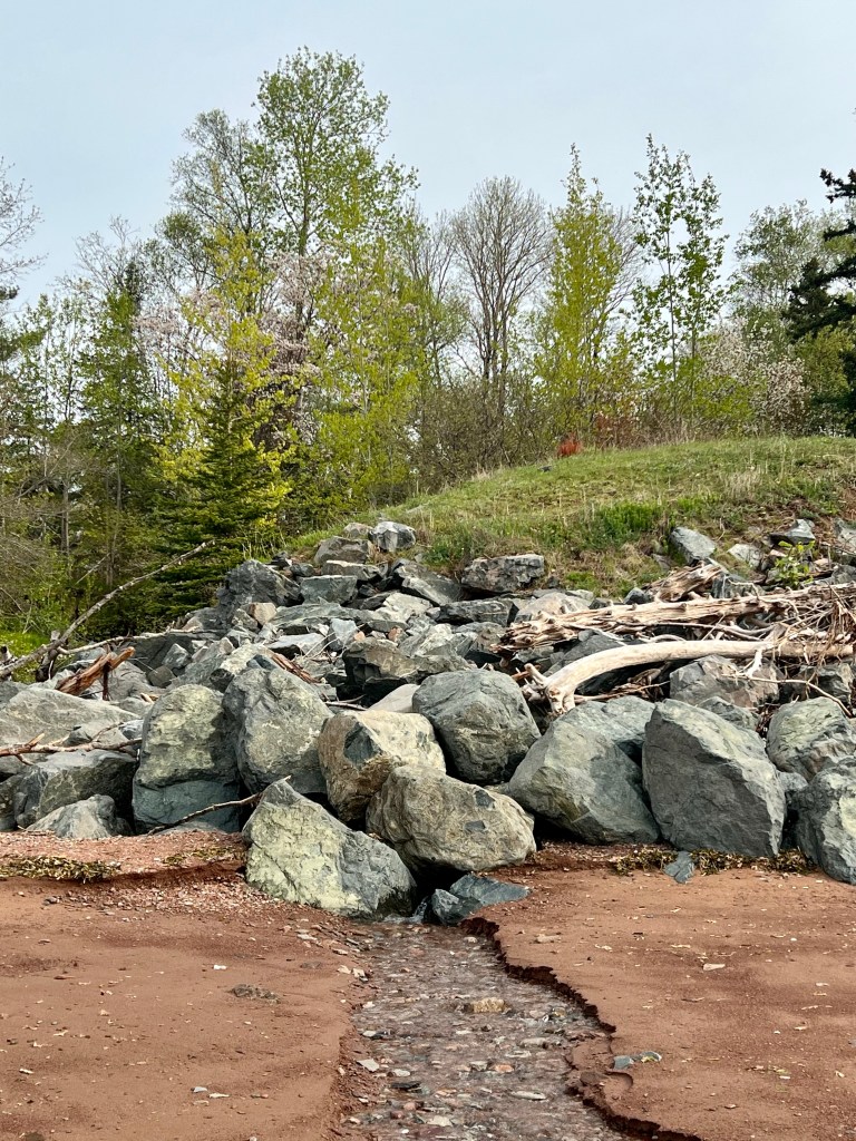
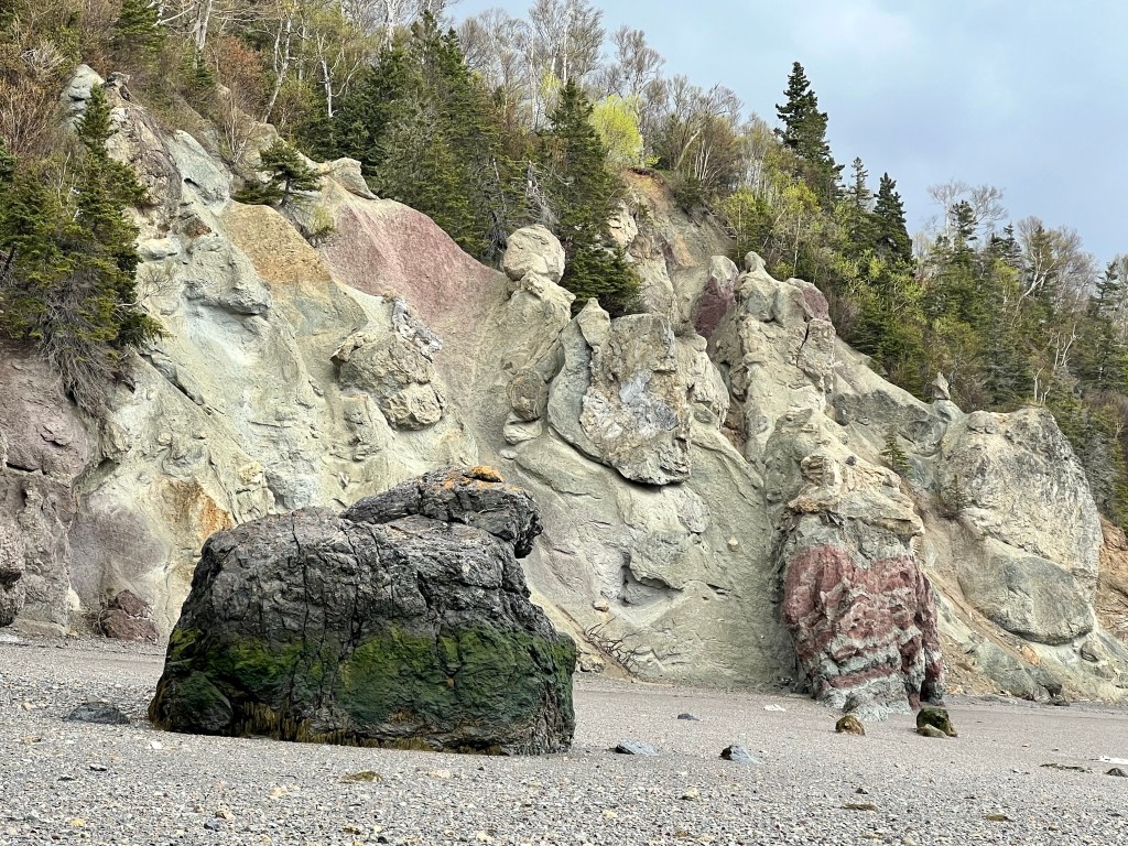
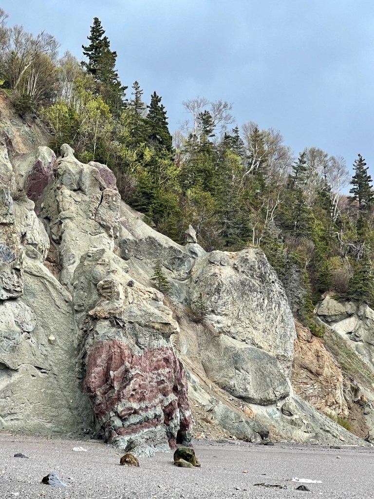
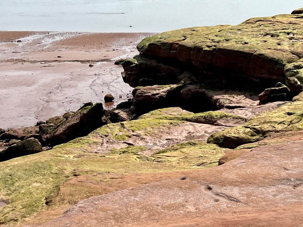
The parking area overlooking Fox Point Beach is just large enough for three or four vehicles. A short walk through a forested area takes us to this vast and diverse beach.


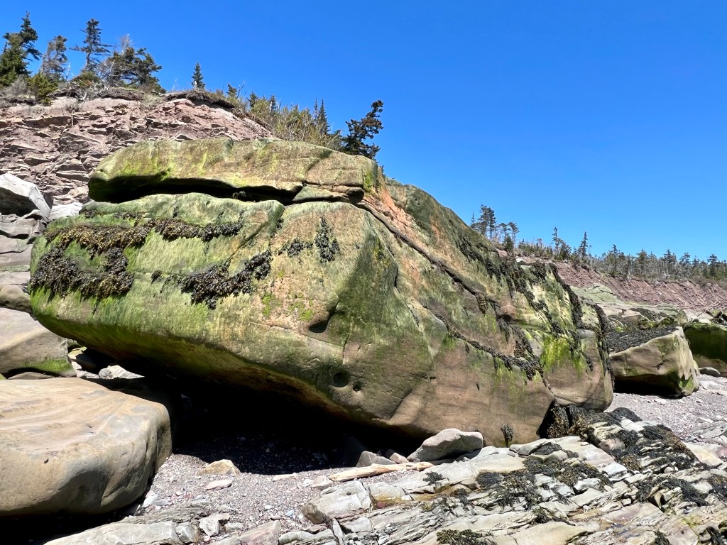
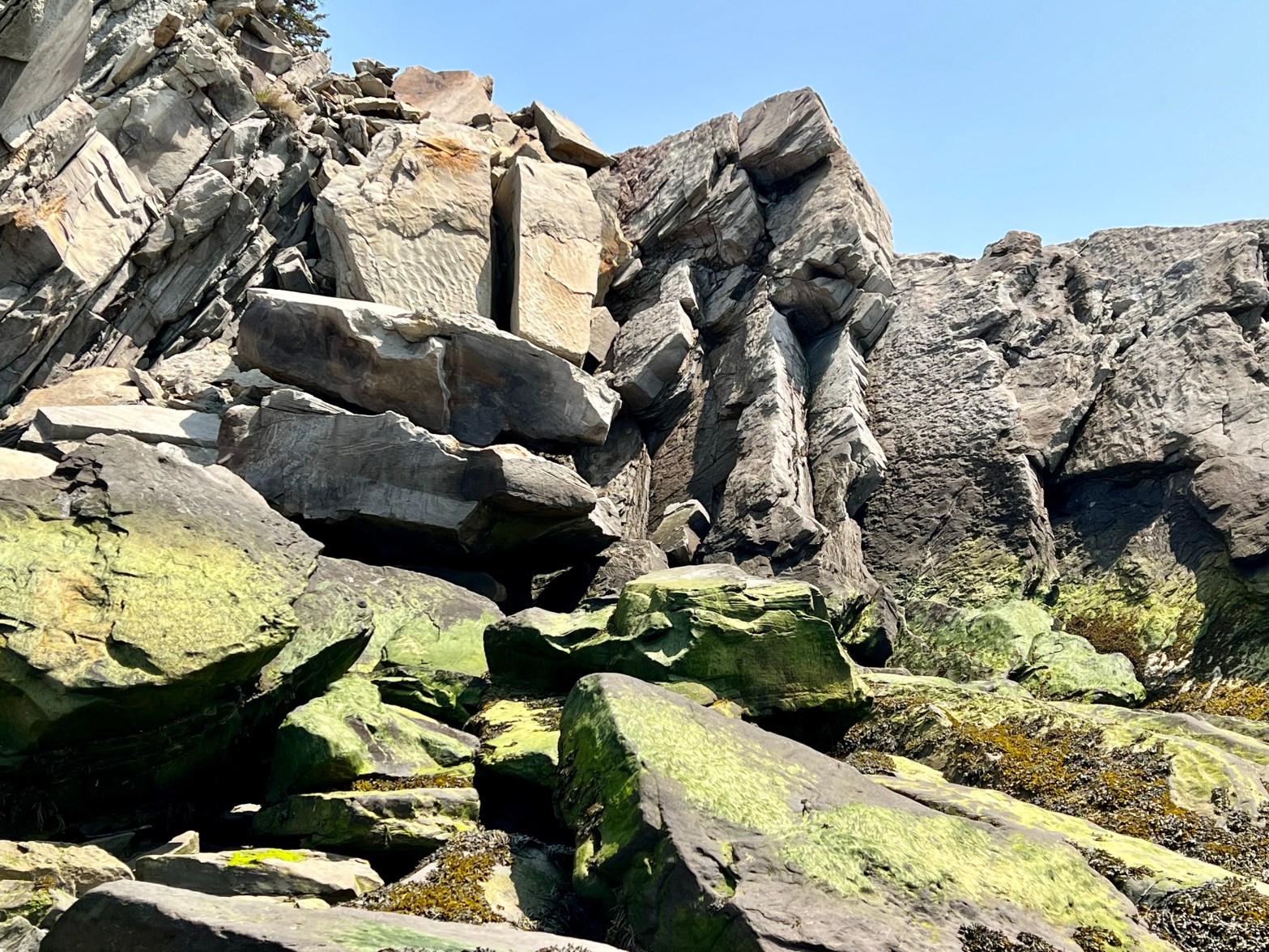
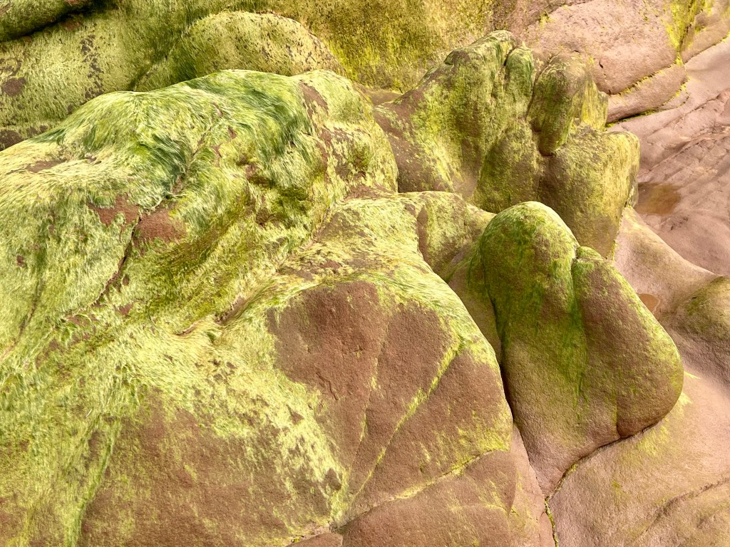
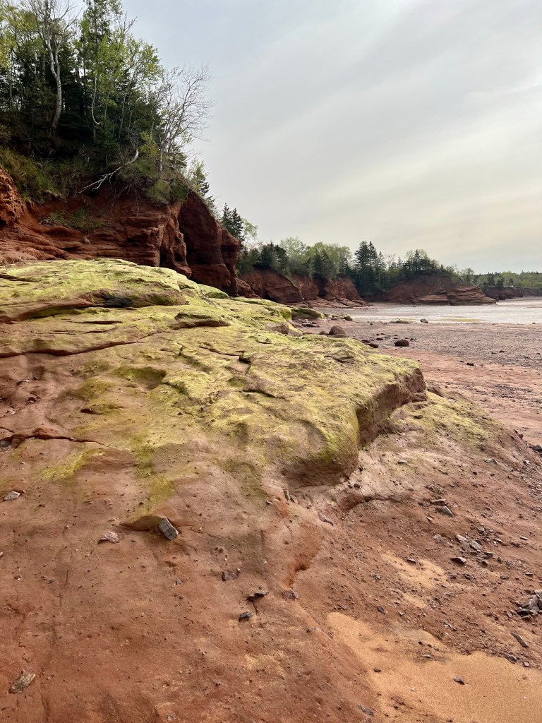
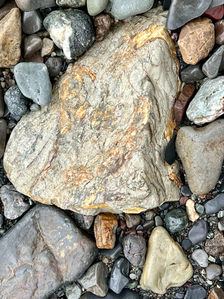
I always love exploring this beach. The first time I came was early April 2021. I was fascinated by the cliffs, rock formations, seaweed covered boulders and the unique colouring of the rock faces. Shortly after my first visit I found out that Andy Goldsworthy had visited and worked on this particular beach several years ago. Andy Goldsworthy is an internationally respected and well-known sculptor, photographer and artist. If you don’t know of him, google his name. I promise you: You will not be disappointed!


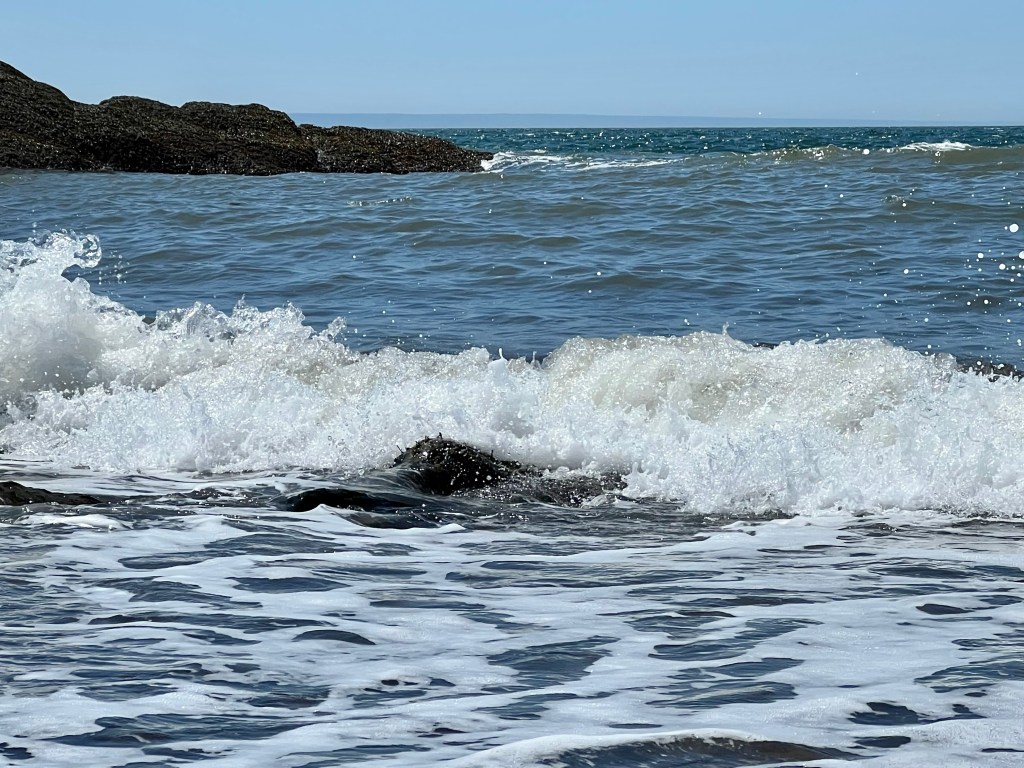
The tide was slowly moving in. It’s always such a tranquil time watching and listening to the waves.
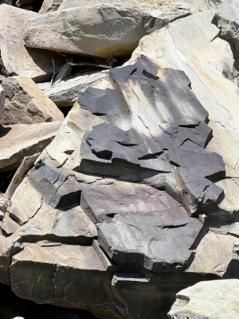
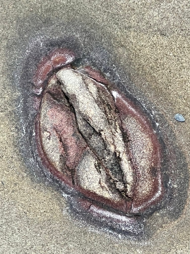
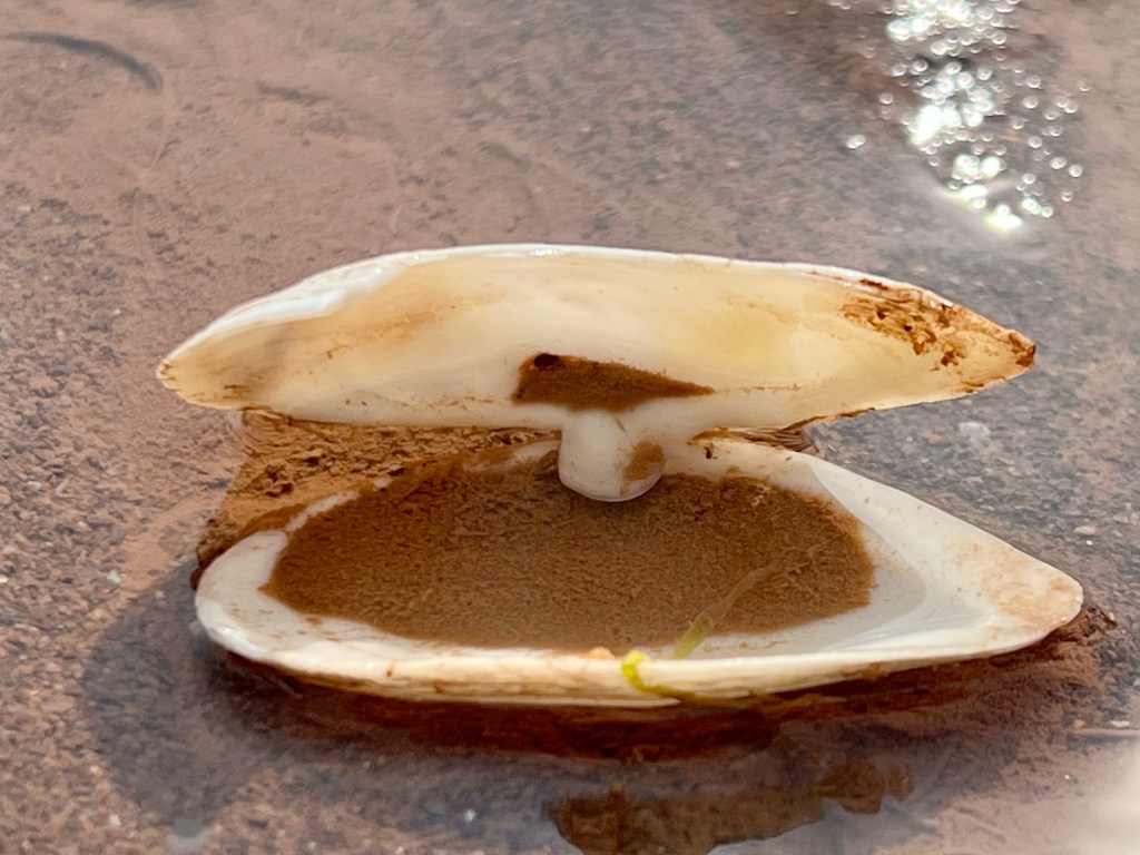
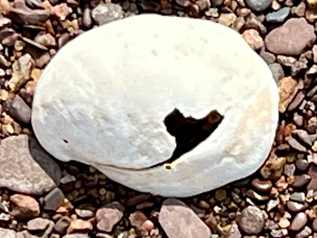
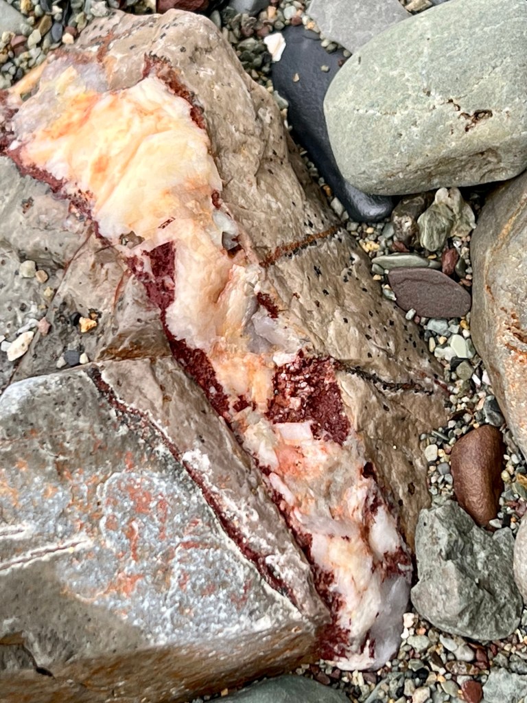
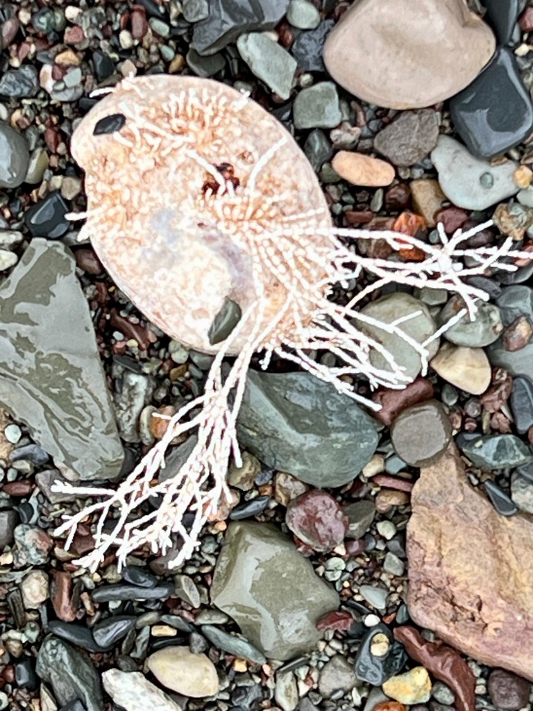
Each beach offers amazing details, all one has to do is look a little closer…


Thanks for checking my blog entry today. It is a pleasure to share my impressions!
Interested in your personal photo expedition? Book a guided tour and I will start planning. Happy Wednesday, Anna


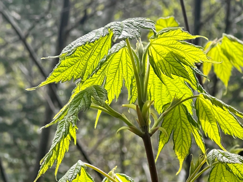
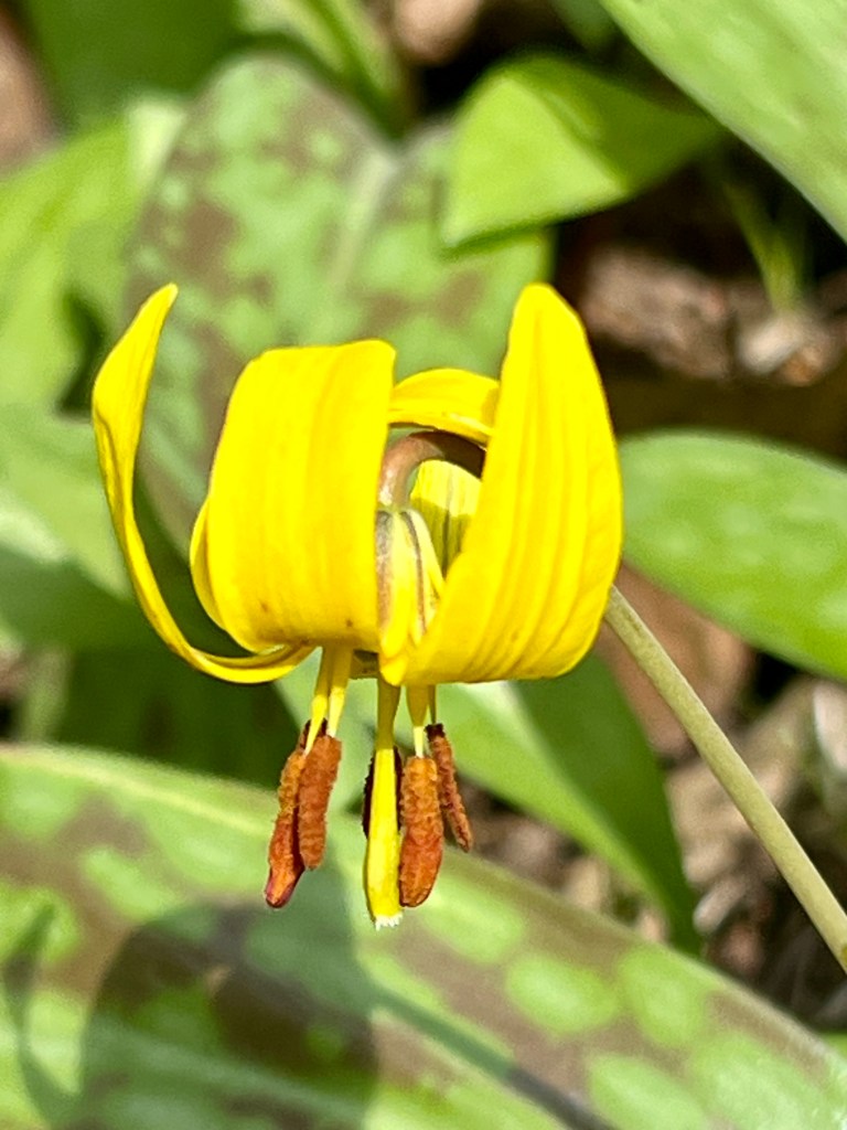
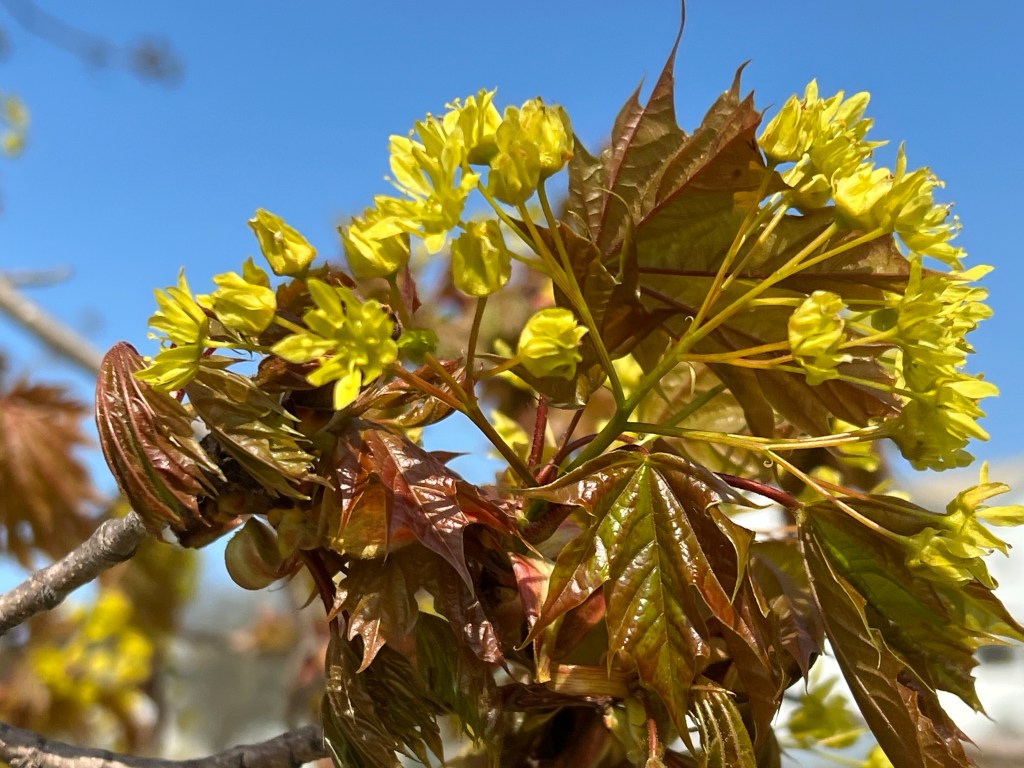
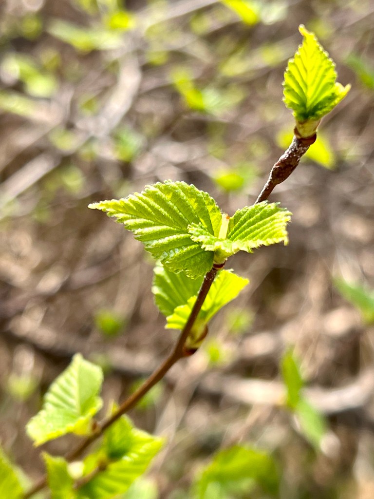
… through delicate maple leaves in spring.
Enjoy! Best wishes, Anna

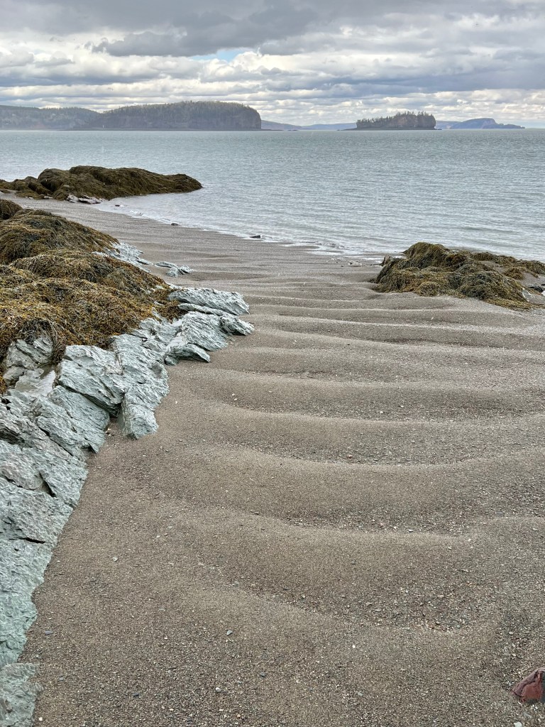
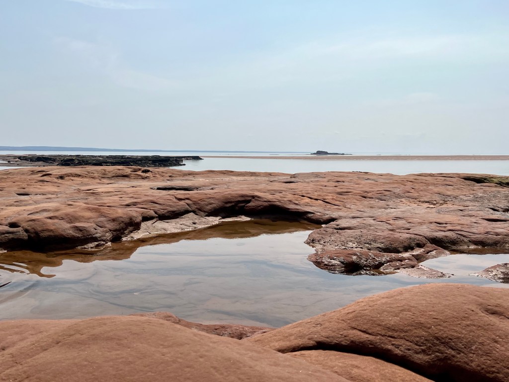
Soley Cove has become a go-to destination, best explored during the low tide window!


It was perfect beach walk weather, not too hot, a little ubreeze and the tide just about to turn.

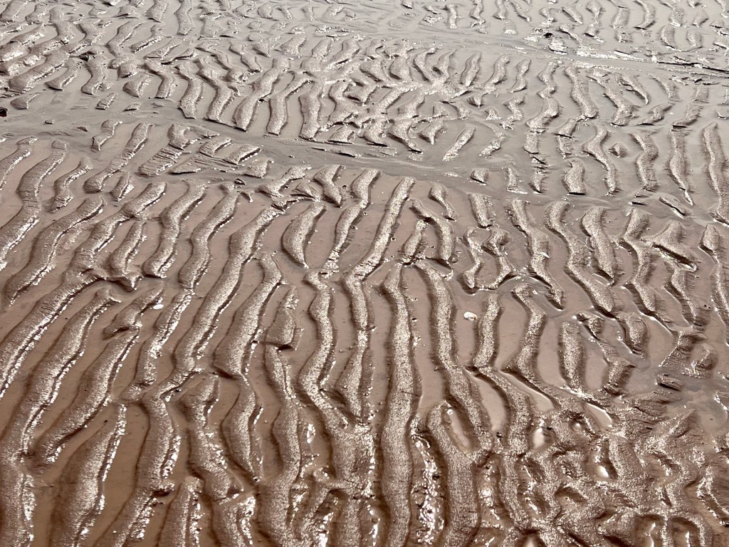


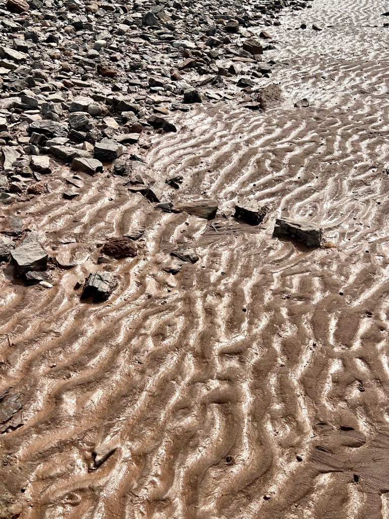


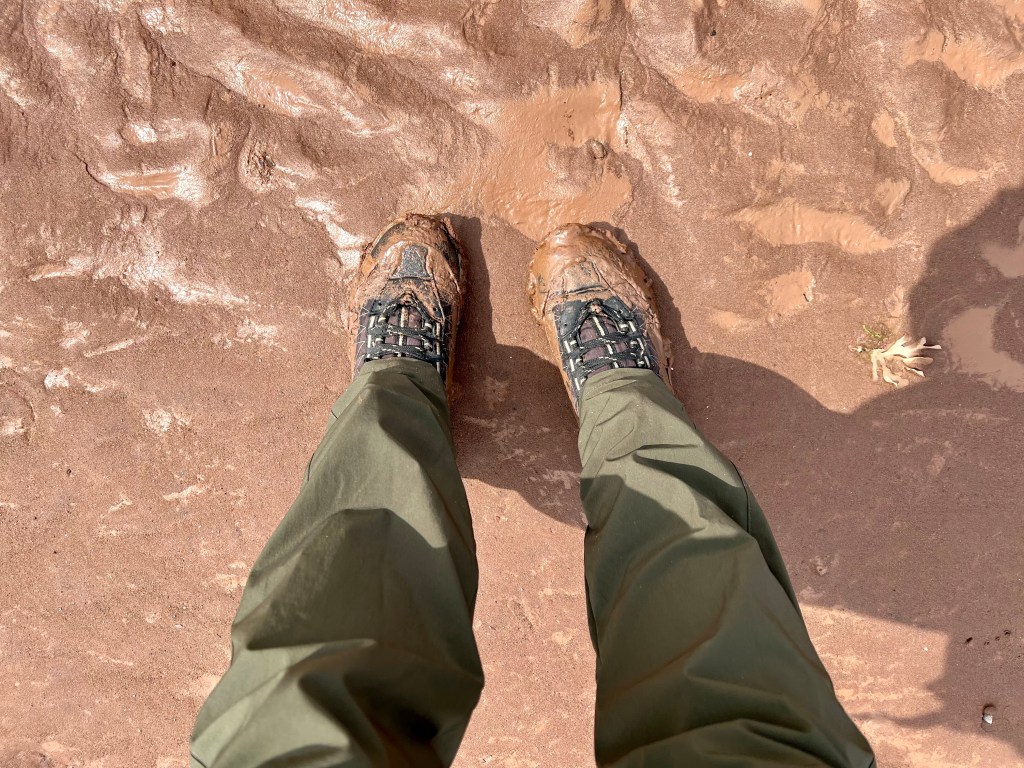
The decision to walk out on the muddy ocean floor might not have been the smartest… but you live and you learn😊
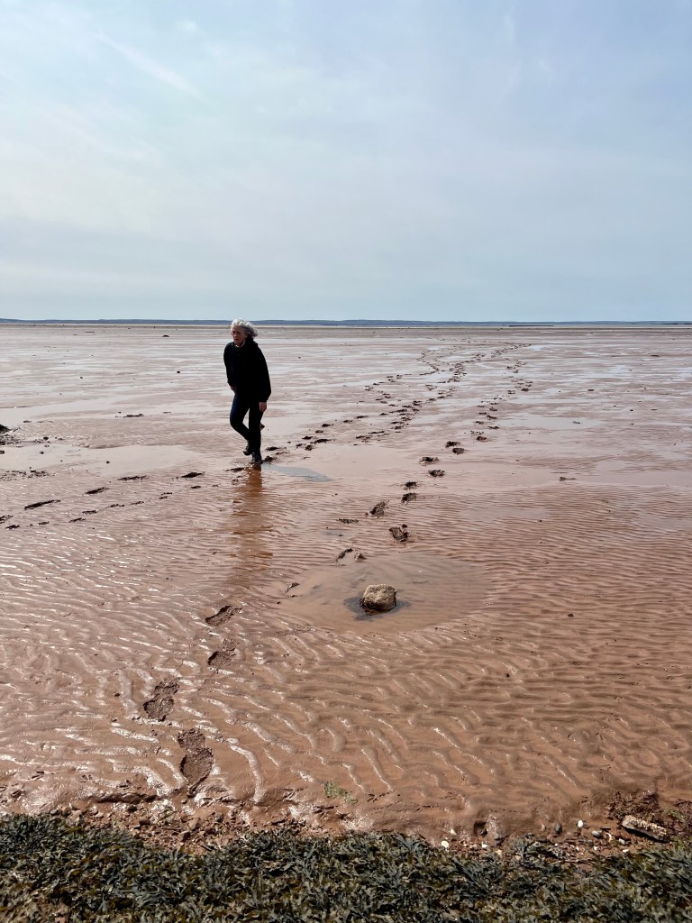

Two and a half hours of exploring a vast beach, perfection!

Happy long weekend Monday, everyone!
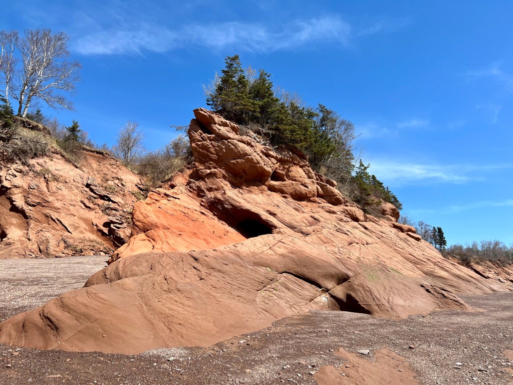
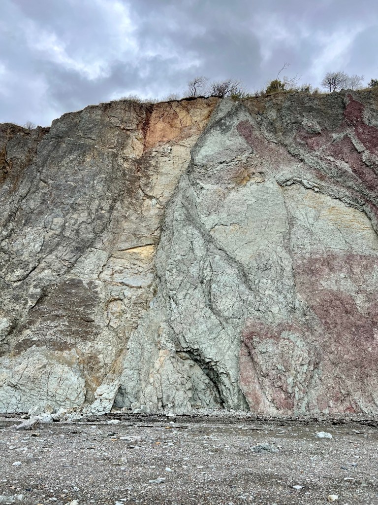
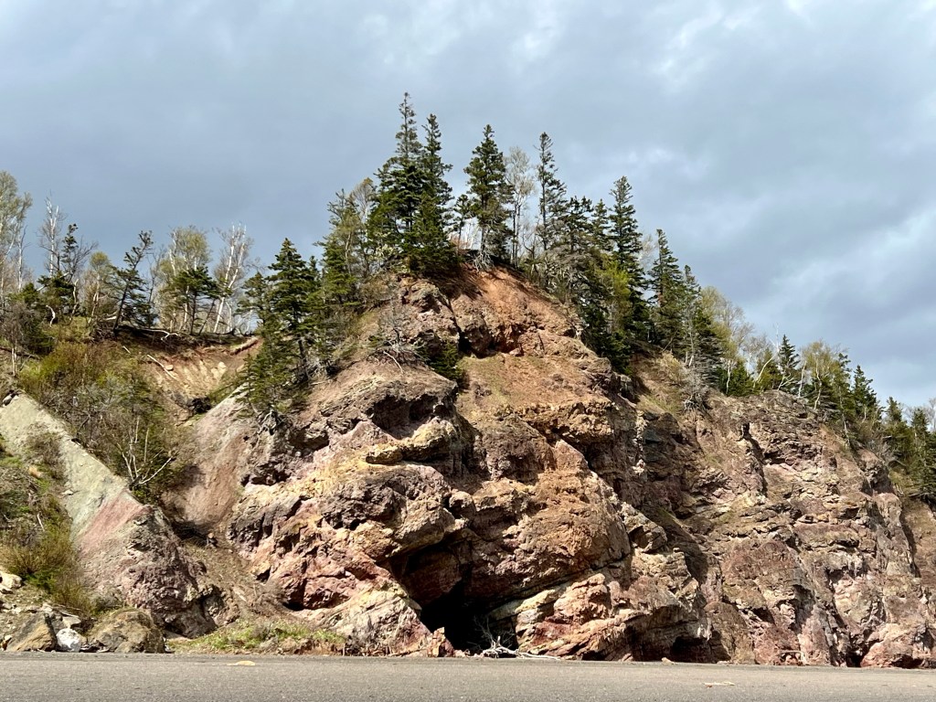
With the rain today it was time to spend some downtime planning… heading out early tomorrow for a beach excursion. Can’t wait to compare this cliff image with tomorrow’s. Based on past experiences the sandstone will be saturated with moisture and present even more vivid colours… check back tomorrow to see if I am correct.


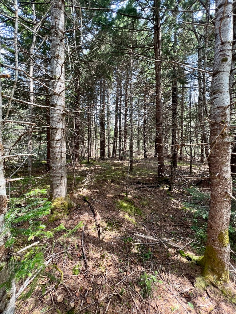
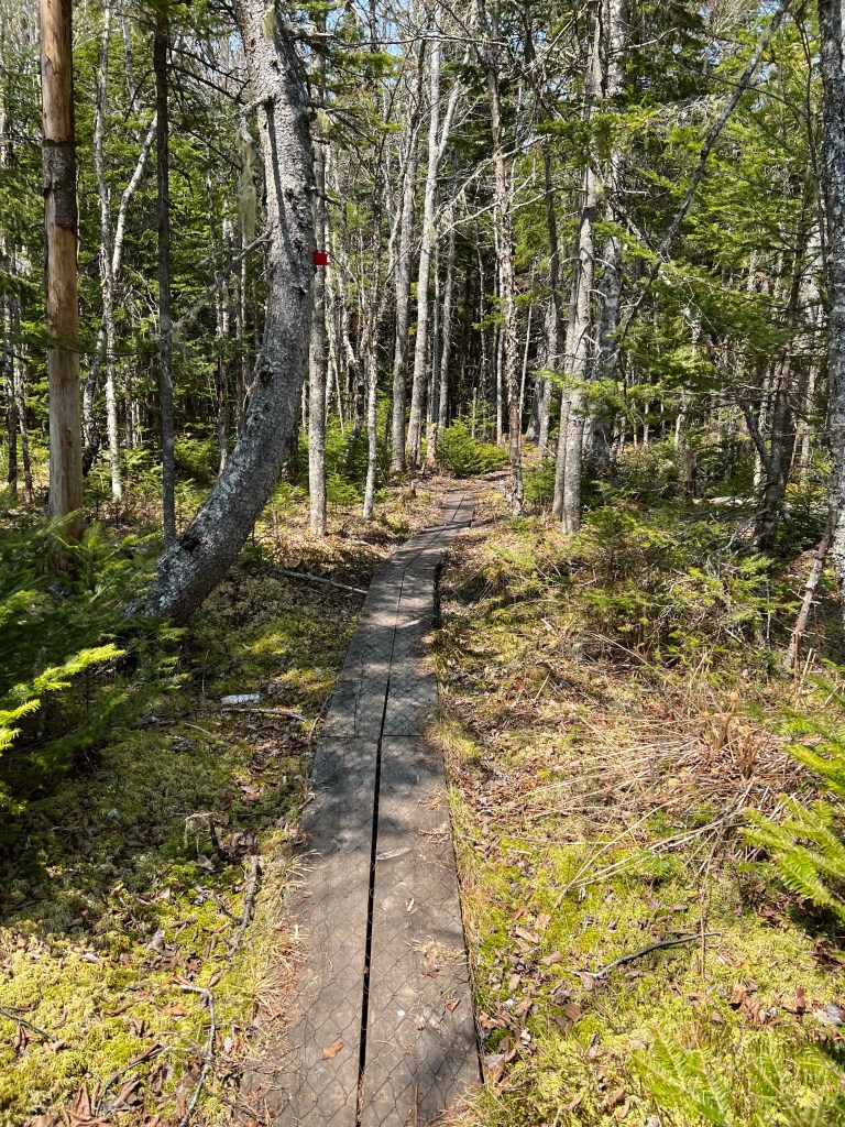
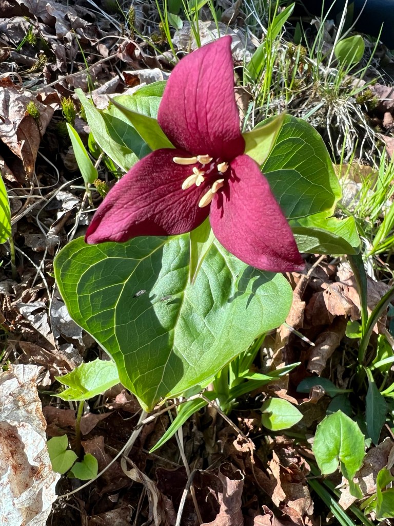
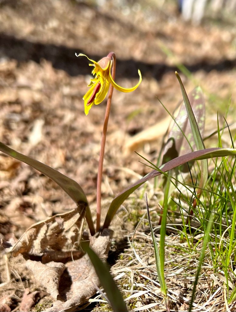
The forest and waterfall were calling today… Wards Falls is always a great destination. My focus today was on contrasting and comparing the various stages of wildflowers and emergence of foliage.


The woodland trail was almost dried up reminding us of how much we need moisture to keep wildfires at bay.
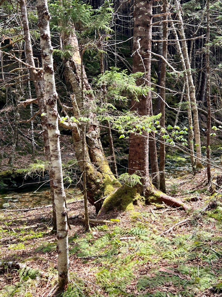

This will be the last time this spring to explore this popular hike. The black flies are out in full force. Just look at the video I took of the falls… can you see the pesky black flies circling around me?
Make sure you pack your insect repellant (I swear by Atlantiks) and tote in some water. The slot canyon holds the heat and humidity. My friend decided to leave her water bottle in the car. She gladly accepted the extra water I carried in my pack😁.
Here are a few more favourite impressions from our forest bathing experience.


Hope you are enjoying a relaxing long weekend Saturday. Best wishes, Anna


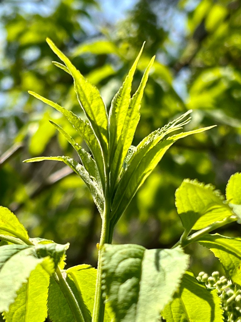
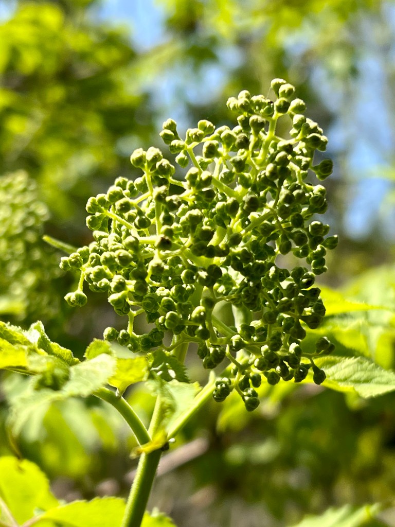
It’s my favourite time of the year when spring is moving toward summer and with each day we witness trees greening up!
Happy long weekend, Anna
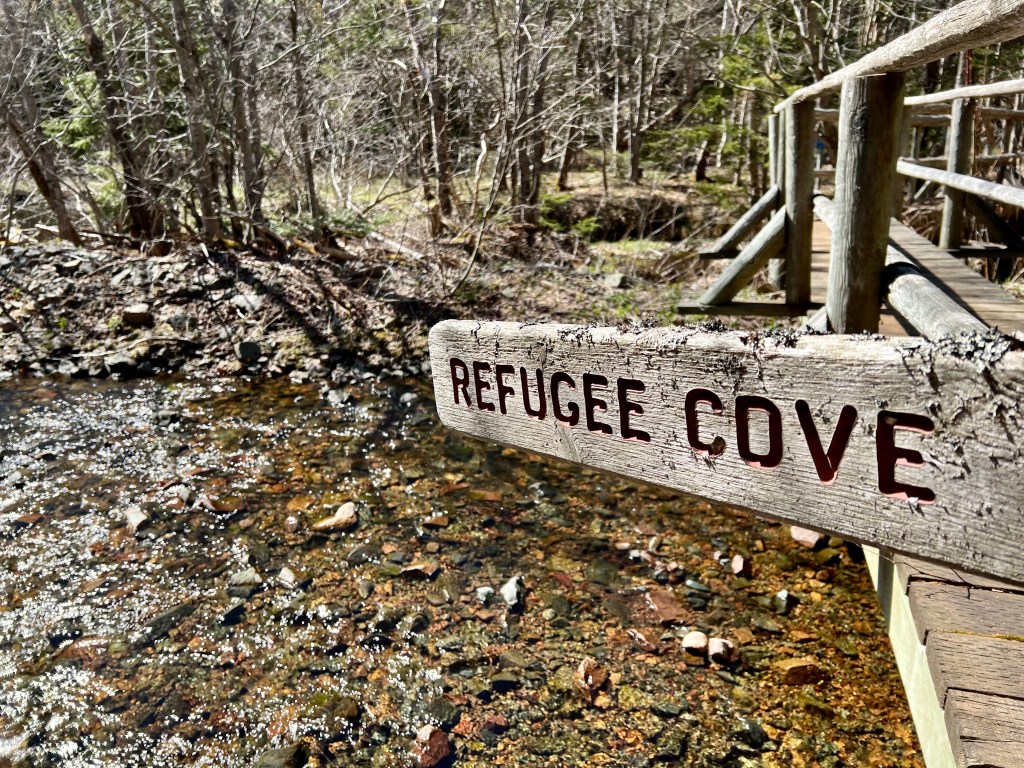
May 18th, 2022 – my first ever hike to Refugee Cove! It was a glorious day, one year ago… I will blame this hike on planting the idea of exploring the Cape Chignecto Coastal Trail. It only took a year to realize my dream and meet my personal goal.

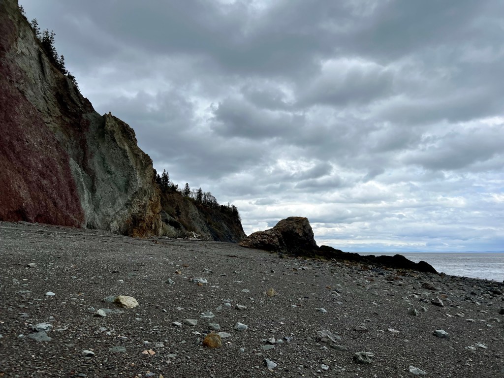


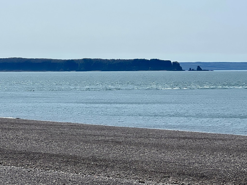
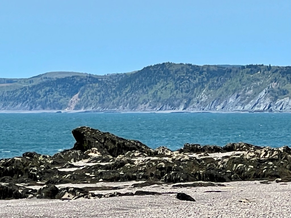
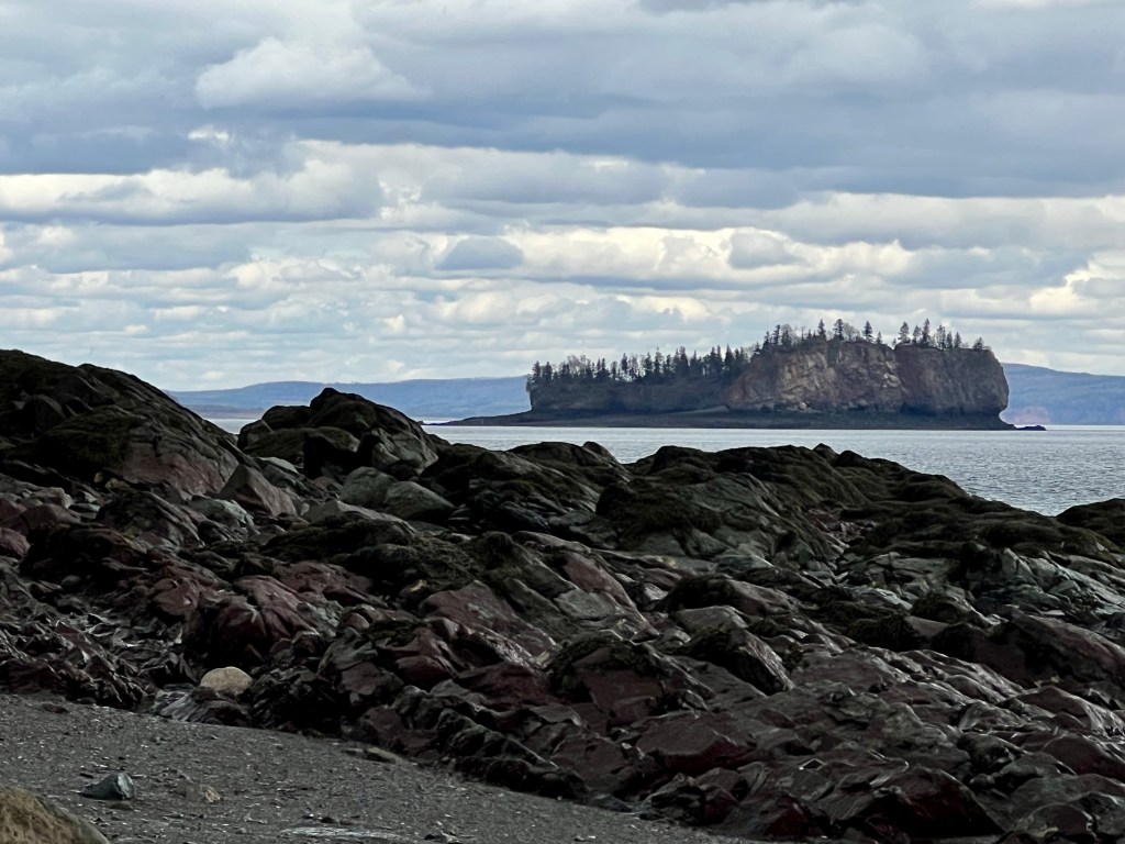
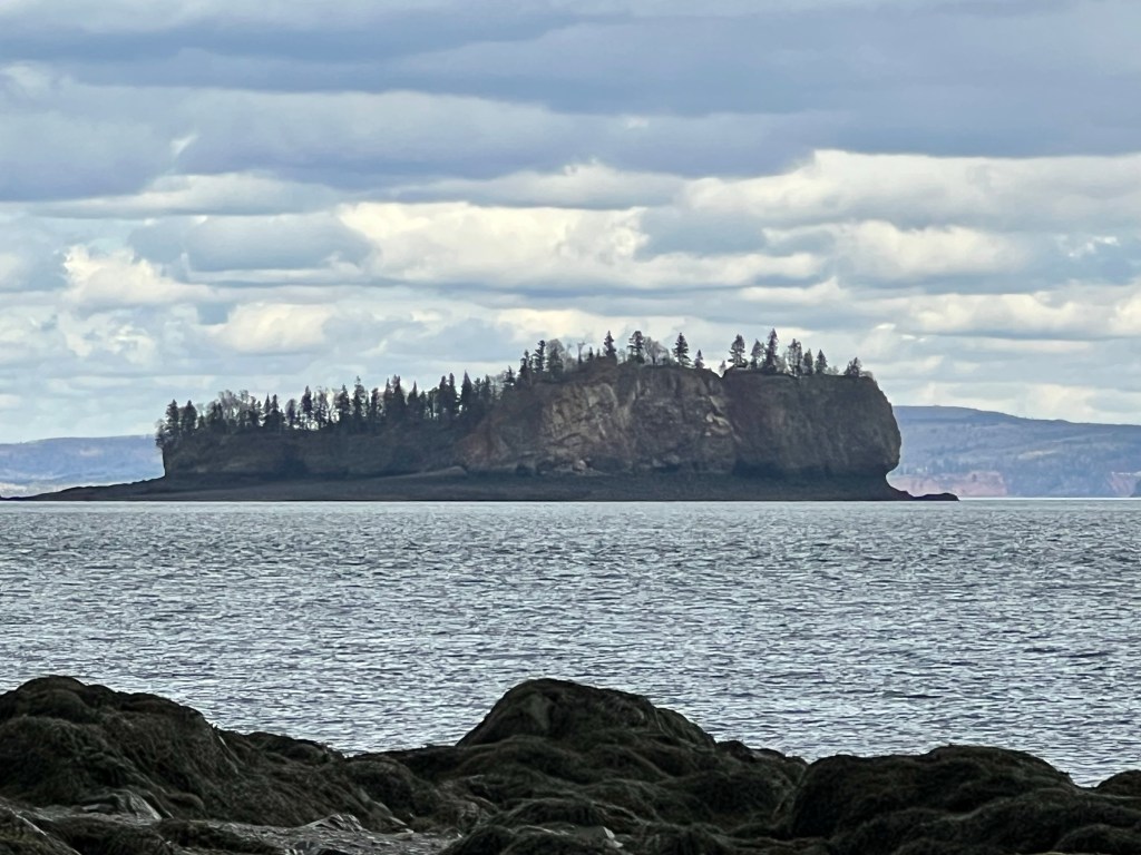
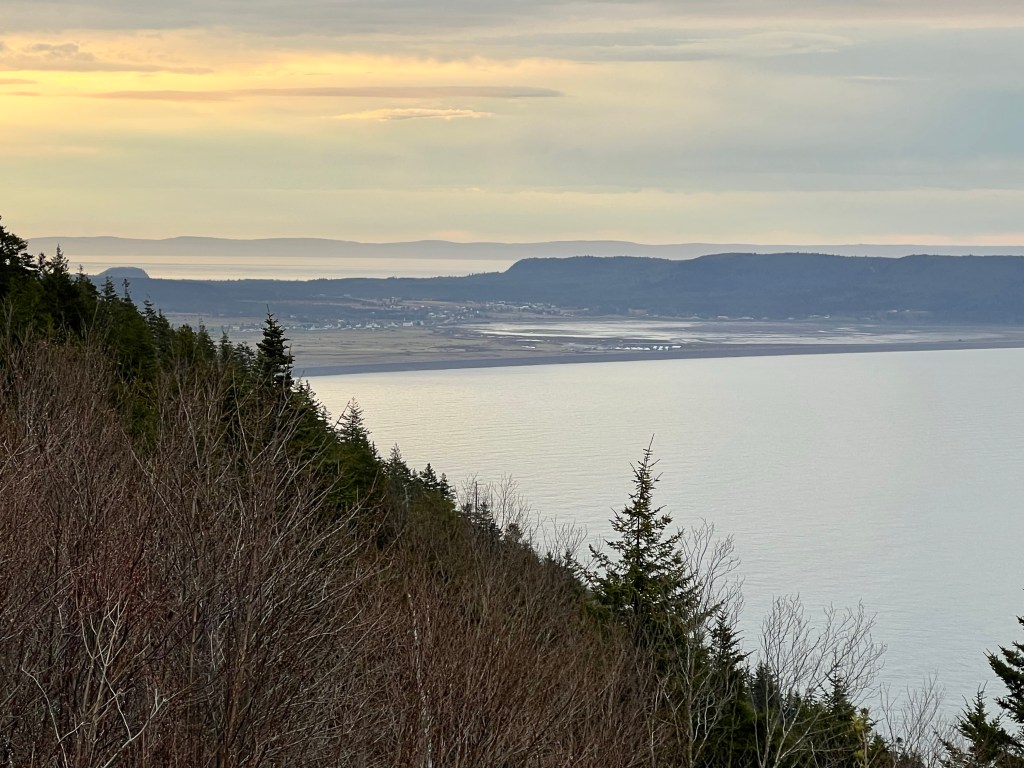
The beach is always more impressive with dramatic skies! Despite the cloud cover the views were impressive with Cape Split clearly visible.

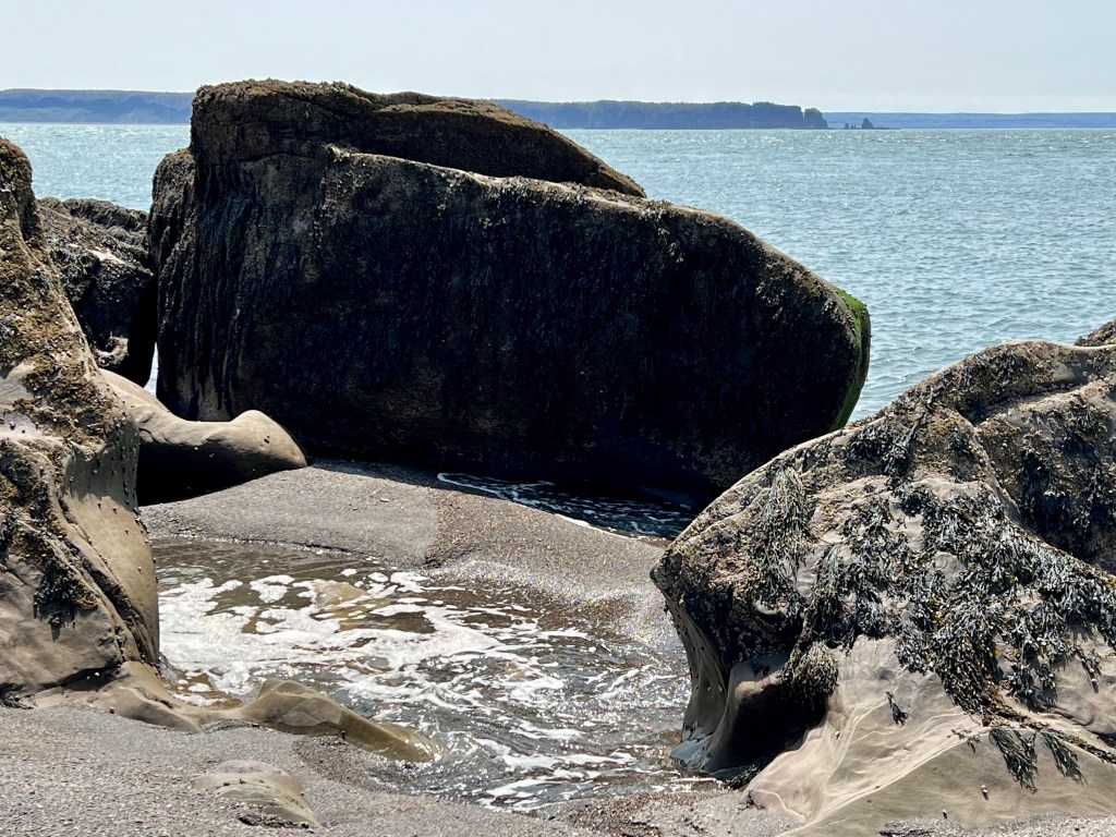
Just as we arrived at Clarke Head arch the clouds burst and we were doused with rain and hail. The moisture intensified the colours of the cliffs and beach rocks even more!
And then the sun broke through the clouds…


Clarke Head – always a great beach hike! And the perfect way to recharge after a busy couple of weeks.
Wishing you all a relaxing Wednesday evening, Anna

… at sunset looking toward Cape Sharp.
Good night, world.


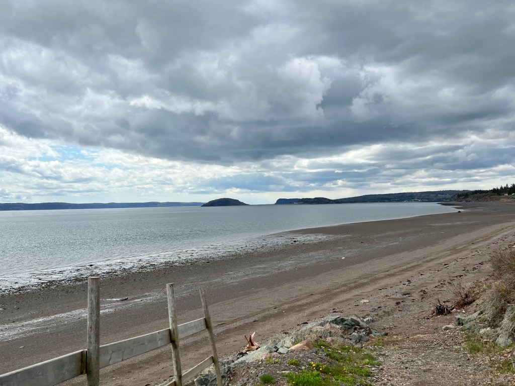
Moody sky, unobstructed view of Five Islands and a vast beach to explore… great ingredients for a photo excursion…
Happy Monday, Anna


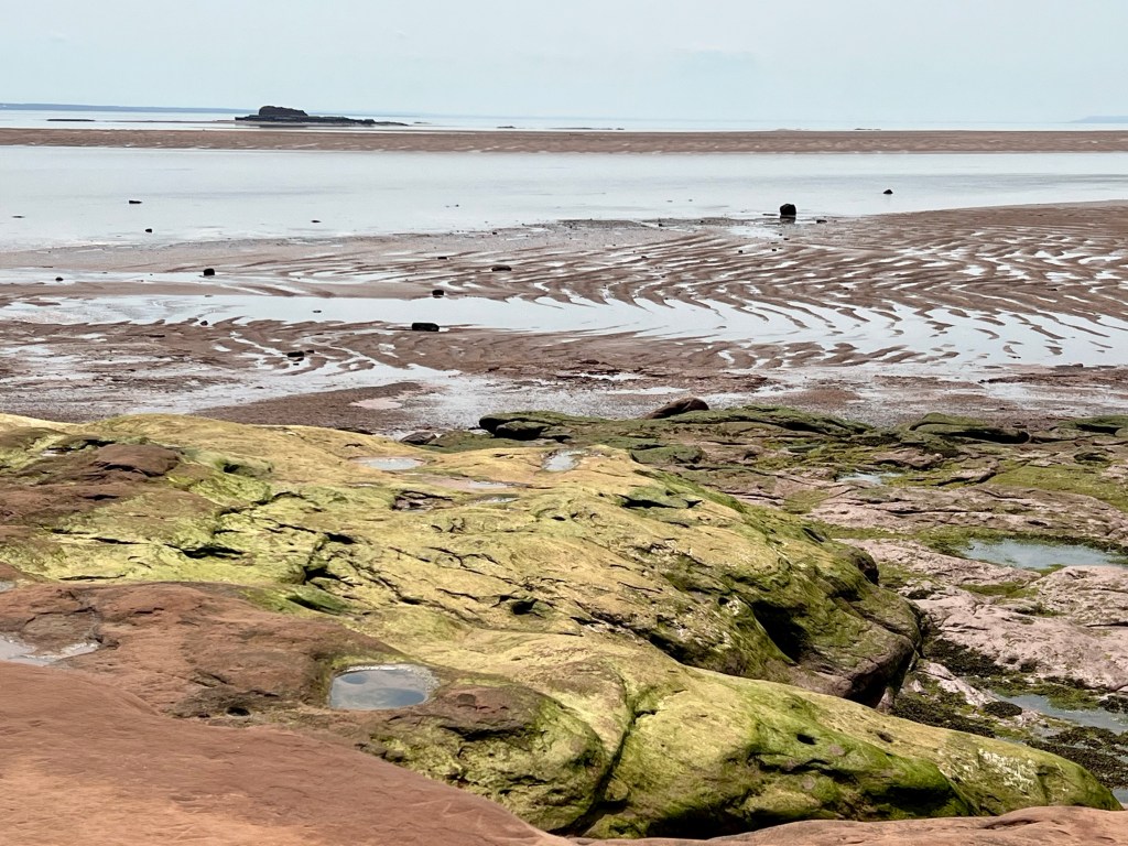
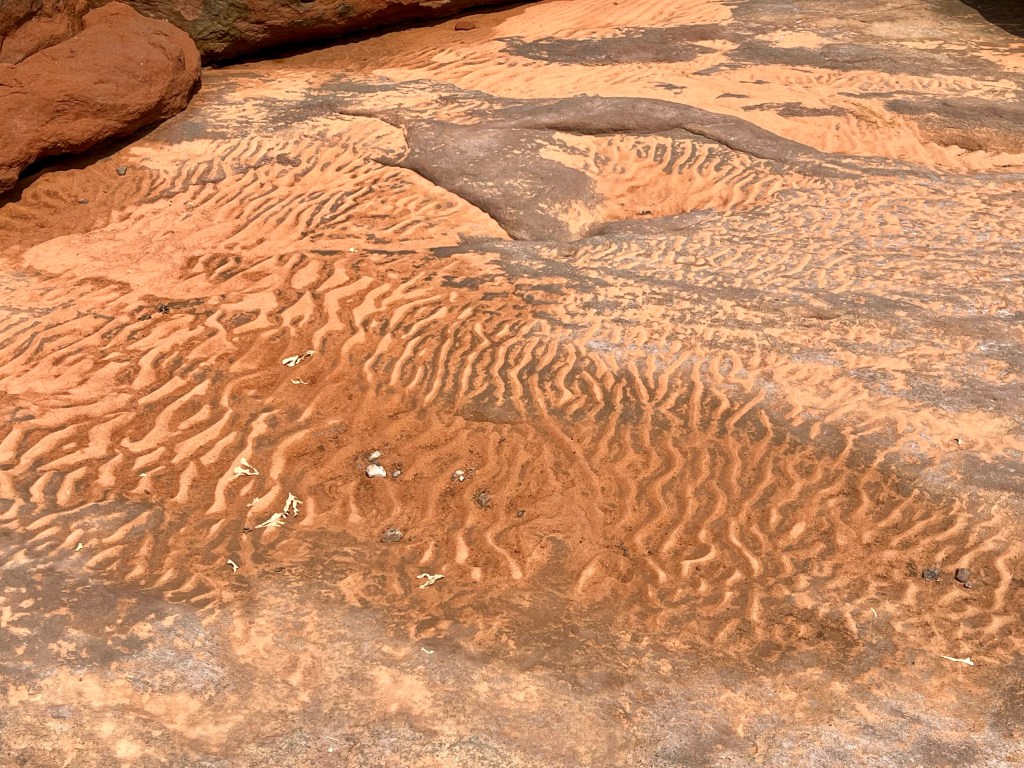
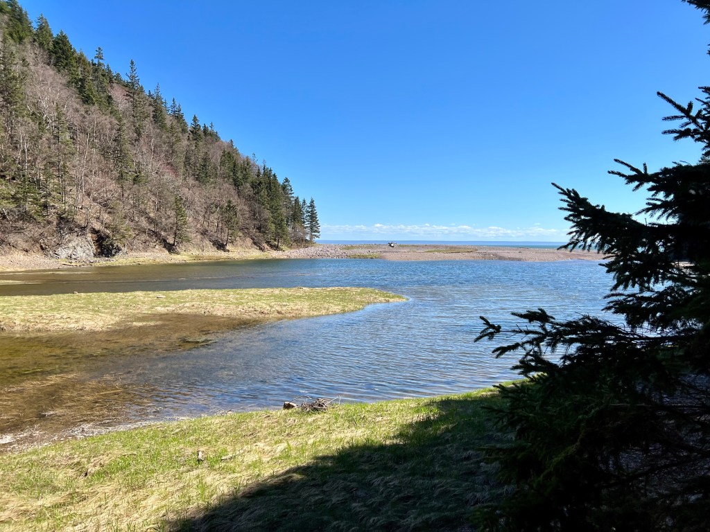
A sunny afternoon called for a nature outing. We chose Thomas Cove and were treated to low tide views and perfect conditions to explore not only the woodlands on top of the cliff but also the ocean floor.


We used the rope to access the sandstone without incident. I had lost my footing last time I tried this and the colour of my clothes was instantly changed to blend in with the sandstone cliffs😜. Yesterday we enjoyed the full width of the sandstone shelf.


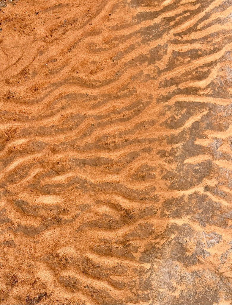


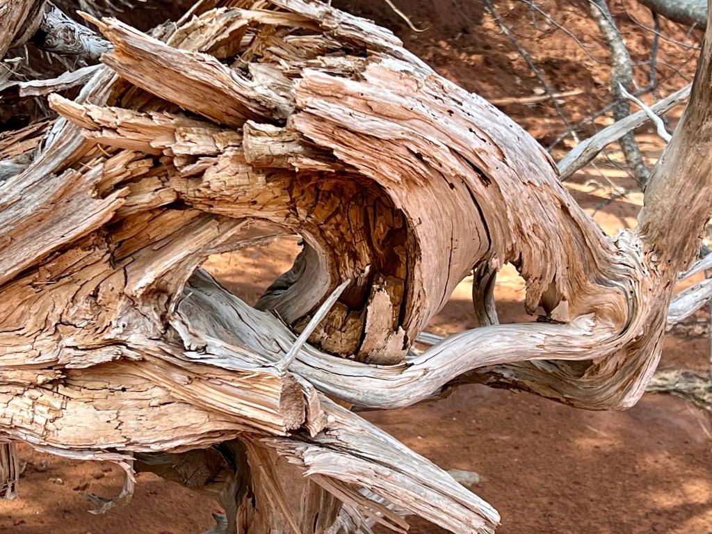


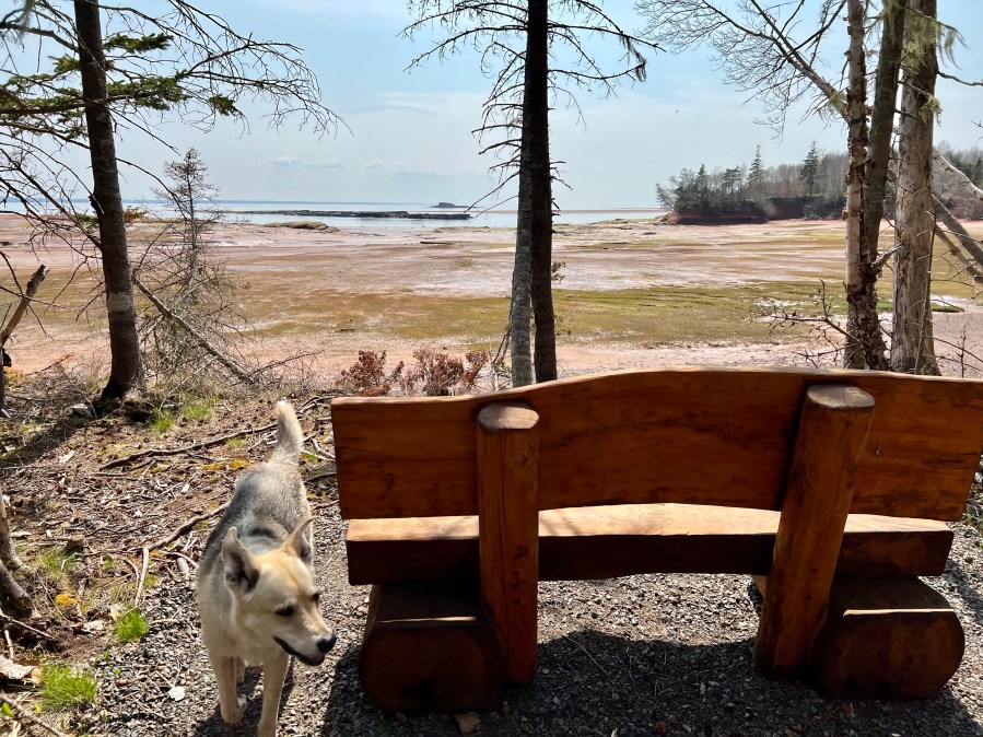
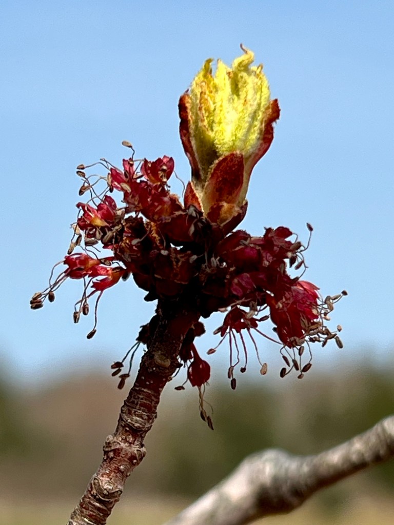
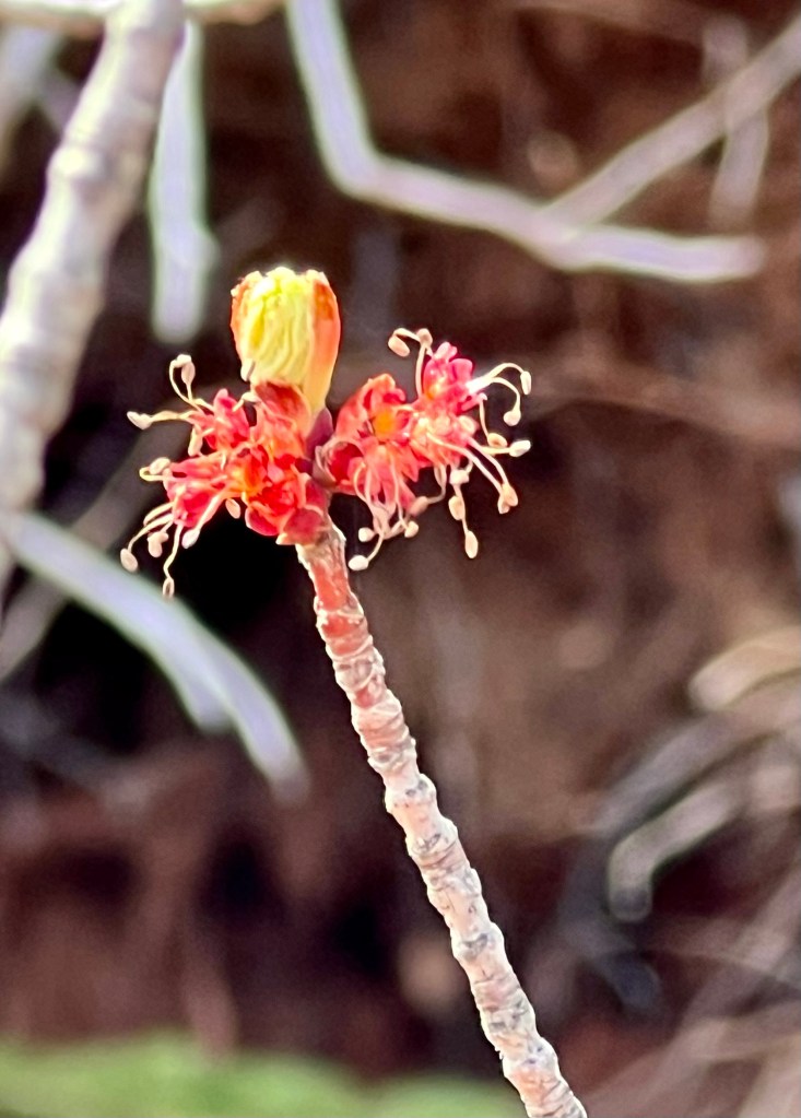
Sandstone formations and driftwood through the salt marsh… it never gets old! Throw in some buds bursting as we are our way back to the parking lot and you have the ingredients for a perfect Saturday!


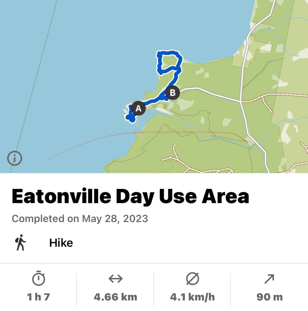
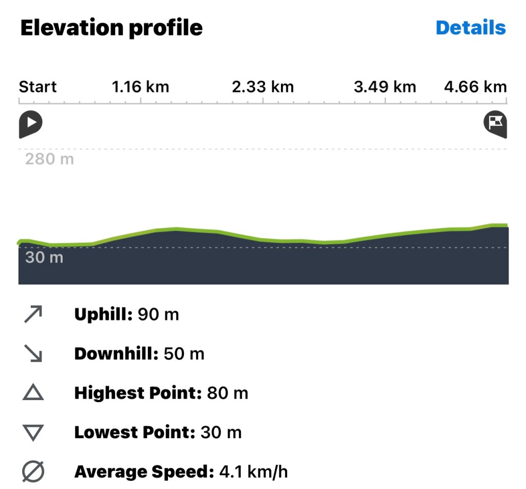
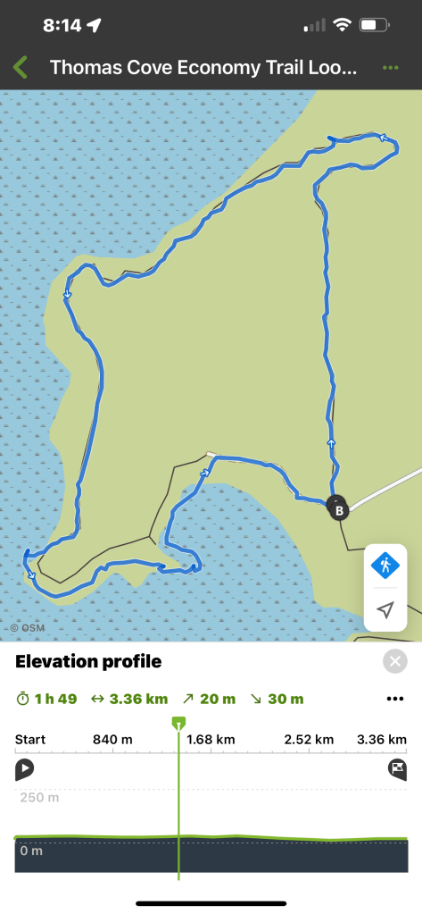
This woodland hike is suitable for most abilities. Don’t let the rope scare you. The slope is not too steep, just don’t attempt it after a day of rain. I am attaching the specs from my hike app below for additional reference.
Hope everyone had a beautiful Sunday, Anna


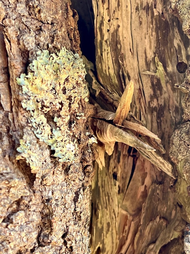
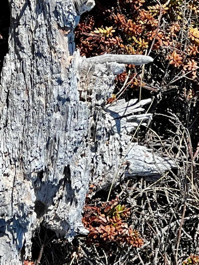

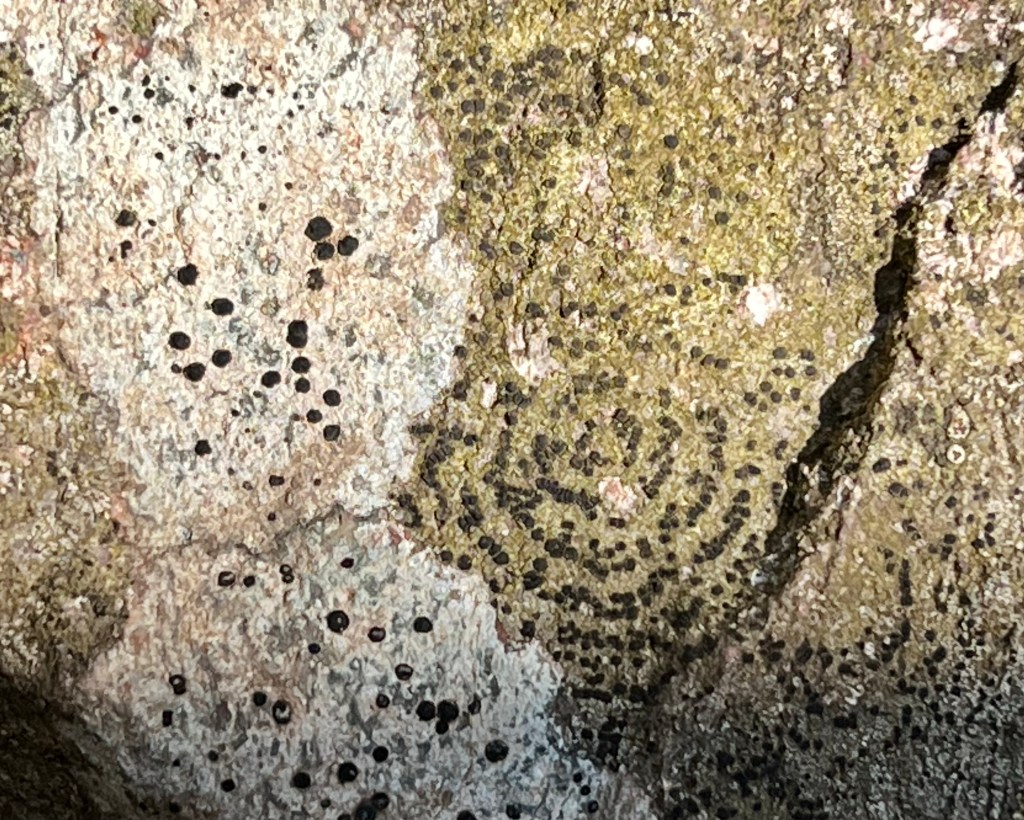


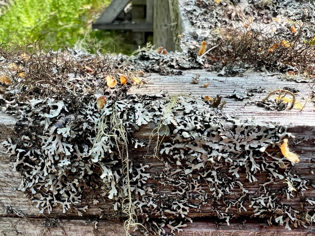
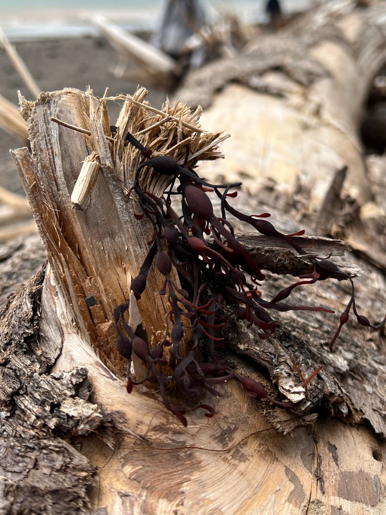
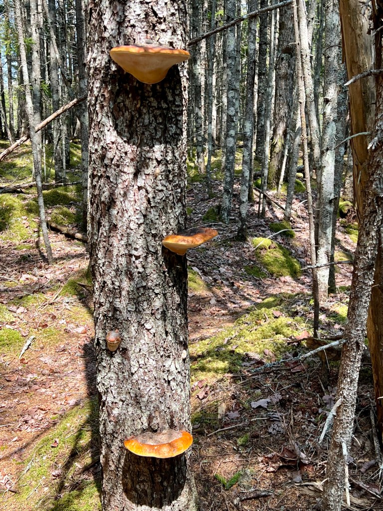
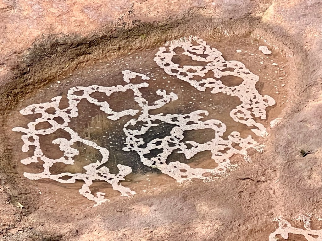
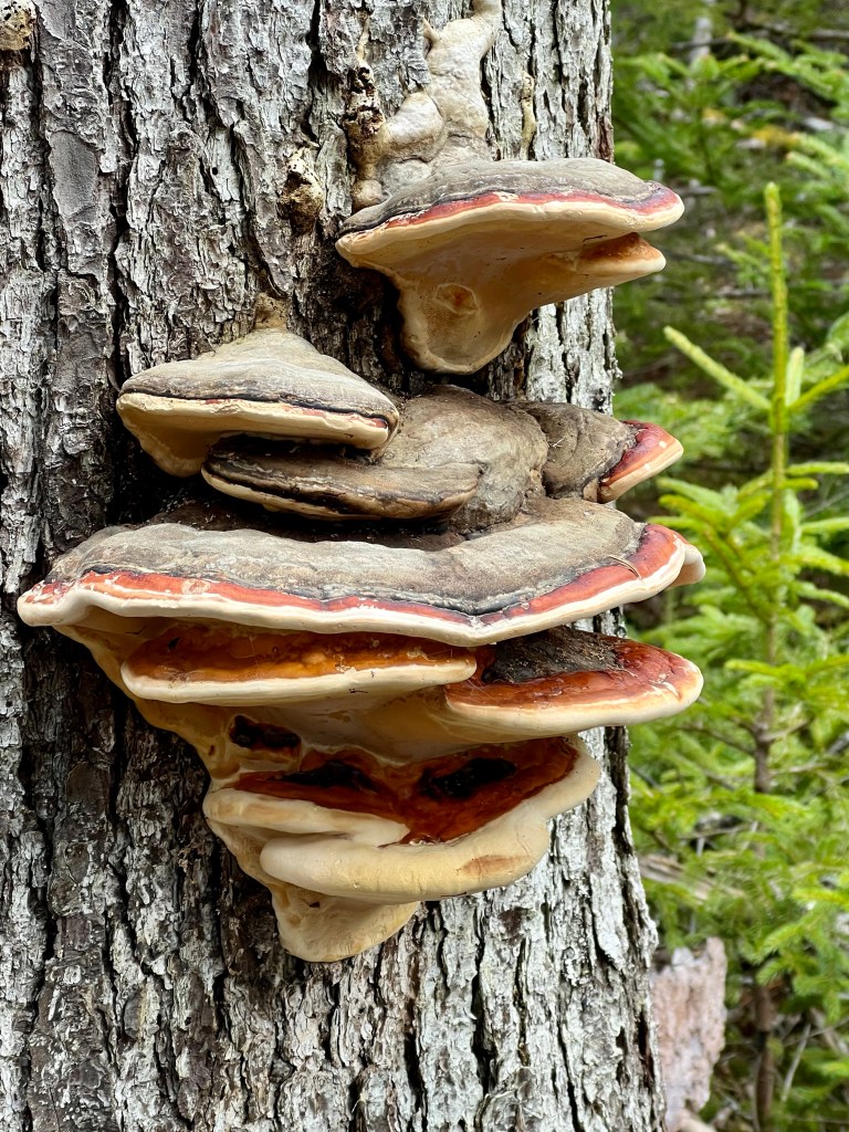
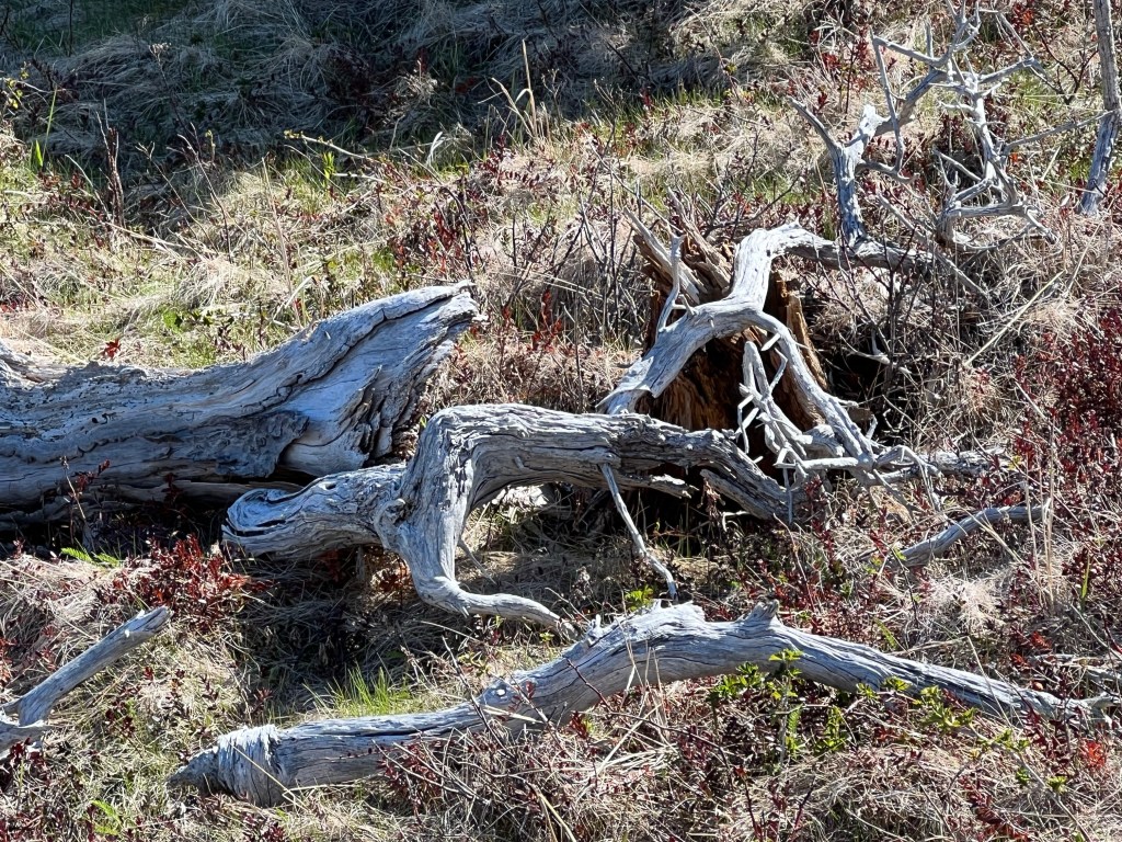
…clumps of moss, weathered driftwood, shelf fungi, newly emerged plants and a spiral lichen! Nature presents her gifts! Enjoy your Saturday. Best wishes, Anna


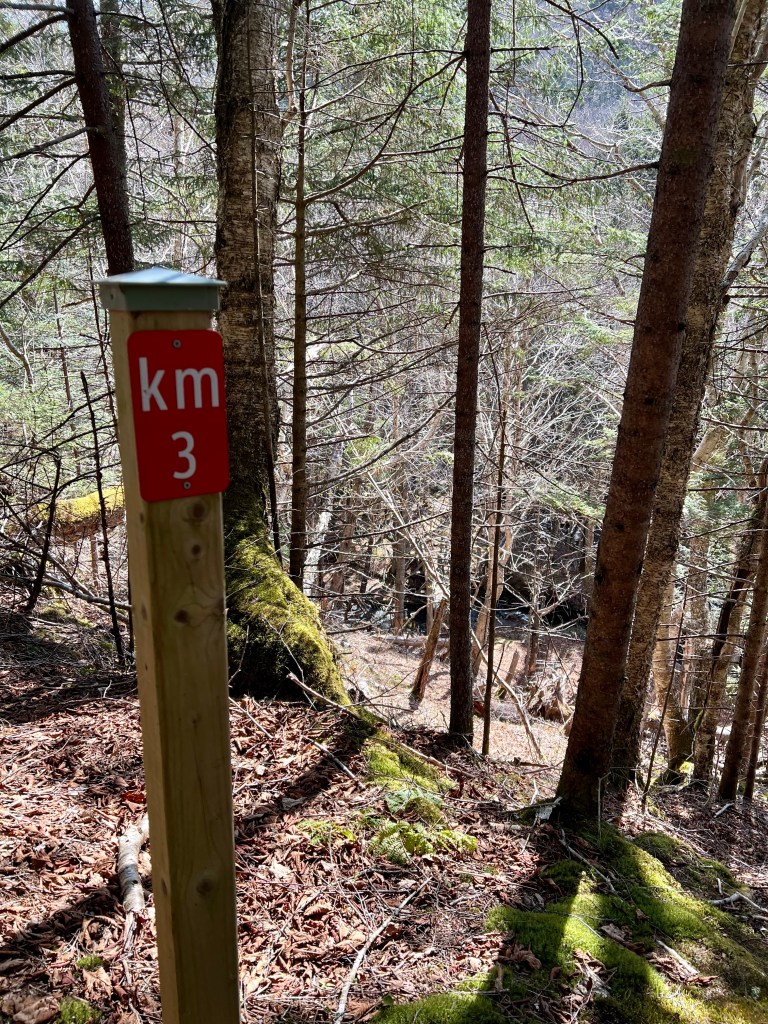
Monday morning arrived with soft light and no rain. Breakfast was the quickest affair yet and with no tents to air or dry out we were back on the trail shortly after 7:30 am. 8 km to go… the finish line was so close!


With positive energy we forged ahead fully aware of the one big challenge still to come. Mill Brook provided our last water supply refill opportunity before we set out our final steep ascent of the 2 km long Mill Brook Hill.


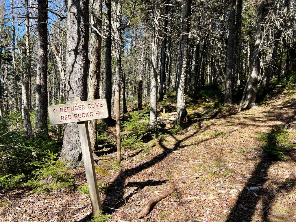
Part of the frustrating part of Mill Brook Hill is that at the onset the blue sign informs hikers that there are 6 km to go to Red Rocks… roughly half to three-quarter of the way up it’s still 6 km… it’s a hiker’s head scratcher moment for sure! I took it slow and eventually reconnected with my companions. This time it took me 40 minutes with a 35 lb pack. This was a vast improvement over the first time a year ago with just a little water in my meagre day pack.
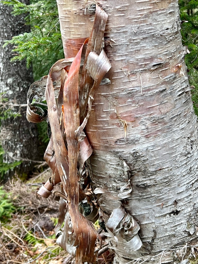


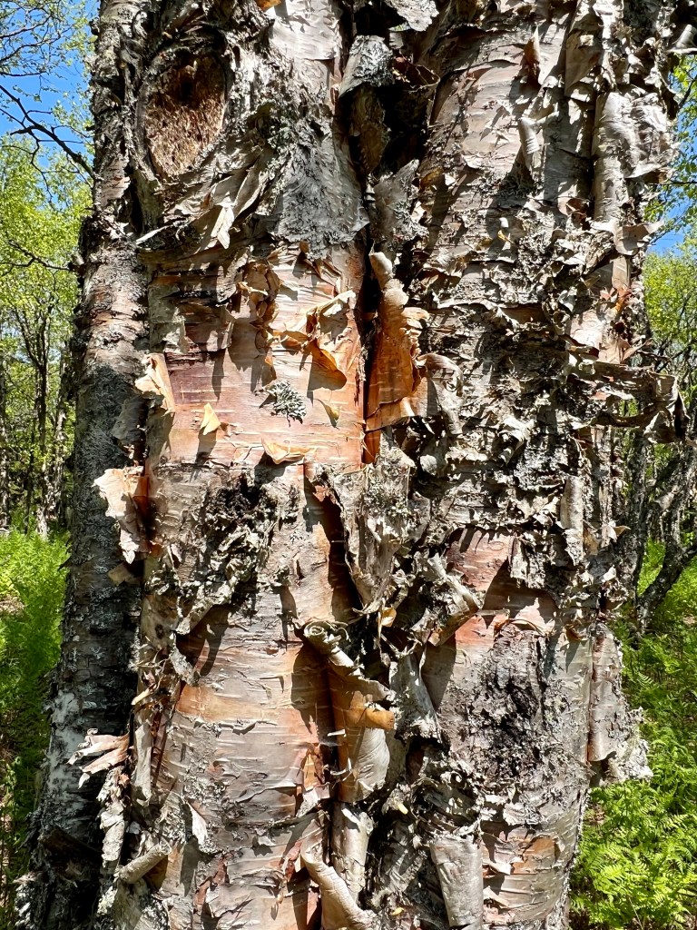
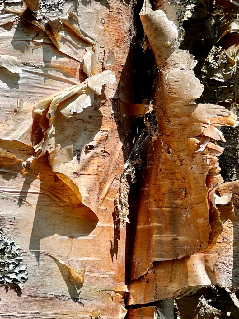
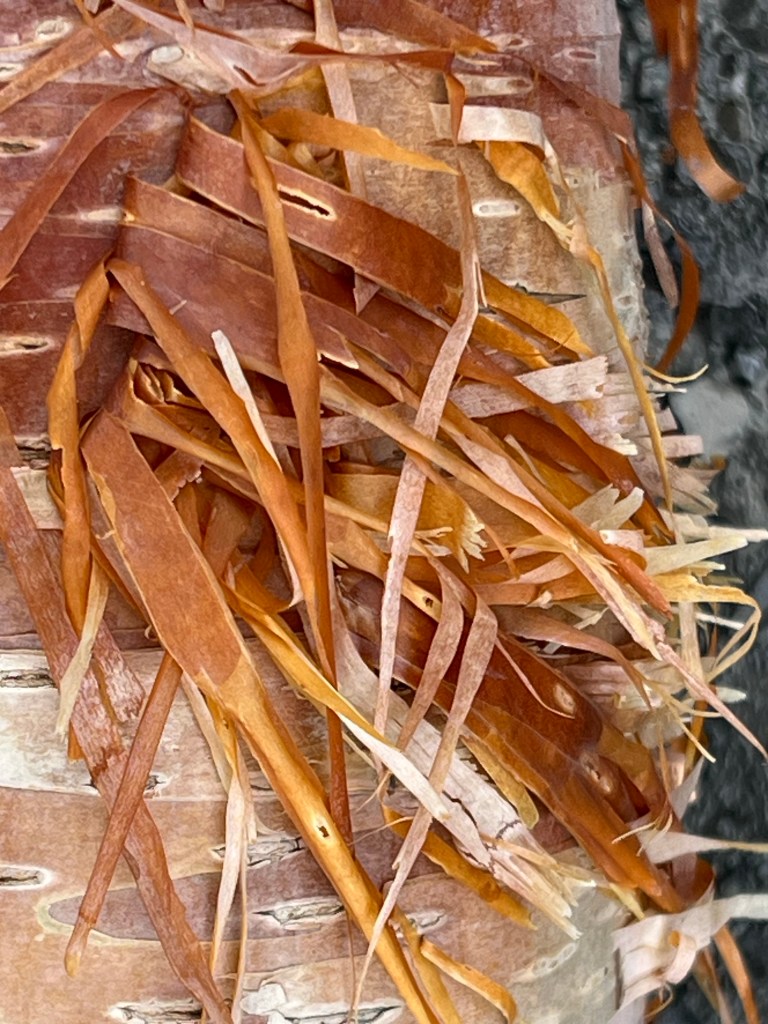
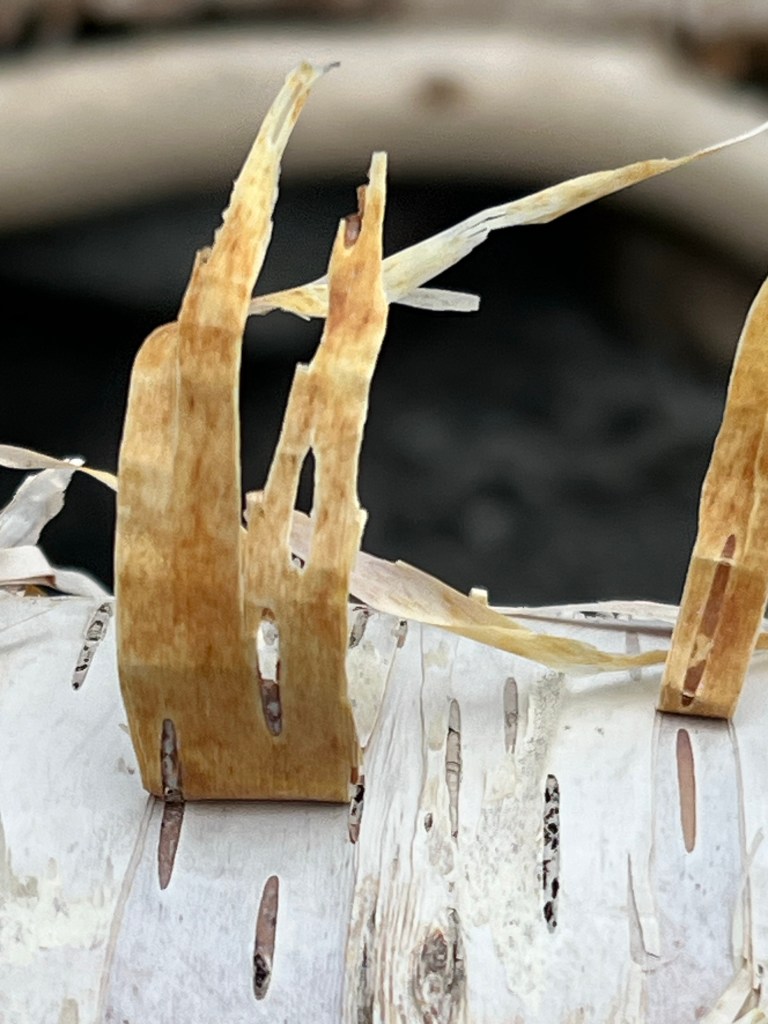
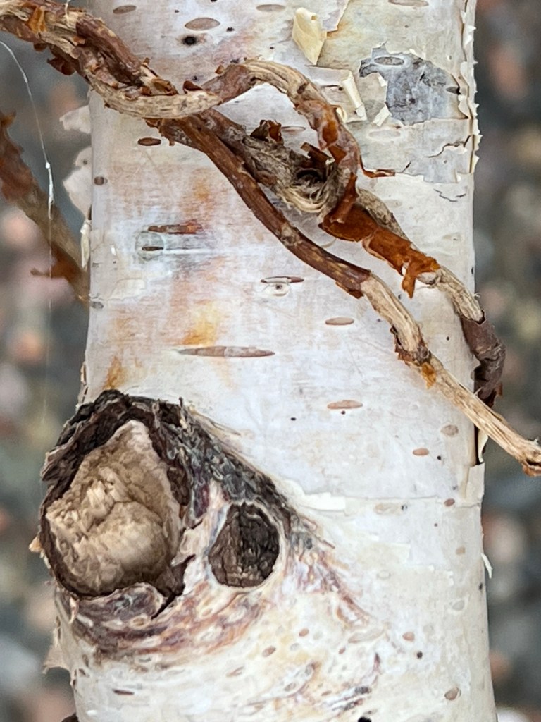
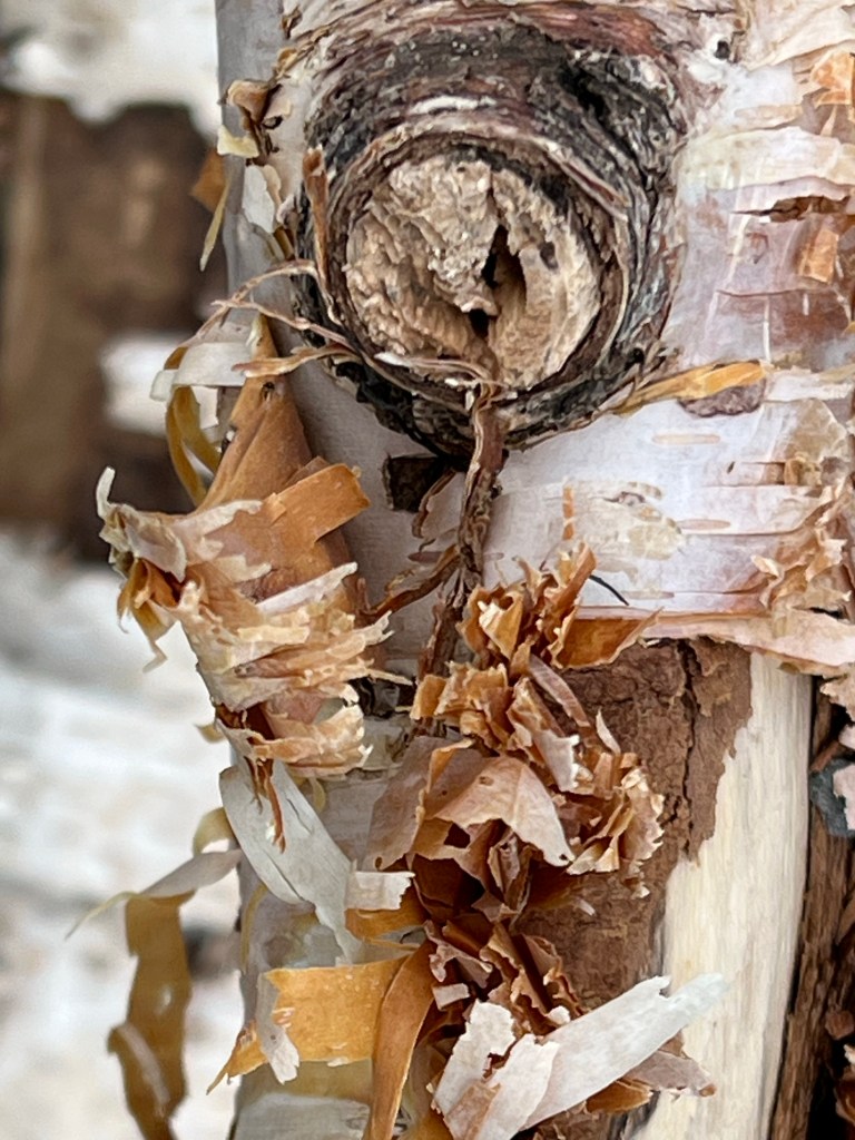
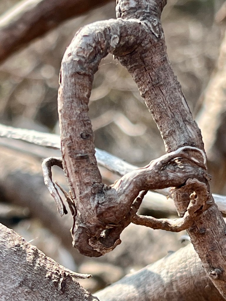
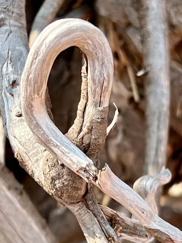
These birch bark curls were of particular note when I stopped for a breather.


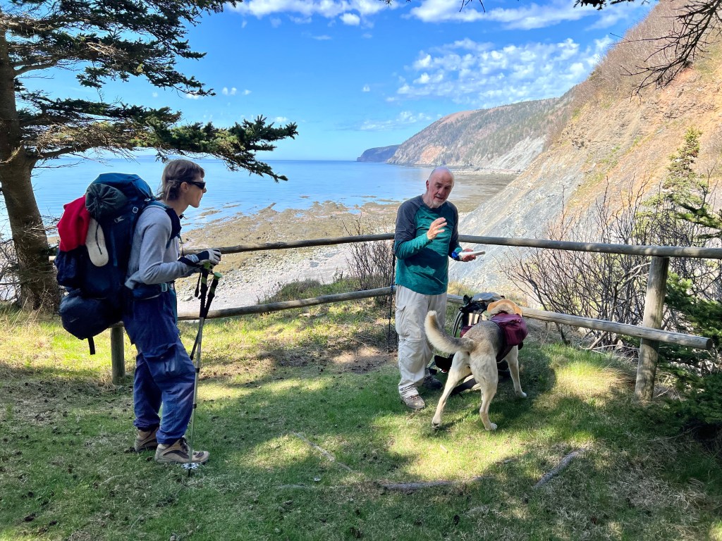

And here we were, just about to step onto the beach leading to Red Rocks, the place we started out from 71.5 hours earlier.
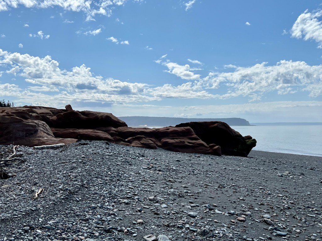
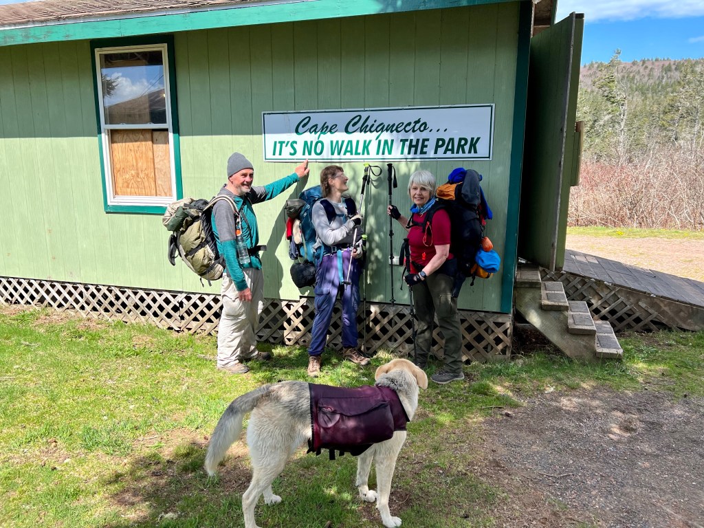

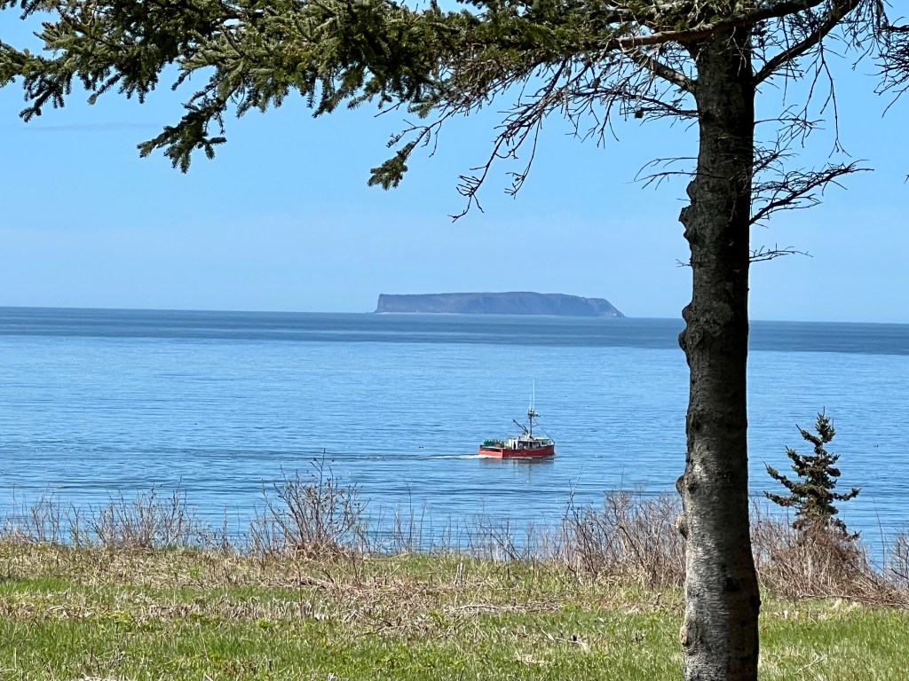
Red Rocks beckoned and our steps got longer. We just had to take another picture in front of the “Not a Walk in the Park” sign… in Need of a shower and a little sore but still sporting huge smiles. The lobster boats chugging in the Bay … we were nearly home!

Every epic adventure holds countless opportunities for learning. Circumnavigating Cape Chignecto was full of light-bulb moments: making sure we carry adequate water to avoid dehydration, taking smaller steps to better control slips and falls, levelling out the pack weight to manage shoulder pain and building in frequent rest periods to maintain optimum energy are just a few well known pieces of advice. Carrying extra dry socks is also important!
Choosing hiking partners who are encouraging, supportive and knowledgeable was my strongest asset. Gaby and Brian’s experience benefited this first time back country multi-day hiker immensely.
Getting home without knee pain is another huge win. Overall my body recovered in record time. Conditioning really paid off.
Will I do this hike again? Time will tell… all I know for now is that it won’t be next week or next month. 😁
I hope my honest and detailed account of this adventurous hike with its classification labelled “difficult” was to your liking.
Questions in the comment section are encouraged as always! Happy Friday, Anna


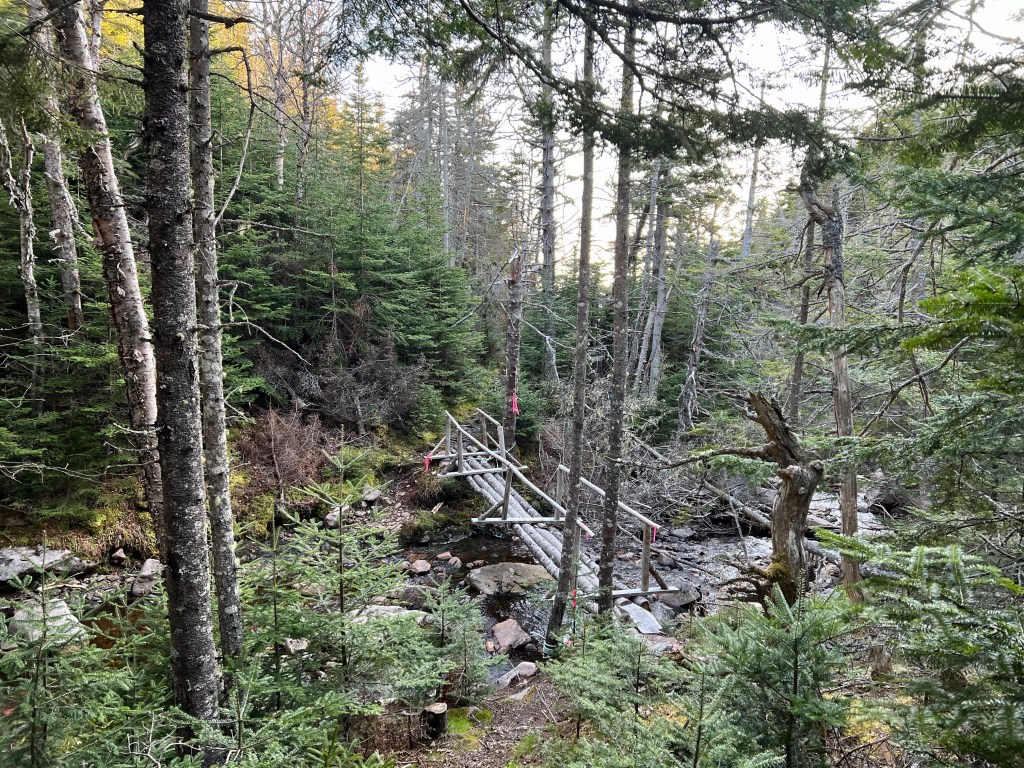
Rejuvenated by a restful night adjacent to the running water at Big Bald Rock Camp Sites the trek continued Sunday morning. Past the bridge we immediately came across a large boggy section that took skill in navigating to ensure relatively dry boots.


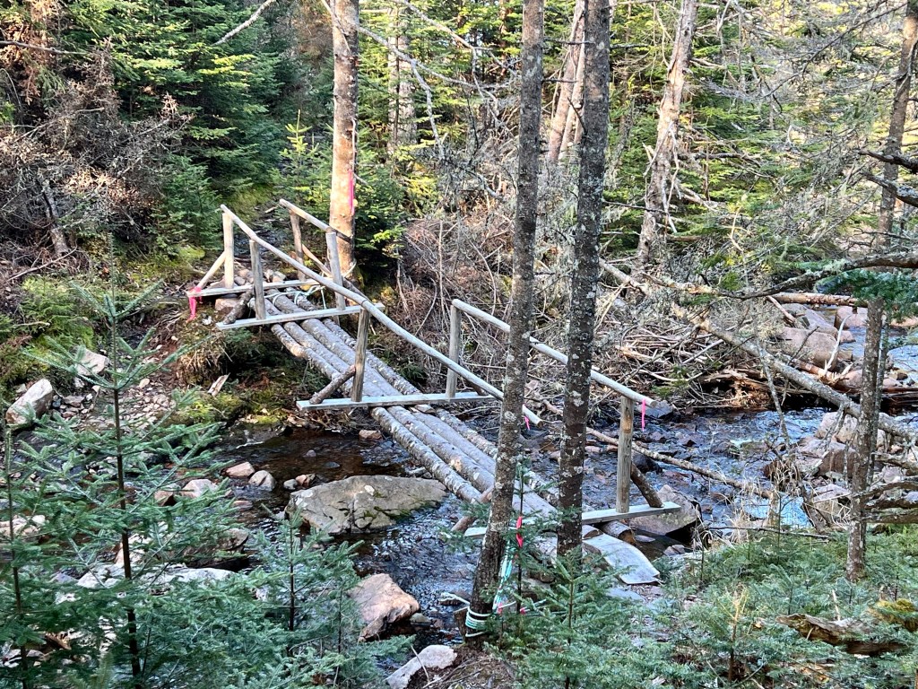
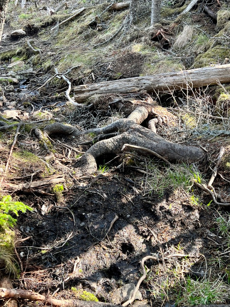
I classify Day Three of our hike the one with the most magnificent views. Experiencing these views is a privilege that comes with a price: navigating a most challenging trail! There were up and downhill scrambles over loose rocks with tree roots to hold onto for balance. I tried to not make myself think about that if a root was too weak to hold me and my pack what the consequences might be. There were sections where all I could do is take the next step and not look ahead or back for fear I might lose my balance. Gaby said it best when she reminded us that it was not just about one’s physical stamina but that being mentally alert was just as taxing while negotiating large boggy sections, scattered rocks or narrow logs to negotiate across a running stream or simply finding the appropriate root on a steep section of trail where we could firmly plant our boot before advancing.


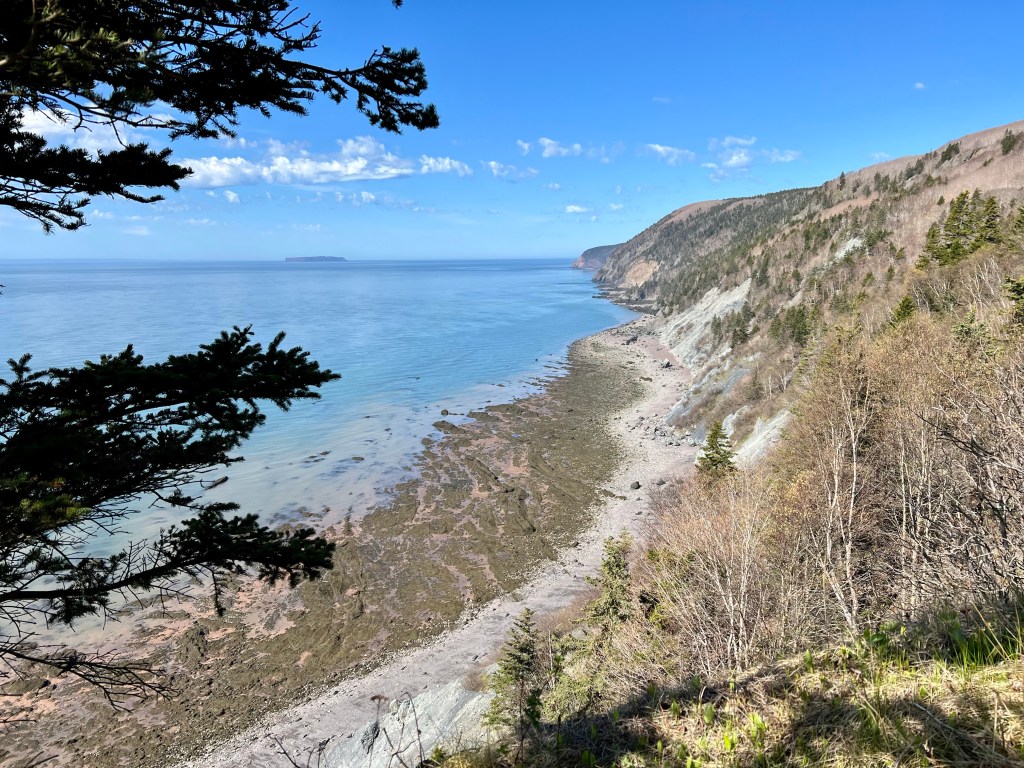
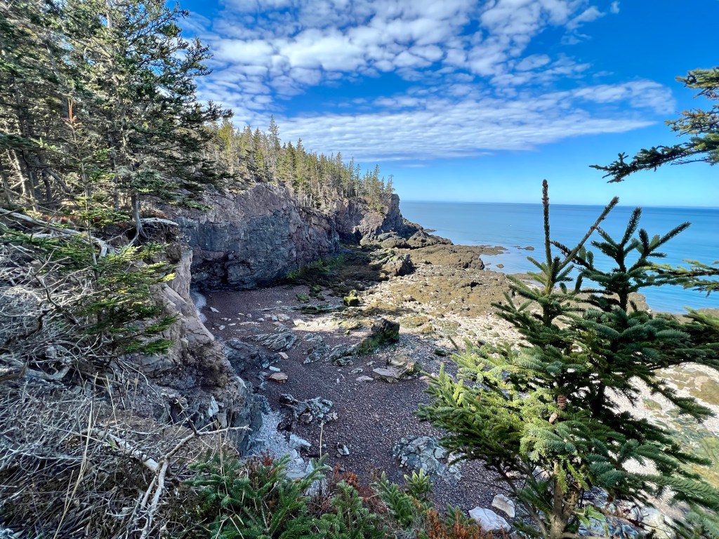
The rewards for each challenge are immense! Around every bend, atop every steep trail section and between clusters of trees there was the mighty Bay of Fundy with rugged beaches, unique geological formations and bright sunshine.

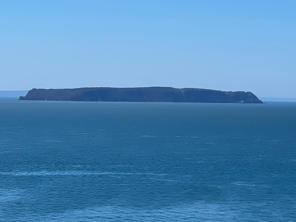
Isle Haute was in our view all morning on Sunday. Once we arrived at Cape Chignecto Point it presented itself in all its glory, unobstructed and mysterious.
Lunch became an almost sacred affair…

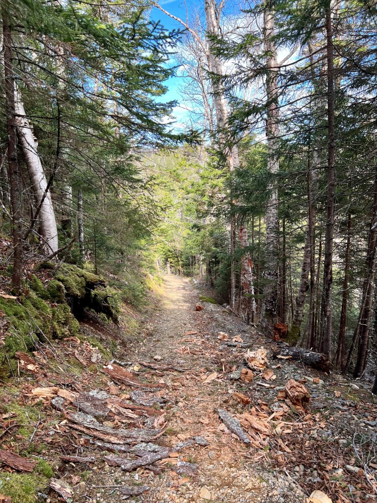
But as they saying goes, no rest for the wicked! We had our goal set to reach Refugee Cove. Soon we were treated to more fabulous views. Before I share these views I also need to share images of some of the terrain we negotiated along the way thus far.


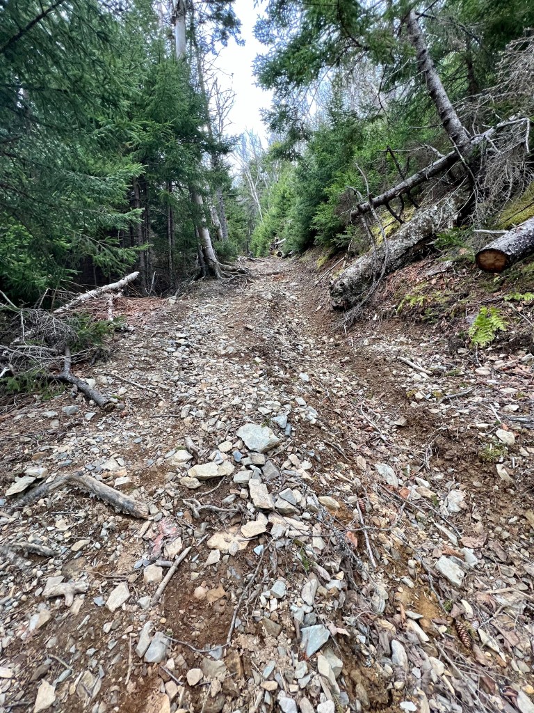
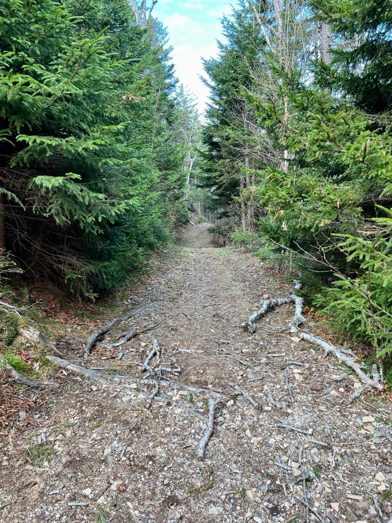
The park opens for the season officially on the May long weekend. When we headed out the work crew had not started to clear trails of deadfall and there were countless situations where we needed to walk around and over fallen trees. My short legs are a definite disadvantage. Enough about the tough terrain, back to more coastline images.


We arrived at Refugee Cove at high tide, a sight I had not enjoyed previously. Somewhere along the trail we had made the decision not to pitch our tents here as the weather forecast we last heard before our departure called for rain during the night and the next day. So, we pushed on leaving the tranquility of Refugee Cove and Ol’ Sal behind. it was also time to refill our water reservoirs.., when I discovered that I had lost my titration system somewhere between our lunch stop and the fill site at Refugee Cove. Another good reason to hike with friends… Brian was able to offer his titration system so I could at least fill my back up bottle with clear and cool life-sustaining water!

And just because we can, we climbed another steep rise. We were all familiar with this next stretch and were grateful not to be ascending during cold weather or first thing in the morning!
We pushed on to Arch Gulch Cabin where we set up for our last night. We made ourselves at home on the deck overlooking Advocate Harbour and Cape d’Or. what a view to enjoy as night fell.


After hiking another 13 km we were asleep early and fast. The strong evening wind off the water below made the protective tarp flap but we soon entered dreamland.
This has been a long post. I will take a break here and finish up the Cape Chignecto hike report tomorrow. Wishing everyone a fantastic rest of the day, Anna

After 15 km of ascends and descents through springtime woodlands on Friday and a chilly night below the full moon, we woke up early to frost-kissed leaves. Brian estimated that it got to -3 to -5C. I believe it… the way the cold kept creeping up from my lower back to my shoulders was annoying. I had about two hours of continued sleep. But the anticipation soon took over again. Tent and cooking supplies packed away after a cup of coffee and breakfast we lifted our heavy packs back onto our shoulders and turned toward Seal Cove.

This stretch of coast-line is breath-taking! I explored it last year May and the imagery has haunted me ever since. I knew I had to come back! The weather on Saturday did not disappoint. Sunshine, dry weather and a light breeze to keep us from overheating – it was perfect for a coastal hike.


The terrain along here is not for the faint of heart. Steep ascends and descents rewarded us with views fit for royalty. (Rumour had it that the Royal Family had another engagement…). We stopped for while at Seal Cove to listen to the waves, soak up sunshine, take our boots off and fill our water reservoirs while chowing down on lunch.
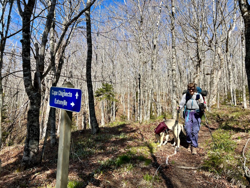
The next stretch offered even more unique and breath-taking vistas. It made up for the strenuous terrain. We met hikers who consulted the map with us to determine where the best place would be to “bail” and exit via a park service road. We forged on. The destination “Big Bald” Camp Ground.


I had underestimated my water supply and found out just how challenging the trail would be, lack of hydration greatly magnifying these difficulties. And then we heard the rush of fresh water. Brian had overtaken Gaby, Enya and I. We had agreed to meet up at the campground.


Just as we located the trails marker leading to the river we briefly stopped to figure out whether to follow the flood trail marked with pink survey tape. But the lure of cool, running water was so strong we pushed ahead. Half-way down the steep trail Brian called out persuading us to turn around and follow the flood trail. That was tough to do. By now I had used up all my water and I could feel myself getting quite discouraged. Suffice it to say, we climbed to the top of the trail, turned right and headed in the direction of “ Big Bald Cabin”. Brian met up with us and suggested we pitch our tents right there, the main obstacle being that we had to scramble down a steep hill to access the river. We knew we would have to make our way down that hill eventually to continue on the trail the next day. We straightened up, focused and… scrambled down the steep incline without a clear trail to follow. The pink survey tape fluttered in the wind.
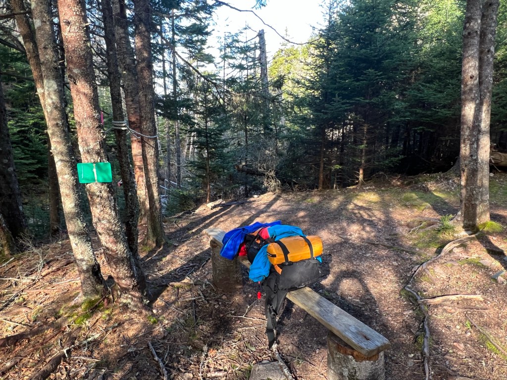
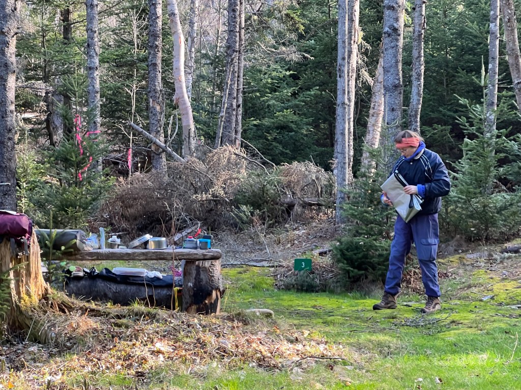
The campground was our least favourite. Yes, it was close to clear, fresh water but it was dark and very damp. We spread out and selected the best sites we could find. My reasoning powered great diminished due to the lack of water my tent found itself pitched next to the trail access overlooking the rushing river and bridge leading across. The fact that it might be very damp only crossed my mind after I had rehydrated and eaten some dinner. I begged off early to crawl into my sleeping bag for much needed sleep. The end of day two brought some much needed sleep. We had hiked another 14.9 km.
This is where the account of Day 2 comes to a close. Our feet were sore, our shoulders ached from the heavy packs and we knew that we had passed the half-way mark of the Cape Chignecto Trail. We were well on our way toward closing the circular route. And there was so much more ahead… check back tomorrow for Day 3 of the adventure.
Best wishes for a great Wednesday. It’s NSWalks here in Nova Scotia. A great opportunity to lace up our hiking shoes and join others, Anna
